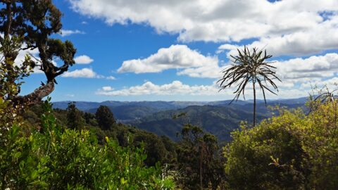
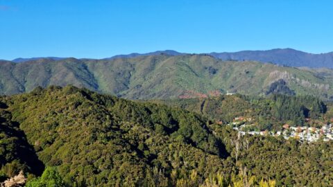
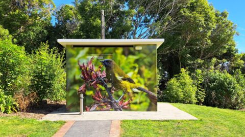
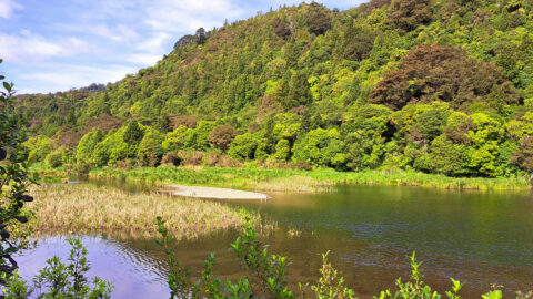
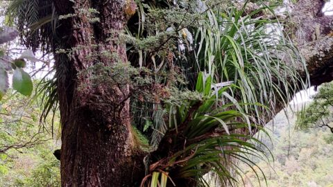
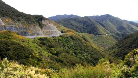
The Whakanui Track passes through typical native rainforest in this section, where ferns and beech trees dominate the landscape.
ALL / Explore Oceania / Explore New Zealand / New Zealand Photos / Remutaka Forest Park photos / Whakanui Track & Rainforest
All original royalty-free photos, shareable maps, and informative articles.
Whakanui Track & Rainforest
Page Views
This post has been viewed 207 times
Related Articles
-
Remutaka Foothills
Remutaka Forest Park photos, Extra Wide Horizontal, Forests
View of the Remutaka foothills located inside Wainuiomata Regional Park. The park borders one of the most extensive tracts...
-
Forest on the Five Mile Track
Remutaka Forest Park photos, Forests, Portrait / Vertical, Trees
The Five Mile Track within the Remutaka Forest Park, more specifically in Catchpool Valley, is an easy walk that...
-
Remutaka Hills View
Remutaka Forest Park photos, Extra Wide Horizontal, Forests, Mountains
Observing the hills leading towards Wainuiomata from the summit of a ridge in the Remutaka Range, precisely along the...
-
Wainuiomata Hills & Remutaka
Remutaka Forest Park photos, Extra Wide Horizontal, Mountains
Gazing at the hills of Wainuiomata, with the Remutaka Range serving as a scenic backdrop. Wainuiomata is divided from...
-
McKerrow Track Facilities
Remutaka Forest Park photos, Extra Wide Horizontal, Forests
Near the beginning of the McKerrow Track is this toilet facility. The art work depicts a Yellowhead bird also...
-
Wetland Remutaka
Remutaka Forest Park photos, Extra Wide Horizontal, Forests, Wetlands
This wetland area is located at the foothills of the Remutaka Range in the Wainuiomata Recreational Area.
-
Large Tree with Epiphytes
Remutaka Forest Park photos, Forests, Portrait / Vertical, Trees
Large trees serve as a refuge for numerous types of epiphytes within the podocarp rainforests found in the southern...
-
Remutaka Hill Road
Remutaka Forest Park photos, Forests, Landscape / Horizontal, Mountains, Roads
View of the Remutaka Hill Road which connects Wellington to the Wairarapa. The road also marks the boundary between...
0 Comments
Popular Posts
- Awakening New Zealand video (100)
- Iguazu Falls as seen from Brazil (87)
- Metrocable Medellin (78)
- Pauatahanui Inlet (69)
- Spinnaker Hill View (69)
- Spinnaker Hill in Whitby Porirua (69)
- View from Whitby (68)
- The Devil’s Throat (63)
- Aerial View of Iguazu Falls (61)
- Porirua Harbour & Papakowhai (58)
- Lake Wakatipu (57)
- Salto Rivadavia & Iguassu River (56)
- Salto Rivadavia Misiones Province (54)
- Close up of Salto Rivadavia (54)
- Cascadas at Iguazu (54)
- Lake Tekapo & Lupins (54)
Subjects
AccommodationAnimalsArchitectureBeachesBirdsBoatsBridgesBuildingsCarsChurchesCitiesCoralCultureExtra Wide HorizontalFlowersForestsHarborsHomesIslandsLakesLandscape / HorizontalMapsMenMonumentsMountainsPalmsParksPeoplePlantsPortrait / VerticalRiversRoadsRuralSeaShopsSkyscrapersSnowSunsetsTownsTrailsTransportTreesVideosVolcanicWaterfalls
Recent Comments
- DavidJ on The True Size of Australia
- Anonymous on The True Size of Australia
- Lance on Concrete Hut Wainuiomata
- Tony on Concrete Hut Wainuiomata
- DavidJ on Wellington Night Skyline