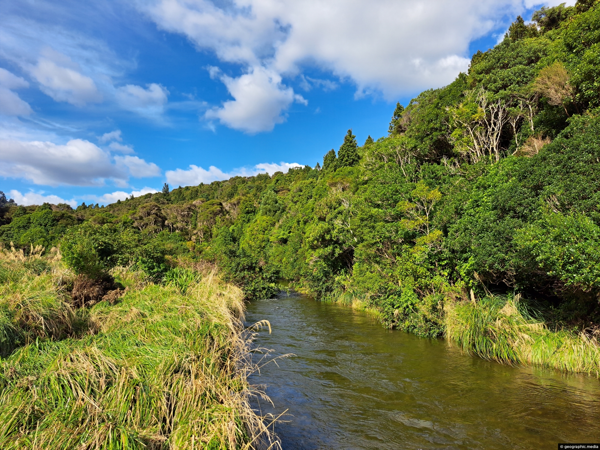
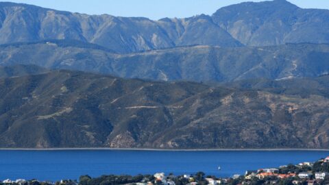
View of the upper reaches of the Wainuiomata River at the foothills of the Remutaka mountain range in the lower North Island.
Click Jigshare icon to turn the image into a jigsaw. Or click on photo to download or view full screen image.

View of the upper reaches of the Wainuiomata River at the foothills of the Remutaka mountain range in the lower North Island.
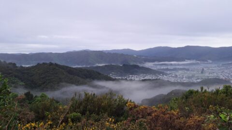
Mist over the Wainuiomata Basin and surrounding hills. Photo taken from the western hills between Wainuiomata and the rest...
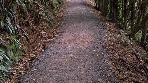
The opening section of the Orongorongo Track is relatively straight, with a surface of compacted stones that provides firm...
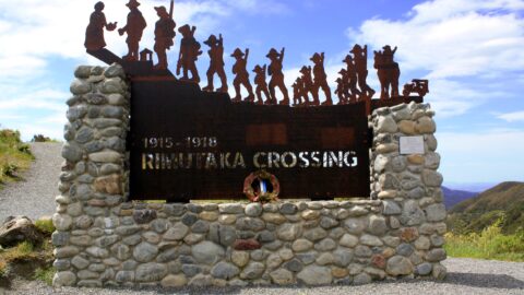
In honor of the soldiers who left for World War I from the Featherston Military Camp, a unique commemorative...
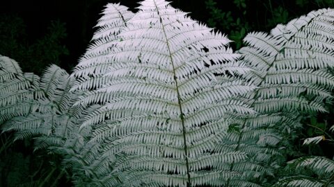
A silver fern at dusk with use of a flash reflecting off the underside of the fronds. The Silver...
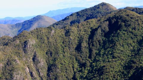
Mount Climie is a peak located in the Rimutaka Range on the southern end of the North Island of...
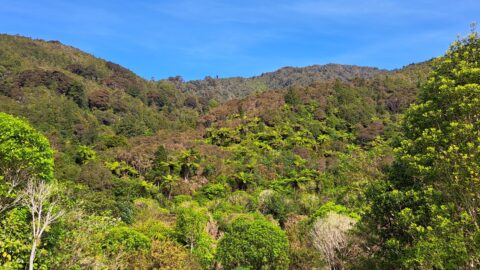
View of a forested hillside within the Remutaka mountains located inside the Wainuiomata Recreational Reserve.
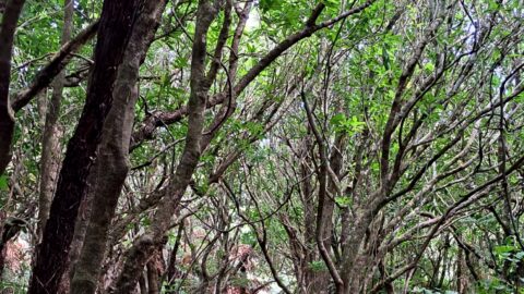
View of a typical walking trail in Catchpool Valley, located at the foothills of the Remutaka Range, in Wainuiomata.
View from Mt Victoria looking past Wellington Harbour toward coastline near Eastbourne and the Remutaka Range in the background....
