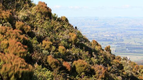
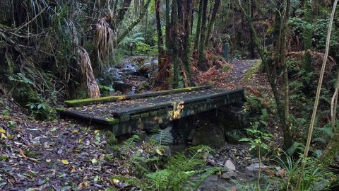
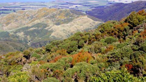
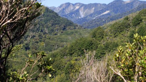
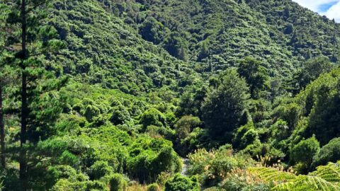
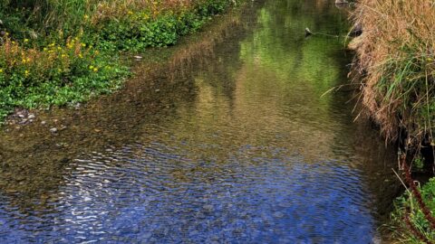
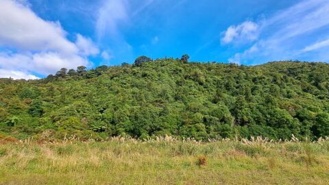
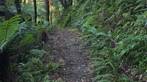
Subalpine view of the Remutaka Range, looking south, with Mount Climie prominently visible. Tunnel Gully serves as a key access point to Mount Climie, starting from a designated car park near Kaitoke. The area features a network of walking and mountain biking tracks, passing through native forest and remnants of historic railway tunnels. The **Mt Climie Track** leads to the summit, which, at 860 metres, offers panoramic views over the Hutt Valley, Wellington Harbour, and beyond. The summit also hosts radio transmission towers, a notable landmark visible from lower elevations.

ALL / Explore Oceania / Explore New Zealand / New Zealand Photos / Remutaka Forest Park photos / Mt Climie Remutaka Range
All original royalty-free photos, shareable maps, and informative articles.
Mt Climie Remutaka Range
Page Views
This post has been viewed 1,076 times
Related Articles
-
New Zealand Falcon
Remutaka Forest Park photos, Animals, Birds, Portrait / Vertical
The New Zealand Falcon (Kārearea) is the only living bird of prey endemic to New Zealand. It exists south...
-
Kiwi Zone Sign
Remutaka Forest Park photos, Portrait / Vertical, Signs, Trails
A sign alerting to walkers in the Remutaka Forest Park that there are kiwi birds in the forest and...
-
Trail in Catchpool Valley
Remutaka Forest Park photos, Forests, Portrait / Vertical, Trails
View of a typical walking trail in Catchpool Valley, located at the foothills of the Remutaka Range, in Wainuiomata.
-
Information sign on the Orongorongo Track
Remutaka Forest Park photos, Forests, Portrait / Vertical, Trails
These types of information signs at the beginning of the Orongorongo Track focus on a particular native bird species....
-
Catchpool Stream in Wainuiomata
Remutaka Forest Park photos, Forests, Portrait / Vertical, Rivers
Catchpool Stream in Wainuiomata is a tributary of Wainuiomata River. The stream flows through the Remutaka Range and out...
-
Wetlands Area
Remutaka Forest Park photos, Extra Wide Horizontal, Forests, Mountains
A tree is slowly rotting in a natural wetlands area inside the Wainuiomata Regional Park. The park is located...
-
Mist Over McKerrow Ridge
Remutaka Forest Park photos, Extra Wide Horizontal, Mist, Mountains
Cloud rises against McKerrow Ridge, shrouding the forested slopes of Remutaka Forest Park in mist. The area receives high...
-
Whakanui Track
Remutaka Forest Park photos, Portrait / Vertical, Tracks
The Whakanui Track begins at the top of Sunny Grove and crosses McKerrow Ridge before descending into the Ōrongorongo...
0 Comments
Popular Posts
- Awakening New Zealand video (100)
- Iguazu Falls as seen from Brazil (87)
- Metrocable Medellin (78)
- Pauatahanui Inlet (69)
- Spinnaker Hill View (69)
- Spinnaker Hill in Whitby Porirua (69)
- View from Whitby (68)
- The Devil’s Throat (63)
- Aerial View of Iguazu Falls (61)
- Porirua Harbour & Papakowhai (58)
- Lake Wakatipu (57)
- Salto Rivadavia & Iguassu River (56)
- Salto Rivadavia Misiones Province (54)
- Close up of Salto Rivadavia (54)
- Cascadas at Iguazu (54)
- Lake Tekapo & Lupins (54)
Subjects
AccommodationAnimalsArchitectureBeachesBirdsBoatsBridgesBuildingsCarsChurchesCitiesCoralCultureExtra Wide HorizontalFlowersForestsHarborsHomesIslandsLakesLandscape / HorizontalMapsMenMonumentsMountainsPalmsParksPeoplePlantsPortrait / VerticalRiversRoadsRuralSeaShopsSkyscrapersSnowSunsetsTownsTrailsTransportTreesVideosVolcanicWaterfalls
Recent Comments
- DavidJ on The True Size of Australia
- Anonymous on The True Size of Australia
- Lance on Concrete Hut Wainuiomata
- Tony on Concrete Hut Wainuiomata
- DavidJ on Wellington Night Skyline