View of the Orongorongo Track and one of many foot bridges that allow you to cross smaller streams within the Remutaka Forest Park.

Click Jigshare icon to turn the image into a jigsaw. Or click on photo to download or view full screen image.

View of the Orongorongo Track and one of many foot bridges that allow you to cross smaller streams within the Remutaka Forest Park.
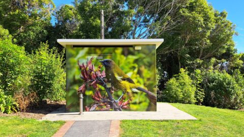
Near the beginning of the McKerrow Track is this toilet facility. The art work depicts a Yellowhead bird also...
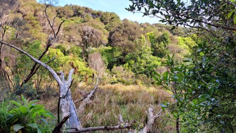
A tree is slowly rotting in a natural wetlands area inside the Wainuiomata Regional Park. The park is located...
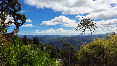
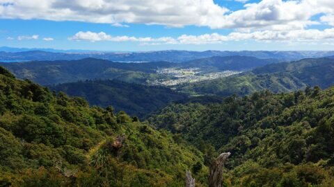
Observing the hills leading towards Wainuiomata from the summit of a ridge in the Remutaka Range, precisely along the...
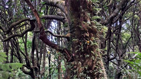
Unusual double trunk tree located in Catchpool Valley in the Remutaka Forest Park, Wainuiomata.
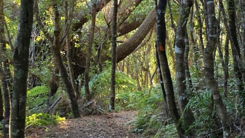
The Whakanui Track passes through scenic forest in Remutaka Forest Park. It climbs steeply, revealing different forest types as...
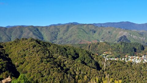
View of Wainuiomata from the Remutaka Range located in the southern North Island. Also in view are the western...
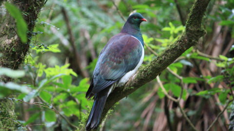
The New Zealand Pigeon (Maori: kererū) is endemic to New Zealand. They are a large bird with iridescent green...
Gazing at the hills of Wainuiomata, with the Remutaka Range serving as a scenic backdrop. Wainuiomata is divided from...
