
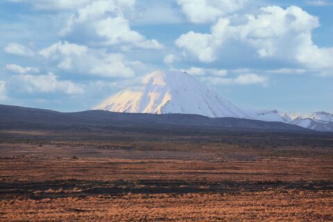
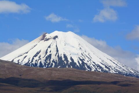
Mount Ngauruhoe is surrounded by tussock plains on the east and western sides. This view is seen from State...
Tongariro National Park photos
About
About Tongariro National Park
Our photos of Tongariro National Park include three major volcanoes of Ruapehu, Ngauruhoe, and Tongariro.
The national park is not just about these volcanoes, but the surrounding volcanic landscapes which features several craters, vents, fissures, and crater lakes.
Inside the park is the famous Tongariro Alpine Crossing which opens up the park to visitors by allowing visitors to penetrate this volcanic environment. It is a well maintained trail with a hut for overnight accommodation. It is one of New Zealand’s most scenic treks and is one of the word’s best one day walks. The trail passes by both Mount Ngauruhoe and Mount Tongariro. Other volcanic features on-route are the Emerald Lakes, Blue Lake, and Red Crater.
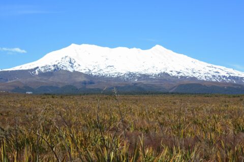
Mt Ruapehu is the highest peak in the park and in the North Island. It is large enough to host three ski fields. They are Whakapapa, Turoa, and Tukino. The mountain is quite a sight to see as it rises above surrounding plains and farmland. Below the snowline are tracts of ancient beech forest offering many walks and trails. Some of these lead to spectacular waterfalls.
Mount Ngauruhoe is located next to Ruapehu. It was used as the stand-in for Mount Doom in Peter Jackson’s ‘The Lord of the Rings’ film trilogy. It is an almost perfect cone shaped peak that is surrounded by tussock plains. This provides great views of the mountain from both State Highway 1 and 4 which both go around the peak.
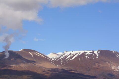
Mount Tongariro is the smaller of the three volcanic peaks, but the presence of steam bellowing out the side of the flat top mountain makes it stand out.
For more photos of Mt Tongariro, visit Virtual New Zealand.
An unobstructed view of Mount Ruapehu in the central North Island from a large wetlands area containing native grasses....
A plume of white hot steam escapes out of Te Maari Crater on Mount Tongariro. Tongariro is the third...
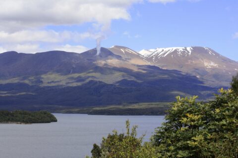
View of Lake Rotoaira with Mount Tongariro in the background. In view is plume of white hot steam erupting...
View of Mount Ngauruhoe and surrounding tussock hills in New Zealand’s Tongariro National Park. The volcano is an almost...
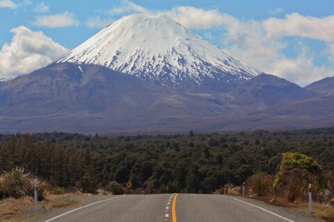
Mount Ngauruhoe comes into view on State Highway 47 in Tongariro National Park. The volcano is part of the...
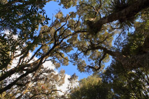
Looking up at the canopy of a forest on the lower flanks of Mount Ruapehu. These are predominately mountain...
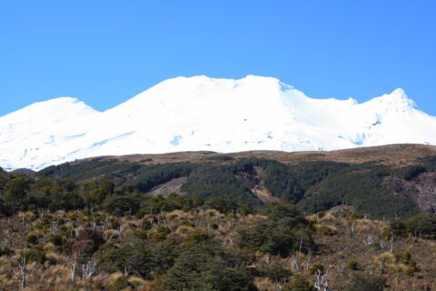
The snow capped peak of Mount Ruapehu can be seen clearly above areas of forest, tussock, and ancient lava...
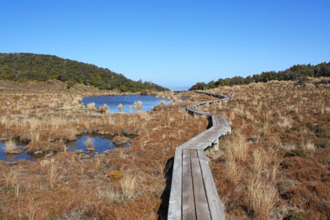
The boardwalk over a wetland area containing tarns which are small mountain lakes. The walkway protects the fragile natural...
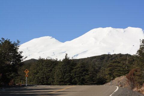
Driving up Ohakune Mountain Road with the snow capped peak of Ruapehu in view. The road starts near the...
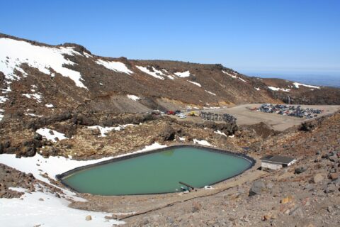
View of Turoa Ski Field Car Park behind a small lake on the side of Mount Ruapehu. During winter,...
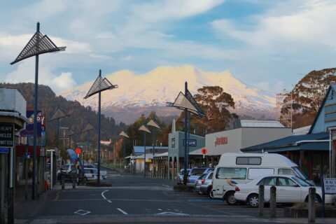
In view is the small town of Ohakune with Mount Ruapehu in the background. Ohakune is a great base...

Recent Comments