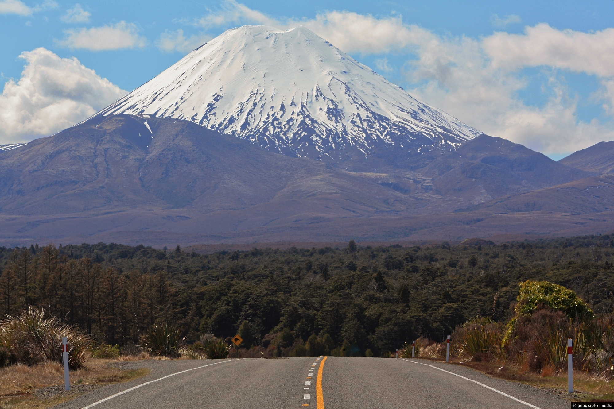
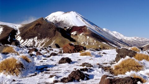
Mount Ngauruhoe comes into view on State Highway 47 in Tongariro National Park. The volcano is part of the Taupo Volcanic Zone and is
recognized by its near-perfect conical shape.

Mount Ngauruhoe comes into view on State Highway 47 in Tongariro National Park. The volcano is part of the Taupo Volcanic Zone and is
recognized by its near-perfect conical shape.
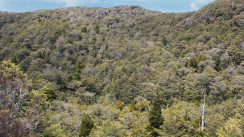
While much of the landscape around Mount Ruapehu consists of low scrub and tussock, there are also some tracts...
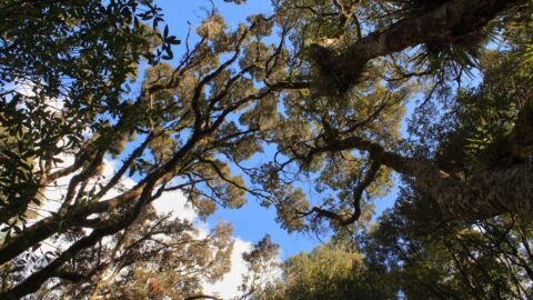
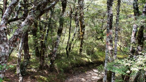
Looking up at the canopy of a forest on the lower flanks of Mount Ruapehu. These are predominately mountain...
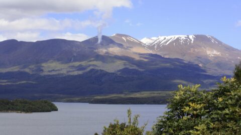
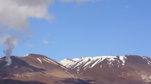
View of Lake Rotoaira with Mount Tongariro in the background. In view is plume of white hot steam erupting...
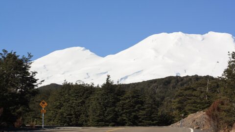
Driving up Ohakune Mountain Road with the snow capped peak of Ruapehu in view. The road starts near the...
Below Mount Ruapehu and on the lower flanks are areas of native forest. There are a number of trails...
The Tongariro Crossing is an alpine walk located in the center of New Zealand’s North Island. It is often...
A plume of white hot steam escapes out of Te Maari Crater on Mount Tongariro. Tongariro is the third...
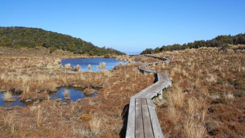
The boardwalk over a wetland area containing tarns which are small mountain lakes. The walkway protects the fragile natural...
