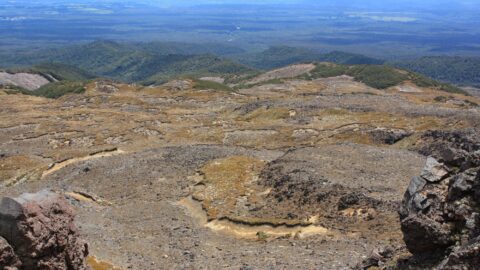
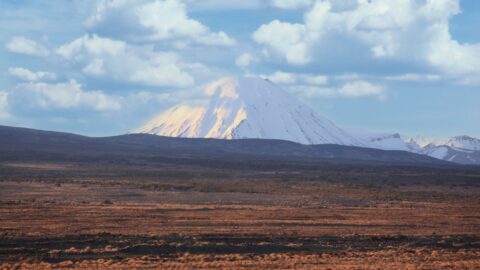
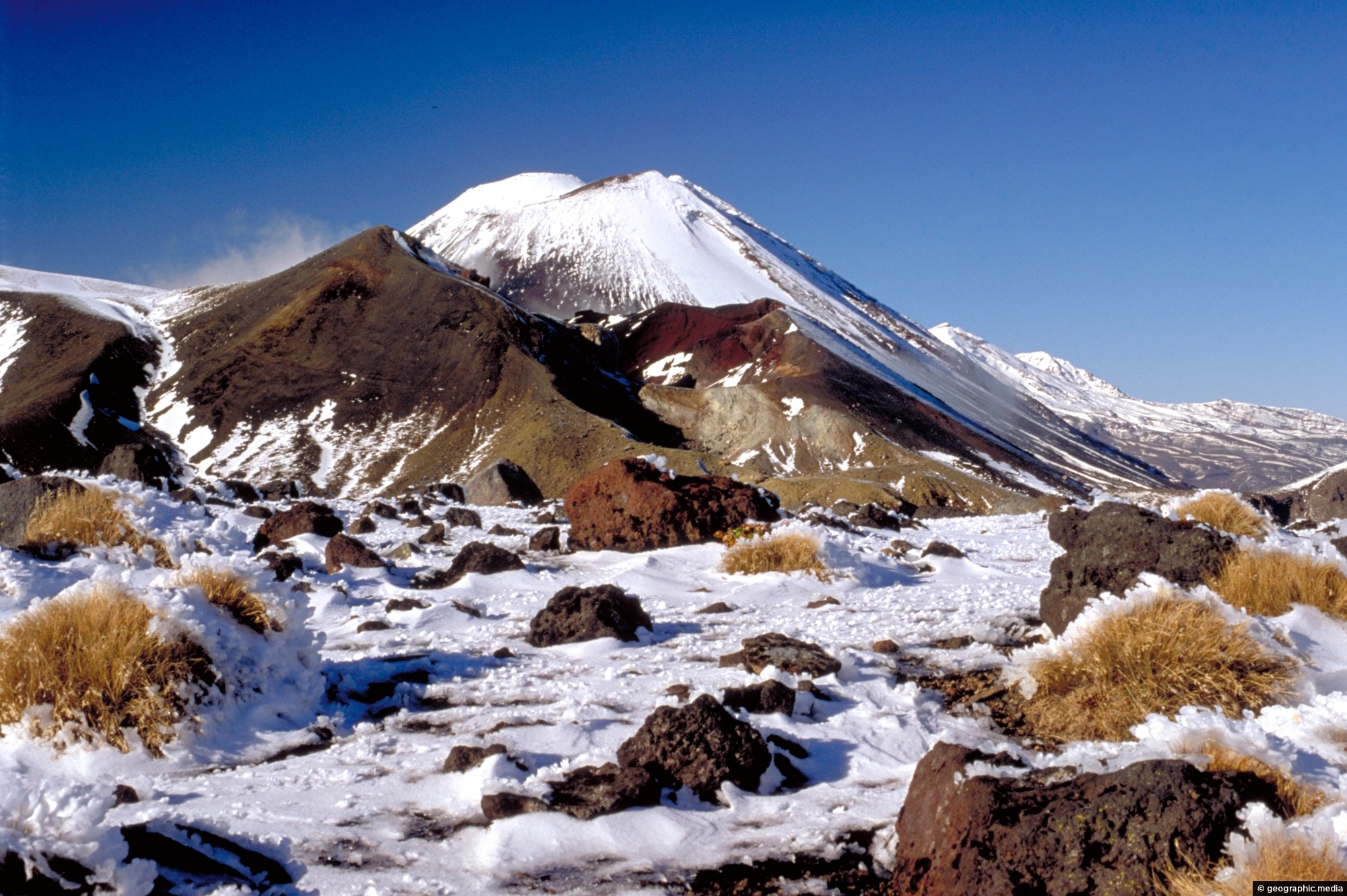
The Tongariro Crossing is an alpine walk located in the center of New Zealand’s North Island. It is often considered one of the Top 10 one day walks in the world by the likes of National Geographic. While it is a hard walk, it takes in a variety of scenery. Starting at the foot of Mt Ngauruhoe or Mt Tongariro (depending from which side you start the walk) the landscape changes from tussock plains, to volcanic rock, and temperate rain forest. A large part of the walk gives the impression that you are walking on another planet with red and black volcanic rocks scattered around and a number of colorful craters with some emitting steam. The dominating landmark is Mt Ngauruhoe which featured as Mt Doom in Peter Jackson’s ‘Lord of the Rings’.
Tongariro Crossing
Page Views
This post has been viewed 3,210 times
Related Articles
-
Ohakune isite Visitor Information Centre
Tongariro National Park photos, Buildings, Landscape / Horizontal
The Ohakune isite Visitor Information Centre specialize in local insights and advice for travelers exploring the Ruapehu region. They...
-
Turoa Ski Field Car Park
Tongariro National Park photos, Landscape / Horizontal, Mountains, Volcanic
View of Turoa Ski Field Car Park behind a small lake on the side of Mount Ruapehu. During winter,...
-
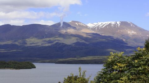
Lake Rotoaira & Mt Tongariro
Tongariro National Park photos, Lakes, Landscape / Horizontal, Mountains, Snow, Volcanic
View of Lake Rotoaira with Mount Tongariro in the background. In view is plume of white hot steam erupting...
-
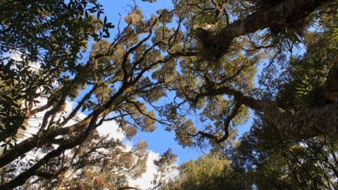
Ruapehu Forest Canopy
Tongariro National Park photos, Forests, Landscape / Horizontal, Plants
Looking up at the canopy of a forest on the lower flanks of Mount Ruapehu. These are predominately mountain...
-
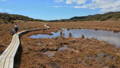
Boardwalk & Tarns
Tongariro National Park photos, Lakes, Landscape / Horizontal, Mountains, Snow, Volcanic, Wetlands
The boardwalk over a wetland area containing tarns which are small mountain lakes. The walkway protects the fragile natural...
-
Mangawhero Falls Walk
Tongariro National Park photos, Landscape / Horizontal, Mountains, Snow, Volcanic, Wetlands
This section of the Mangawhero Falls Walk uses a boardwalk in order to navigate an area of tarns. Tarns...
-
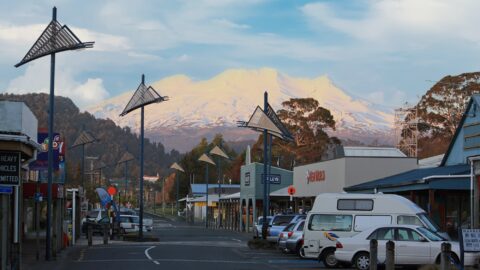
Ohakune & Ruapehu
Tongariro National Park photos, Cars, Landscape / Horizontal, Mountains, Roads, Shops, Snow, Volcanic
In view is the small town of Ohakune with Mount Ruapehu in the background. Ohakune is a great base...
-
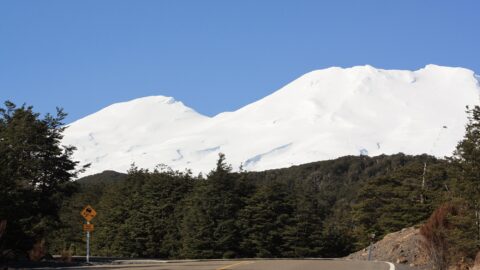
Ruapehu Peak View
Tongariro National Park photos, Landscape / Horizontal, Mountains, Roads, Snow, Volcanic
The snow capped peak of Mount Ruapehu can be seen clearly above areas of forest, tussock, and ancient lava...
Popular Posts
- Awakening New Zealand video (100)
- Iguazu Falls as seen from Brazil (87)
- Metrocable Medellin (78)
- Pauatahanui Inlet (69)
- Spinnaker Hill View (69)
- Spinnaker Hill in Whitby Porirua (69)
- View from Whitby (68)
- The Devil’s Throat (63)
- Aerial View of Iguazu Falls (61)
- Porirua Harbour & Papakowhai (58)
- Lake Wakatipu (57)
- Salto Rivadavia & Iguassu River (56)
- Salto Rivadavia Misiones Province (54)
- Close up of Salto Rivadavia (54)
- Cascadas at Iguazu (54)
- Lake Tekapo & Lupins (54)
Subjects
AccommodationAnimalsArchitectureBeachesBirdsBoatsBridgesBuildingsCarsChurchesCitiesCoralCultureExtra Wide HorizontalFlowersForestsHarborsHomesIslandsLakesLandscape / HorizontalMapsMenMonumentsMountainsPalmsParksPeoplePlantsPortrait / VerticalRiversRoadsRuralSeaShopsSkyscrapersSnowSunsetsTownsTrailsTransportTreesVideosVolcanicWaterfalls
Recent Comments
- DavidJ on The True Size of Australia
- Anonymous on The True Size of Australia
- Lance on Concrete Hut Wainuiomata
- Tony on Concrete Hut Wainuiomata
- DavidJ on Wellington Night Skyline


This image was used by Television New Zealand as a backdrop during the weather on the 6 oclock news, (when there was snow in the forecast).
This image was also used in a calendar for Forest and Bird alongside photos from photographer Andres Apse and other well known New Zealand photographers.