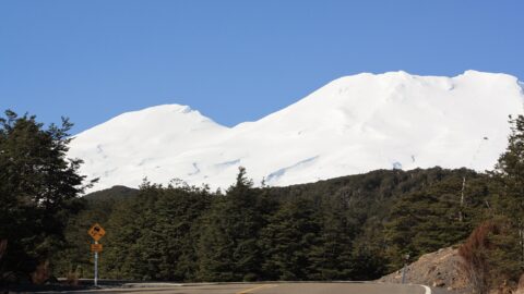
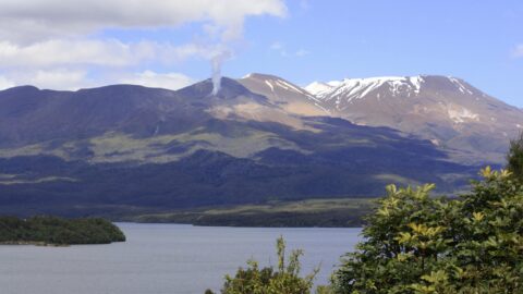
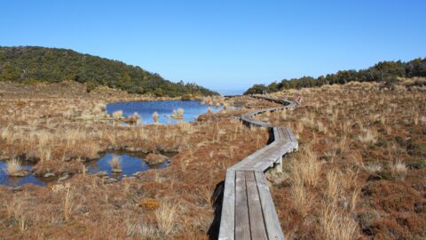
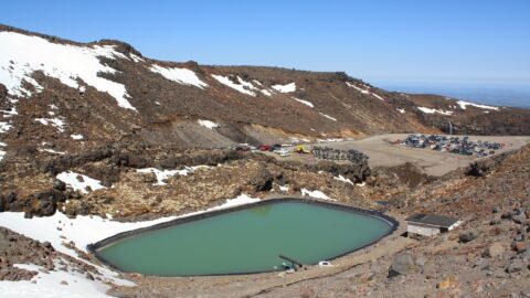
Looking at a swamp covered in toetoe in Tongariro National Park. Toetoe, also known as Cortaderia toetoe, is a type of native tussock grass. It’s characterized by its long, feathery plumes that can reach heights of up to 3 meters (9.8 feet) or more. The plumes are often used in traditional Māori weaving and crafts.
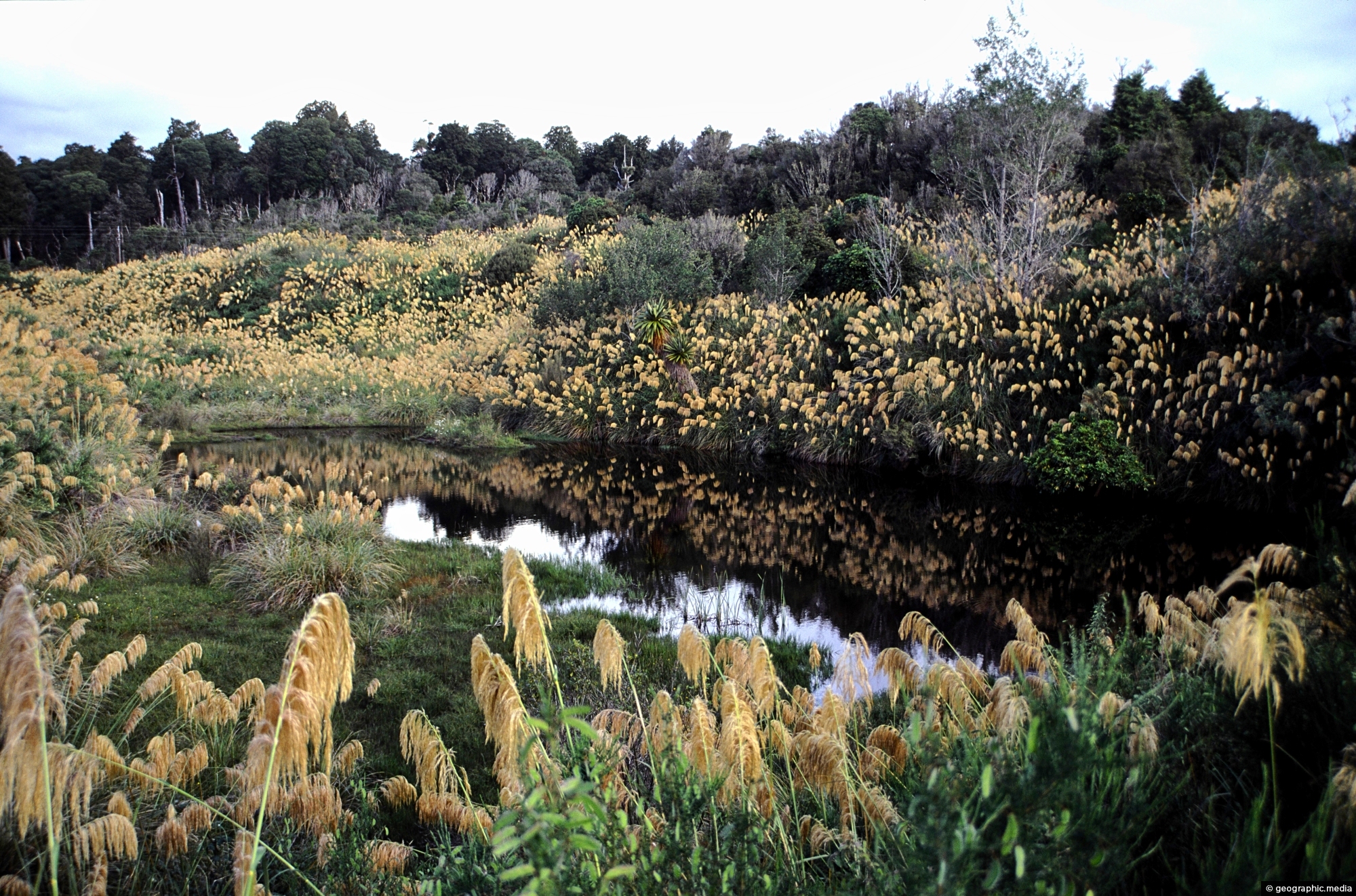
Toetoe
Page Views
This post has been viewed 606 times
Related Articles
-
Forest Walk on Ruapehu
Tongariro National Park photos, Forests, Landscape / Horizontal, Plants
Below Mount Ruapehu and on the lower flanks are areas of native forest. There are a number of trails...
-
Ruapehu Peak View
Tongariro National Park photos, Landscape / Horizontal, Mountains, Roads, Snow, Volcanic
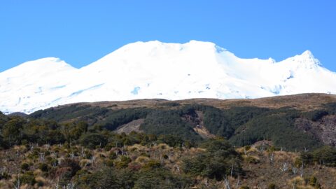
The snow capped peak of Mount Ruapehu can be seen clearly above areas of forest, tussock, and ancient lava...
-
Ohakune & Ruapehu
Tongariro National Park photos, Cars, Landscape / Horizontal, Mountains, Roads, Shops, Snow, Volcanic
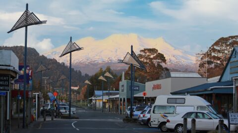
In view is the small town of Ohakune with Mount Ruapehu in the background. Ohakune is a great base...
-
Ruapehu Forest Canopy
Tongariro National Park photos, Forests, Landscape / Horizontal, Plants
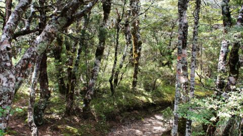
Looking up at the canopy of a forest on the lower flanks of Mount Ruapehu. These are predominately mountain...
-
Mount Ngauruhoe View
Tongariro National Park photos, Landscape / Horizontal, Mountains, Snow, Volcanic
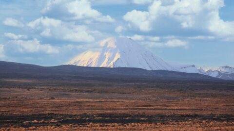
View of Mount Ngauruhoe and surrounding tussock hills in New Zealand’s Tongariro National Park. The volcano is an almost...
-
Ohakune Mountain Road View
Tongariro National Park photos, Landscape / Horizontal, Mountains, Roads, Snow, Volcanic
Driving up Ohakune Mountain Road with the snow capped peak of Ruapehu in view. The road starts near the...
-
Ohakune isite Visitor Information Centre
Tongariro National Park photos, Buildings, Landscape / Horizontal
The Ohakune isite Visitor Information Centre specialize in local insights and advice for travelers exploring the Ruapehu region. They...
-
Ruapehu Lava Field
Tongariro National Park photos, Landscape / Horizontal, Mountains, Volcanic
View of a lava field on the southern slopes of Mount Ruapehu. Created by an eruption where lava flowed...
0 Comments
Popular Posts
- Awakening New Zealand video (100)
- Iguazu Falls as seen from Brazil (87)
- Metrocable Medellin (78)
- Pauatahanui Inlet (69)
- Spinnaker Hill View (69)
- Spinnaker Hill in Whitby Porirua (69)
- View from Whitby (68)
- The Devil’s Throat (63)
- Aerial View of Iguazu Falls (61)
- Porirua Harbour & Papakowhai (58)
- Lake Wakatipu (57)
- Salto Rivadavia & Iguassu River (56)
- Salto Rivadavia Misiones Province (54)
- Close up of Salto Rivadavia (54)
- Cascadas at Iguazu (54)
- Lake Tekapo & Lupins (54)
Subjects
AccommodationAnimalsArchitectureBeachesBirdsBoatsBridgesBuildingsCarsChurchesCitiesCoralCultureExtra Wide HorizontalFlowersForestsHarborsHomesIslandsLakesLandscape / HorizontalMapsMenMonumentsMountainsPalmsParksPeoplePlantsPortrait / VerticalRiversRoadsRuralSeaShopsSkyscrapersSnowSunsetsTownsTrailsTransportTreesVideosVolcanicWaterfalls
Recent Comments
- DavidJ on The True Size of Australia
- Anonymous on The True Size of Australia
- Lance on Concrete Hut Wainuiomata
- Tony on Concrete Hut Wainuiomata
- DavidJ on Wellington Night Skyline