
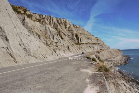
A weathered limestone cliff along the Palliser Bay Road in Wairarapa offers a picturesque view. This coastal route leads...
New Zealand Photos
About Places Share
About
My New Zealand photographic collection covers both the North and South islands. The subjects are remarkably varied, ranging from major cities such as Auckland, Wellington and Christchurch to small towns, mountains, coastlines, rivers and distinctive geological features. The collection also includes native flora and wildlife, people, sport and Māori culture. The images date from the 1960s which include some photos my dat took, to span several decades from the 1908s through to the present day.
As I live in New Zealand, I have made far too many journeys to describe individually. Over the years, I have travelled extensively throughout both islands, photographing a wide range of places, landscapes and communities.
In the North Island, I have explored and photographed Northland, Auckland, the Coromandel, Waikato, Rotorua, Gisborne, Māhia, Napier, Taranaki, Wairarapa and the Wellington region.
My travels in the South Island have included Picton, Nelson, the West Coast, Wānaka, Queenstown and Fiordland. I also visited Christchurch shortly after the earthquakes, having previously lived there for a year in 1987.
Other destinations have included Oamaru and Timaru, although Dunedin and Stewart Island remain places I have yet to visit.
More recently, I have been venturing off the established tracks and bush bashing through the wild areas around Wainuiomata, east of Wellington. Photographs and accounts of these expeditions can be viewed at wainuiomata.net.
I also have a collection of older New Zealand photographs on Virtual New Zealand, my first website, which I created in 1994.
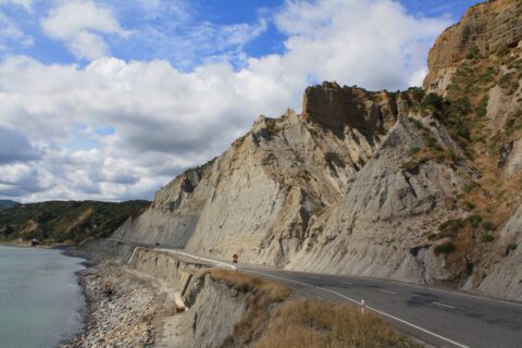
Whatarangi Bluff is a notable geological feature located in the Wairarapa region of New Zealand. This eroded limestone cliff...
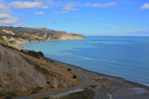
View of Palliser Bay from the road that traverses Otakaha Stream below. This coastal area is the location for...
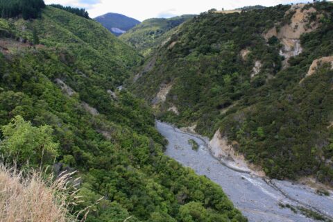
The Otakaha Stream flows through Aorangi Forest Park, close to the township of Ngawi. Cape Palliser Road hasa bridge...
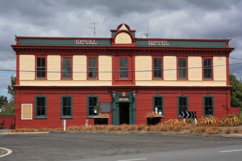
The Royal Hotel, situated at 22 Revans Street in Featherston, is a historic establishment nestled in the Wairarapa region....
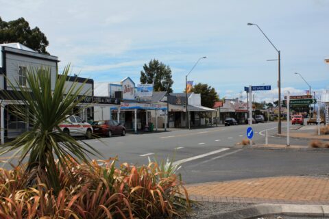
View of Featherston in the Wairarapa district. The town is a medium sized rural settlement meeting the needs of...
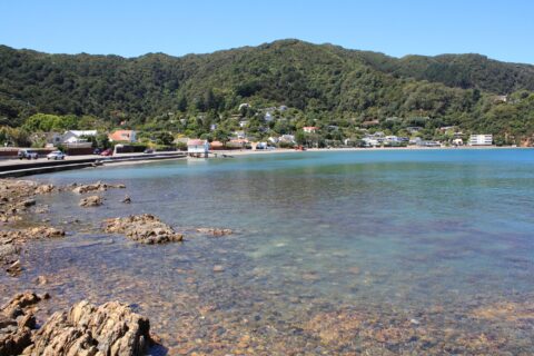
View of the beach at Days Bay a popular family beach in Eastbourne, Lower Hutt. Across the road from...
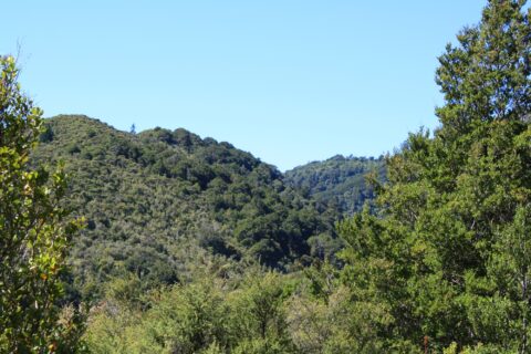
Looking at the Remutaka Forest Park near the entrance on the Coast Road in Wainuiomata. The park contains numerous...
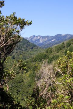
From within Remutaka Forest Park, one can view Clay Ridge, which can be accessed via a trail that commences...
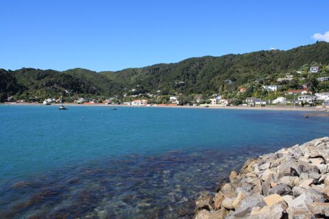
Lowry Bay in Eastbourne is is a desirable place to live. Homes here get coastal views of Wellington Harbour...
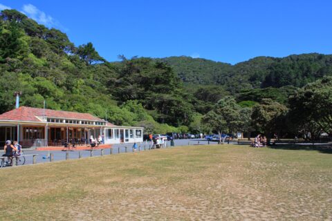
View of Williams Park in Days Bay, Eastbourne. Located in the city of Lower Hutt, Days Bay is a...
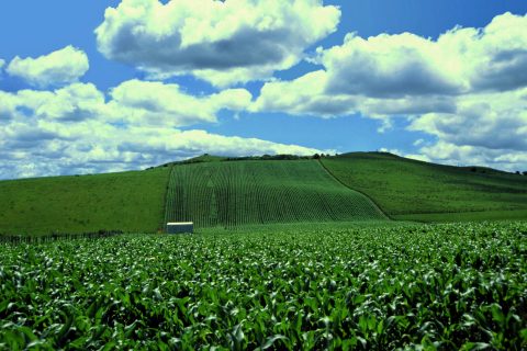
A corn field in rural New Zealand. New Zealand’s rural economy is strong due to favourable weather conditions for...

Recent Comments