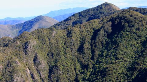
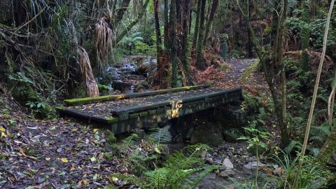
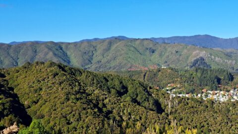
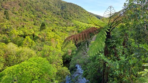
From within Remutaka Forest Park, one can view Clay Ridge, which can be accessed via a trail that commences at Clay Forks where Five Mile Loop Track and Middle Ridge Track meet. The trail ascends Clay Ridge, culminating at the peak of Mt McKerrow, standing at 706 meters tall.
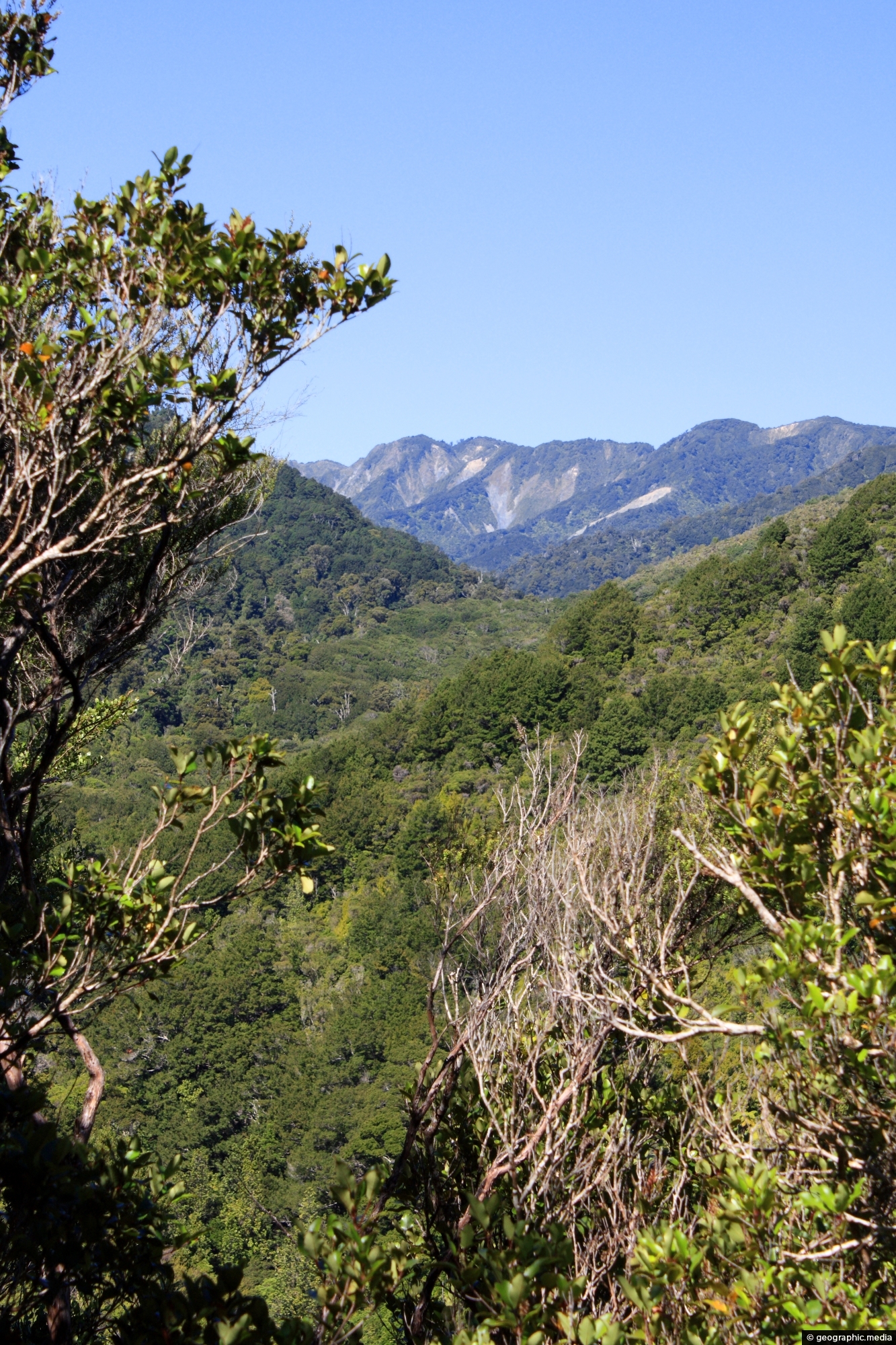
ALL / Explore Oceania / Explore New Zealand / New Zealand Photos / Remutaka Forest Park photos / Clay Ridge and Remutaka Forest
All original royalty-free photos, shareable maps, and informative articles.
Clay Ridge and Remutaka Forest
Page Views
This post has been viewed 762 times
Related Articles
-
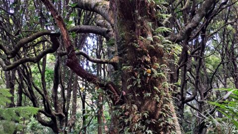
Double Trunk Tree
Remutaka Forest Park photos, Forests, Portrait / Vertical, Trails
Unusual double trunk tree located in Catchpool Valley in the Remutaka Forest Park, Wainuiomata.
-
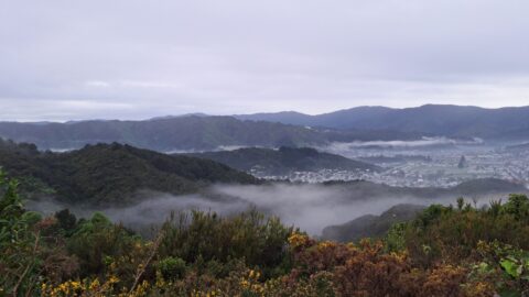
Mist over the Wainuiomata Basin
Remutaka Forest Park photos, Extra Wide Horizontal, Mountains
Mist over the Wainuiomata Basin and surrounding hills. Photo taken from the western hills between Wainuiomata and the rest...
-
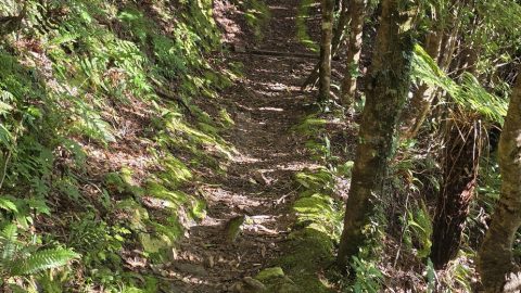
Whakanui Track Above a Gully
Remutaka Forest Park photos, Portrait / Vertical, Tracks
This section of the Whakanui Track follows a steep hillside, with openings that offer stunning views of the gully...
-
Mount Climie
Remutaka Forest Park photos, Landscape / Horizontal, Mountains
Mount Climie is a peak located in the Rimutaka Range on the southern end of the North Island of...
-
Whakanui Track Bridge
Remutaka Forest Park photos, Extra Wide Horizontal, Mountains
A bridge at the beginning of the Whakanui Track crossing Skerretts Creek. From here the track rises up to...
-
Forest on the Five Mile Track
Remutaka Forest Park photos, Forests, Portrait / Vertical, Trees
The Five Mile Track within the Remutaka Forest Park, more specifically in Catchpool Valley, is an easy walk that...
-
Wainuiomata Hills & Remutaka
Remutaka Forest Park photos, Extra Wide Horizontal, Mountains
Gazing at the hills of Wainuiomata, with the Remutaka Range serving as a scenic backdrop. Wainuiomata is divided from...
-
View of the Wainuiomata River
Remutaka Forest Park photos, Forests, Landscape / Horizontal, Mountains, Rivers
Wainuiomata River is just visible here when looking down onto the canopy of this tract of forest in the...
0 Comments
Popular Posts
- Awakening New Zealand video (100)
- Iguazu Falls as seen from Brazil (87)
- Metrocable Medellin (78)
- Pauatahanui Inlet (69)
- Spinnaker Hill View (69)
- Spinnaker Hill in Whitby Porirua (69)
- View from Whitby (68)
- The Devil’s Throat (63)
- Aerial View of Iguazu Falls (61)
- Porirua Harbour & Papakowhai (58)
- Lake Wakatipu (57)
- Salto Rivadavia & Iguassu River (56)
- Salto Rivadavia Misiones Province (54)
- Close up of Salto Rivadavia (54)
- Cascadas at Iguazu (54)
- Lake Tekapo & Lupins (54)
Subjects
AccommodationAnimalsArchitectureBeachesBirdsBoatsBridgesBuildingsCarsChurchesCitiesCoralCultureExtra Wide HorizontalFlowersForestsHarborsHomesIslandsLakesLandscape / HorizontalMapsMenMonumentsMountainsPalmsParksPeoplePlantsPortrait / VerticalRiversRoadsRuralSeaShopsSkyscrapersSnowSunsetsTownsTrailsTransportTreesVideosVolcanicWaterfalls
Recent Comments
- DavidJ on The True Size of Australia
- Anonymous on The True Size of Australia
- Lance on Concrete Hut Wainuiomata
- Tony on Concrete Hut Wainuiomata
- DavidJ on Wellington Night Skyline