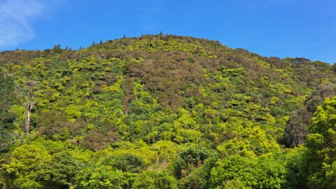
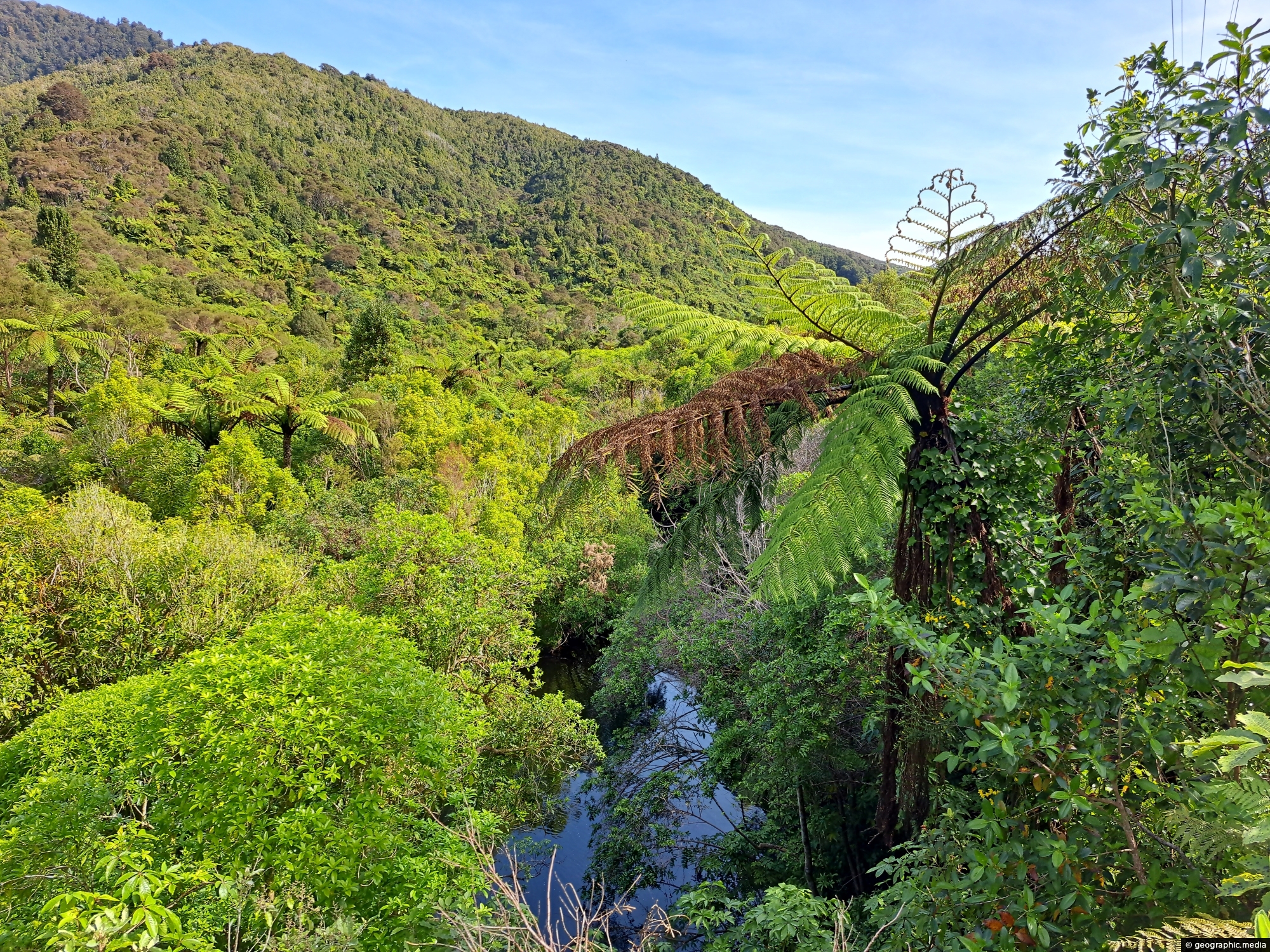
Wainuiomata River is just visible here when looking down onto the canopy of this tract of forest in the Remutaka range.
Click image for fullscreen.

Wainuiomata River is just visible here when looking down onto the canopy of this tract of forest in the Remutaka range.
Looking at the foothills of the Remutaka Range in the Wellington region. In view is a mixture of native...
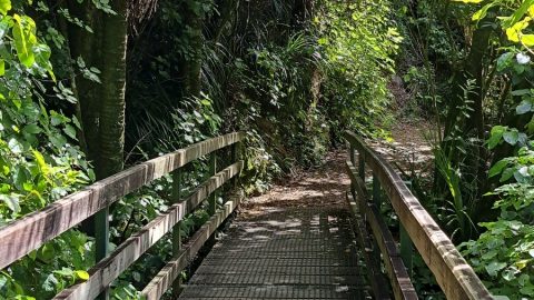
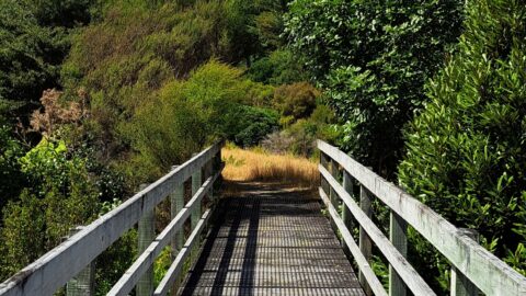
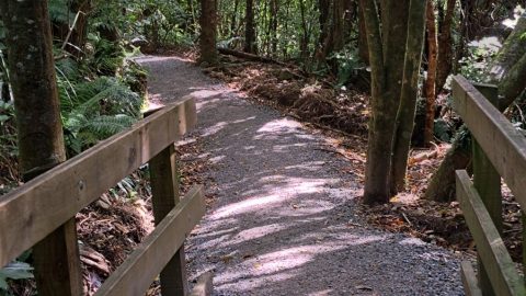
There are numerous bridges on the Orongorongo Track that traverse small streams that run down hills and empty into...
Lush forest covers the hills around Skerretts Creek in Wainuiomata. The slopes here are part of the Remutaka Mountains...
Walking trails in the Remutaka Forest Park contain numerous walking bridges to get you across creeks that flow through...
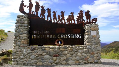
In honor of the soldiers who left for World War I from the Featherston Military Camp, a unique commemorative...
View of the Orongorongo Track and one of many foot bridges that allow you to cross smaller streams within...
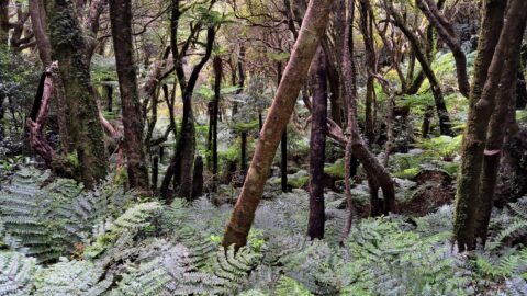
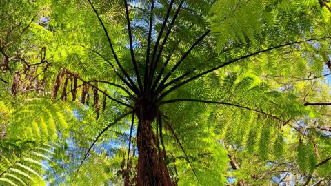
Sections of Remutaka Forest Park contain large fern trees, including black ferns and silver ferns with small fern plants...
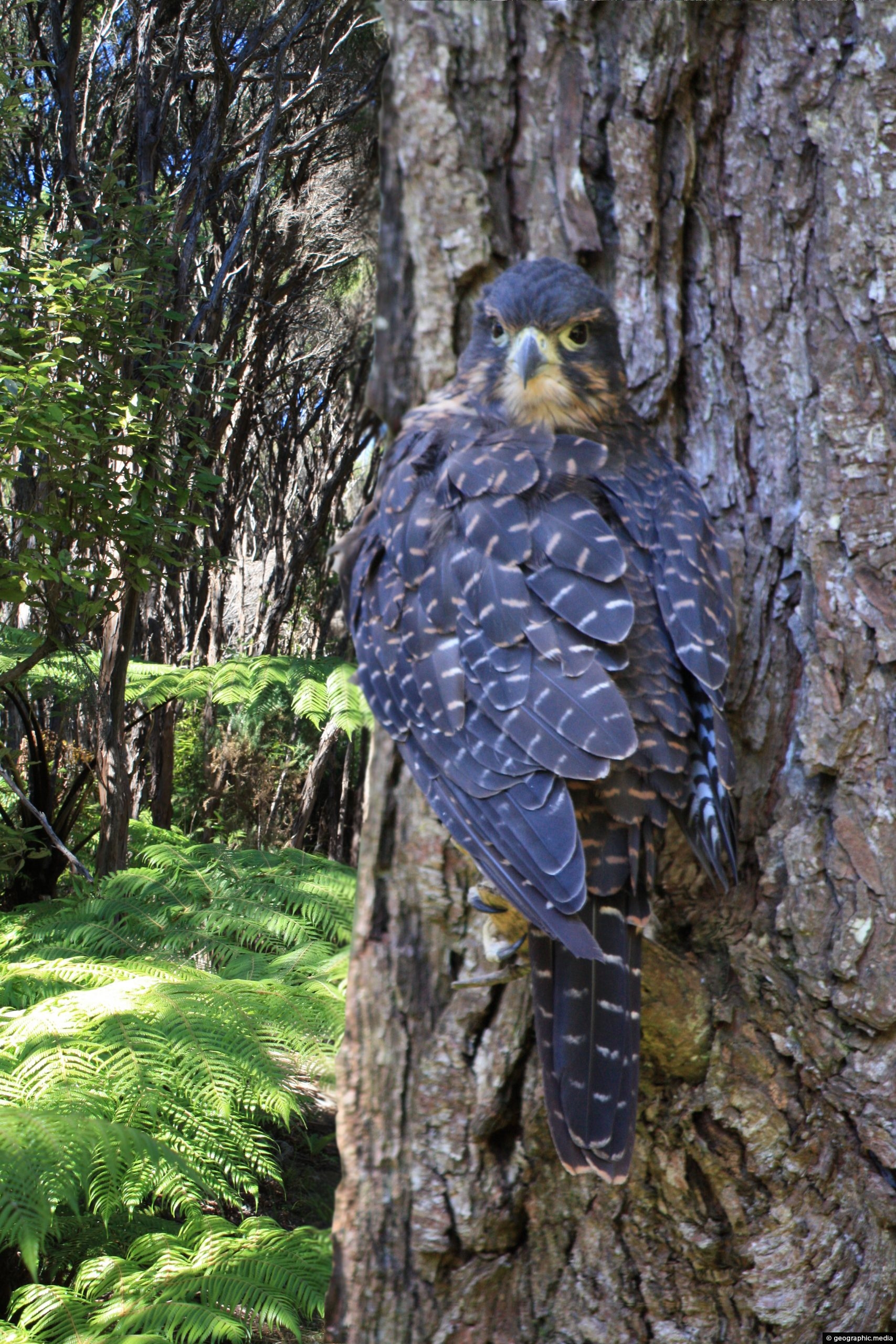
The New Zealand Falcon (Kārearea) is the only living bird of prey endemic to New Zealand. It exists south...