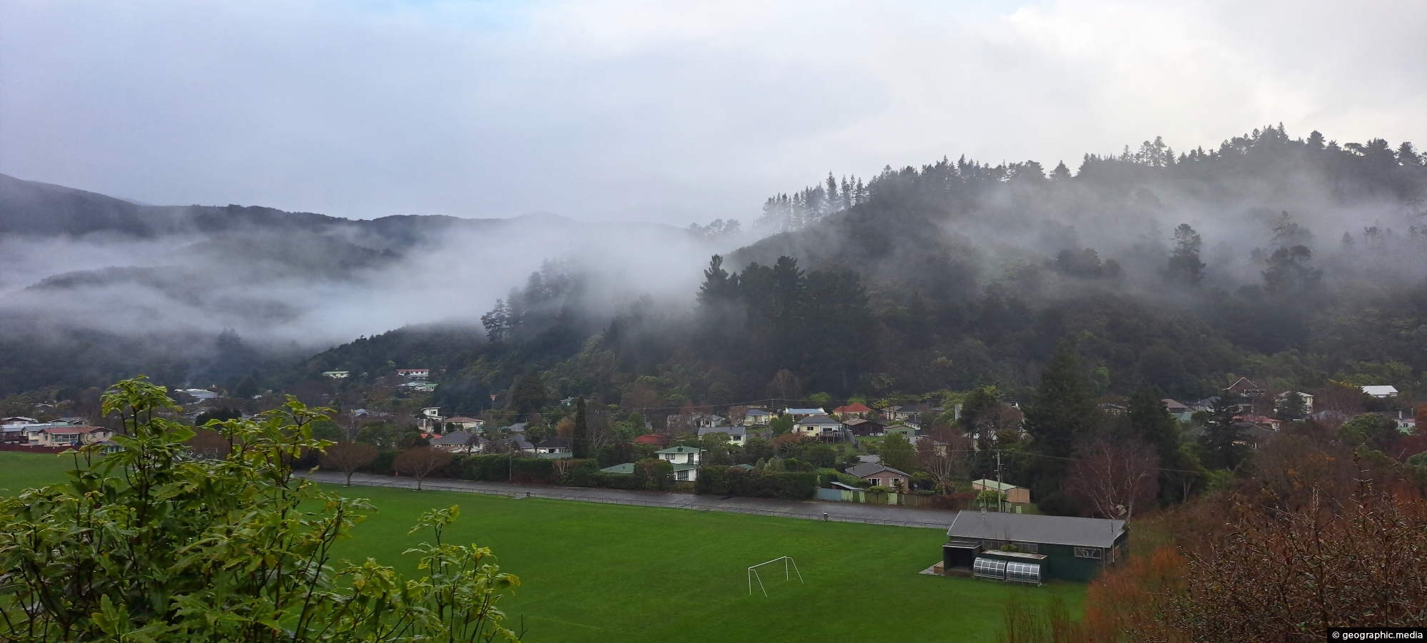
Looking at Richard Prouse Park in Wainuiomata with a misty Harry Todd Reserve in the background hills behind Hine Road.
Click Jigshare icon to turn the image into a jigsaw. Or click on photo to download or view full screen image.

Looking at Richard Prouse Park in Wainuiomata with a misty Harry Todd Reserve in the background hills behind Hine Road.
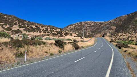
Looking at the southern end of the Coast Road in Wainuiomata as you head to the south coast. It’s...
This building was constructed in 1964. It was part of the Wainuiomata Waterworks that supplied Wellington city with water....
Pukeatua Bridge in Wainuiomata crosses Wainuiomata Road at its highest point, 189 meters above sea level. This places the...
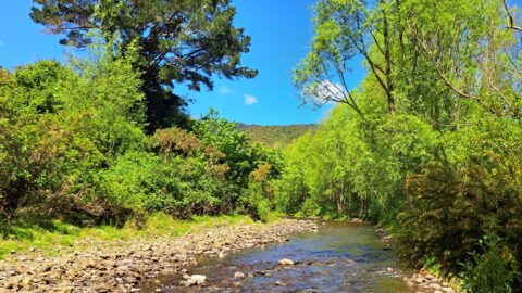
The section of the Wainuiomata River meanders along the edge of Richard Prouse Park, offering several nearby swimming spots.
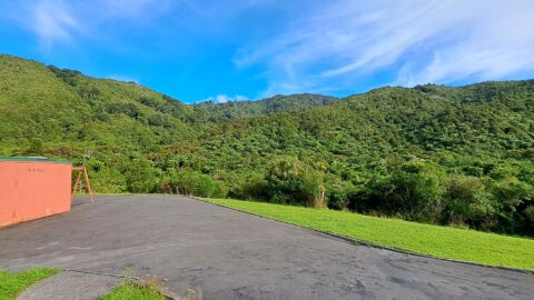
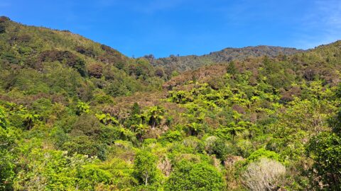
Looking at a forested foothill in the Remutaka Range. The Lower Hutt suburb of Wainuiomata is set below these...
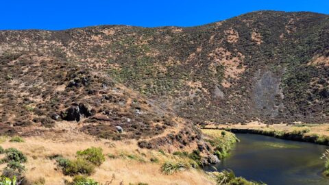
View of the Wainuiomata River as seen from the Coast Road in Wainuiomata. The surrounding landscape here is parched...
Looking down over the valley where Wainuiomata lies. Its unique geography often leads to misty winter mornings, with low-hanging...
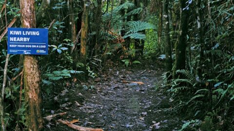
Sledge Track Creek in Wainuiomata is a habitat for kiwi, New Zealand’s national bird. These flightless and endangered birds...

