
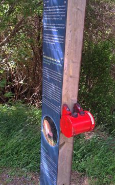
These types of information signs at the beginning of the Orongorongo Track focus on a particular native bird species....
New Zealand Photos
About Places Share
About
Our photos of New Zealand include both the North and South islands. Subjects are as varied as cities like Auckland, Wellington, and Christchurch. We also have photos of towns, mountains, coastline, rivers, geological features, plant life, animals, people, sport, and Maori culture. Our images date back to the 1960s and span decades to the present day.
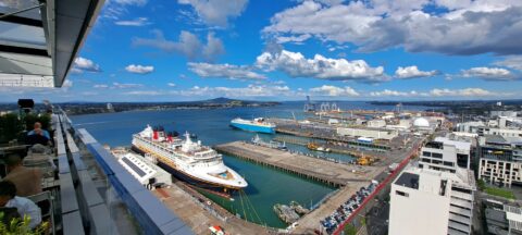
View of Ports of Auckland and the Waitematā Harbour, with a cruise ship in the scene and Rangitoto Island...
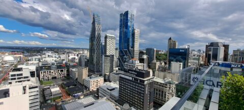
The eastern end of Auckland’s central business district is a hub for business and education, home to corporate offices,...

Wynyard Quarter is a waterfront precinct in Auckland, located on the city’s Waitematā Harbour. Once an industrial area dominated...
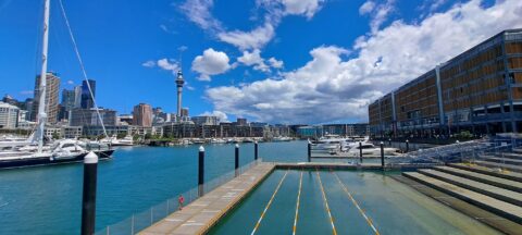
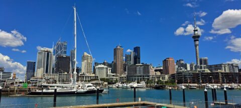
Auckland skyline as seen from Wynyard Crossing, a pedestrian and cyclist bridge connecting Viaduct Harbour to Wynyard Quarter.
Blue sky over Auckland Harbour and skyline with the sky tower to the right as seen from the Wynyard...
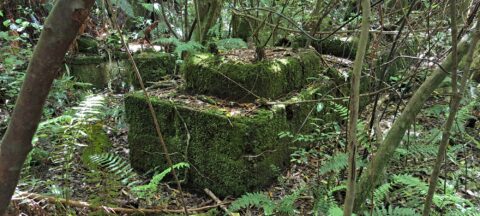
These remnants are believed to be part of a power generator that was used during the construction of the...
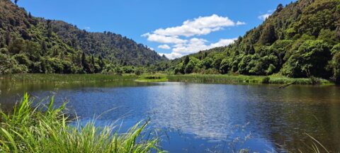
The Wainuiomata Waterworks Wetlands are part of the Wainuiomata Regional Park, which encompasses lowland native forests and adjoins the...
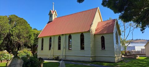
Christ Church (Anglican) in Taita, Lower Hutt, is the oldest surviving church in the Wellington Region and one of...
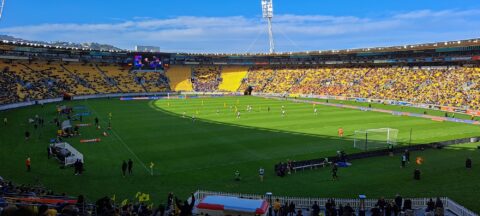
Sky Stadium, located in Wellington, New Zealand, is a prominent multi-purpose venue renowned for hosting a diverse range of...
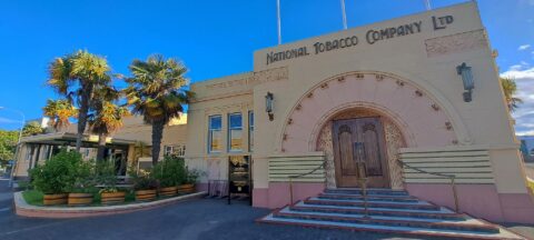
The National Tobacco Company Building in Napier is one of New Zealand’s finest examples of Art Deco architecture, combined...
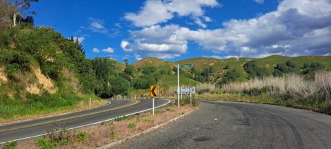
Mount Erin Lookout, located along Waimarama Road near Havelock North in Hawke’s Bay, offers stunning vistas of the surrounding...

Recent Comments