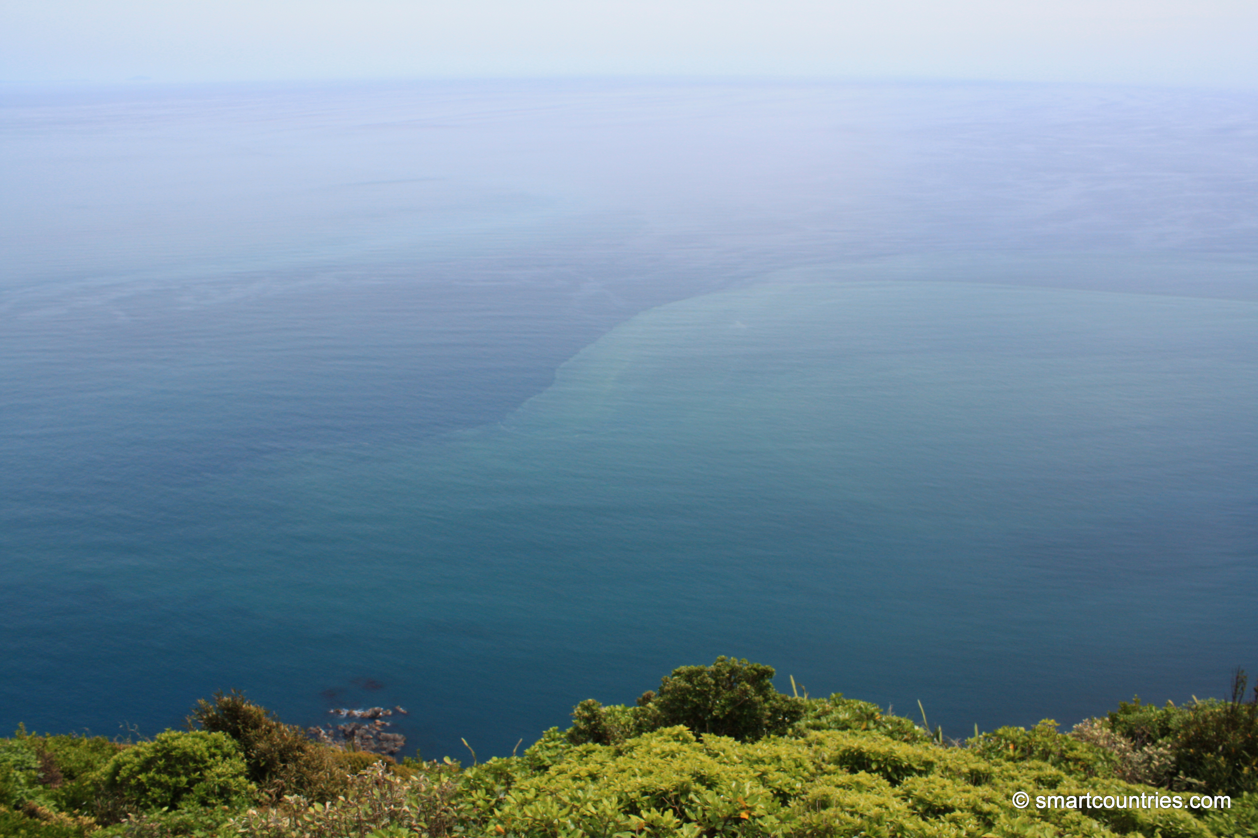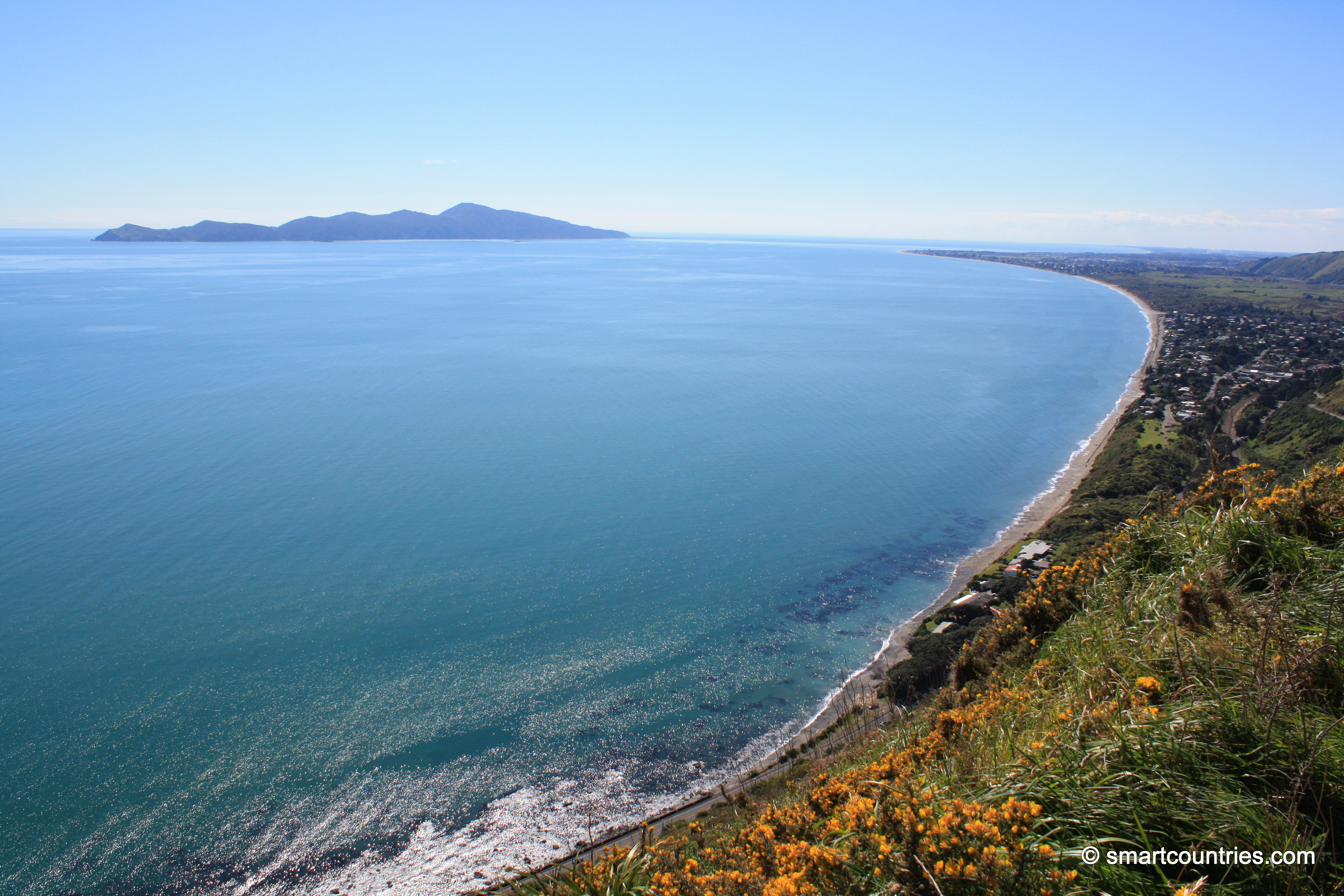
Western view from the highest peak on Kapiti Island looking out toward the Tasman Sea. The Tasman is the...
New Zealand Photos
About
My New Zealand photographic collection covers both the North and South islands. The subjects are remarkably varied, ranging from major cities such as Auckland, Wellington and Christchurch to small towns, mountains, coastlines, rivers and distinctive geological features. The collection also includes native flora and wildlife, people, sport and Māori culture. The images date from the 1960s which include some photos my dat took, to span several decades from the 1908s through to the present day.
As I live in New Zealand, I have made far too many journeys to describe individually. Over the years, I have travelled extensively throughout both islands, photographing a wide range of places, landscapes and communities.
In the North Island, I have explored and photographed Northland, Auckland, the Coromandel, Waikato, Rotorua, Gisborne, Māhia, Napier, Taranaki, Wairarapa and the Wellington region.
My travels in the South Island have included Picton, Nelson, the West Coast, Wānaka, Queenstown and Fiordland. I also visited Christchurch shortly after the earthquakes, having previously lived there for a year in 1987.
Other destinations have included Oamaru and Timaru, although Dunedin and Stewart Island remain places I have yet to visit.
More recently, I have been venturing off the established tracks and bush bashing through the wild areas around Wainuiomata, east of Wellington. Photographs and accounts of these expeditions can be viewed at wainuiomata.net.
I also have a collection of older New Zealand photographs on Virtual New Zealand, my first website, which I created in 1994.
Locations
- Abel Tasman photos
- Akatarawa Forest photos
- Auckland photos
- Blenheim photos
- Canterbury photos
- Castlepoint photos
- Central Otago photos
- Christchurch photos
- Coromandel photos
- Fiordland photos
- Fox Glacier photos
- Franz Josef Glacier photos
- Hawkes Bay photos
- Kaitoke photos
- Kapiti Coast photos
- Kapiti Island photos
- Lake Tekapo photos
- Lower Hutt photos
- Mana Island photos
- Manawatu Photos
- Marlborough Sounds photos
- Mount Bruce photos
- Mt Cook photos
- Mt Ruapehu photos
- Mt Taranaki photos
- Napier photos
- Nelson photos
- Nikau Reserve photos
- Northland photos
- Pelorus Bridge Scenic Reserve
- Porirua photos
- Puketahā
- Putangirua Pinnacles photos
- Queenstown photos
- Remutaka Forest Park photos
- Rotorua photos
- Southern Alps photos
- Tararua Range photos
- Tasman Bay photos
- Taupo photos
- Te Mata Peak
- Titahi Bay Photos
- Tongariro National Park photos
- Upper Hutt photos
- Waimangu Valley photos
- Wainuiomata photos
- Wairarapa photos
- Wairoa photos
- Wellington photos
- Whanganui photos
Using our photos
The photos can be used without permission in school projects and websites so long as the photos are not altered in any way except resizing. Do not crop the photos and in particular do not remove the watermark in the bottom-right corner. You must give attribution if you use our photos.
For more information about using our photos, visit the About Us page.
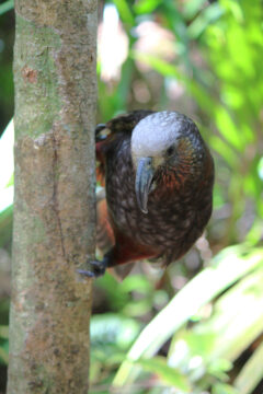
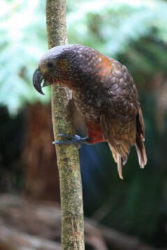
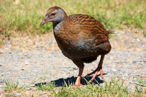
Photo of a Kaka clinging to a tree trunk on New Zealand’s Kapiti Island.
Kaka on Kapiti Island are not shy and often greet visitors to the island.
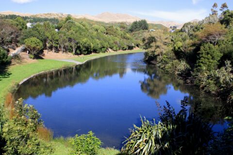
Cannons Creek Lake is located in a recreational area in the suburb of Cannons Creek in Porirua. It boasts...
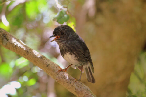
View of a North Island Robin located on Kapiti Island. Robins are a protected endemic bird mostly located in...
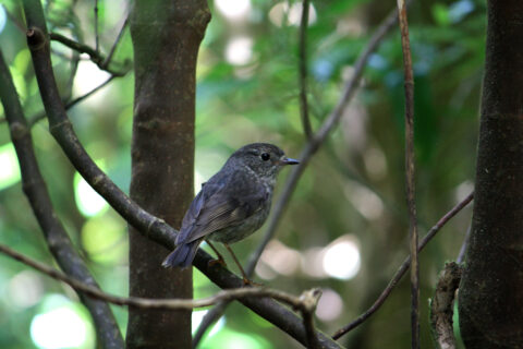
View of a wild Robin on Kapiti Island. Kapiti Island is a bird sanctuary for endangered New Zealand birds.
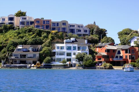
Looking at coastal homes perched on the coast on Seaview Road in Paremata. Picture taken from Pauatahanui Inlet.
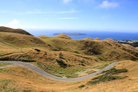
The view from Colonial Knob in Porirua reveals rolling summer pastures, with Mana Island and the expansive Tasman Sea...
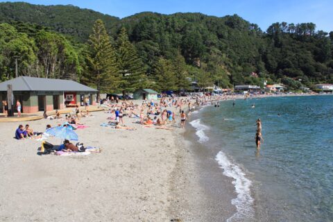
Beach at Days Bay
Lower Hutt photos, Beaches, Forests, Landscape / Horizontal, Mountains, Sea, ShopsSummertime at Days Bay Beach in Eastbourne. The beach is located on the eastern shoreline of Wellington Harbour with...
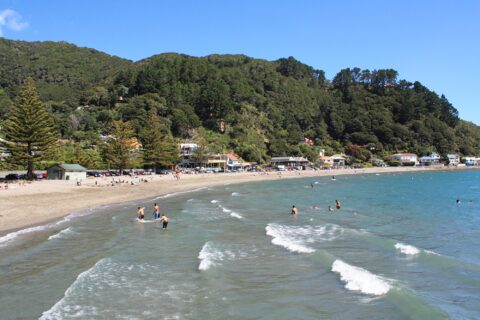
Days Bay Beach & Cafes
Lower Hutt photos, Beaches, Forests, Landscape / Horizontal, Mountains, Sea, ShopsLooking at the beach at Days Bay with cafes and shops in view. Days Bay is a popular destination...
View of Days Bay with rocks, beach, and forested hills in view. Days Bay is a beautiful coastal area...
View of the entrance to Queen Charlotte Sound from the Cook Strait, the body of water that separates the...
Related
- Abel Tasman photos
- Akatarawa Forest photos
- Auckland photos
- Blenheim photos
- Canterbury photos
- Castlepoint photos
- Central Otago photos
- Christchurch photos
- Coromandel photos
- Fiordland photos
- Fox Glacier photos
- Franz Josef Glacier photos
- Hawkes Bay photos
- Kaitoke photos
- Kapiti Coast photos
- Kapiti Island photos
- Lake Tekapo photos
- Lower Hutt photos
- Mana Island photos
- Manawatu Photos
- Marlborough Sounds photos
- Mount Bruce photos
- Mt Cook photos
- Mt Ruapehu photos
- Mt Taranaki photos
- Napier photos
- Nelson photos
- Nikau Reserve photos
- Northland photos
- Pelorus Bridge Scenic Reserve
- Porirua photos
- Puketahā
- Putangirua Pinnacles photos
- Queenstown photos
- Remutaka Forest Park photos
- Rotorua photos
- Southern Alps photos
- Tararua Range photos
- Tasman Bay photos
- Taupo photos
- Te Mata Peak
- Titahi Bay Photos
- Tongariro National Park photos
- Upper Hutt photos
- Waimangu Valley photos
- Wainuiomata photos
- Wairarapa photos
- Wairoa photos
- Wellington photos
- Whanganui photos
Popular Posts
- Awakening New Zealand video (100)
- Iguazu Falls as seen from Brazil (87)
- Metrocable Medellin (78)
- Pauatahanui Inlet (69)
- Spinnaker Hill View (69)
- Spinnaker Hill in Whitby Porirua (69)
- View from Whitby (68)
- The Devil’s Throat (63)
- Aerial View of Iguazu Falls (61)
- Porirua Harbour & Papakowhai (58)
- Lake Wakatipu (57)
- Salto Rivadavia & Iguassu River (56)
- Salto Rivadavia Misiones Province (54)
- Close up of Salto Rivadavia (54)
- Cascadas at Iguazu (54)
- Lake Tekapo & Lupins (54)


Recent Comments