
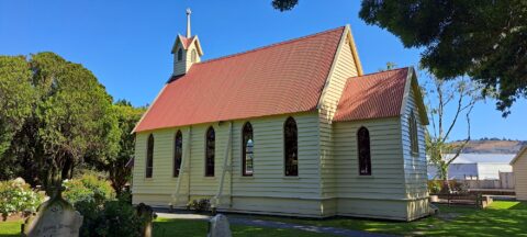
Christ Church (Anglican) in Taita, Lower Hutt, is the oldest surviving church in the Wellington Region and one of...
New Zealand Photos
About Places Share
About
My New Zealand photographic collection covers both the North and South islands. The subjects are remarkably varied, ranging from major cities such as Auckland, Wellington and Christchurch to small towns, mountains, coastlines, rivers and distinctive geological features. The collection also includes native flora and wildlife, people, sport and Māori culture. The images date from the 1960s which include some photos my dat took, to span several decades from the 1908s through to the present day.
As I live in New Zealand, I have made far too many journeys to describe individually. Over the years, I have travelled extensively throughout both islands, photographing a wide range of places, landscapes and communities.
In the North Island, I have explored and photographed Northland, Auckland, the Coromandel, Waikato, Rotorua, Gisborne, Māhia, Napier, Taranaki, Wairarapa and the Wellington region.
My travels in the South Island have included Picton, Nelson, the West Coast, Wānaka, Queenstown and Fiordland. I also visited Christchurch shortly after the earthquakes, having previously lived there for a year in 1987.
Other destinations have included Oamaru and Timaru, although Dunedin and Stewart Island remain places I have yet to visit.
More recently, I have been venturing off the established tracks and bush bashing through the wild areas around Wainuiomata, east of Wellington. Photographs and accounts of these expeditions can be viewed at wainuiomata.net.
I also have a collection of older New Zealand photographs on Virtual New Zealand, my first website, which I created in 1994.

Sky Stadium, located in Wellington, New Zealand, is a prominent multi-purpose venue renowned for hosting a diverse range of...
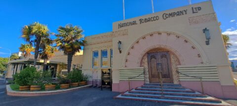
The National Tobacco Company Building in Napier is one of New Zealand’s finest examples of Art Deco architecture, combined...
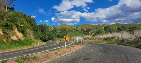
Mount Erin Lookout, located along Waimarama Road near Havelock North in Hawke’s Bay, offers stunning vistas of the surrounding...
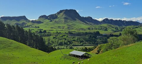
From the Mount Erin Lookout, located just outside Havelock North along Waimārama Road, you can enjoy spectacular views of...
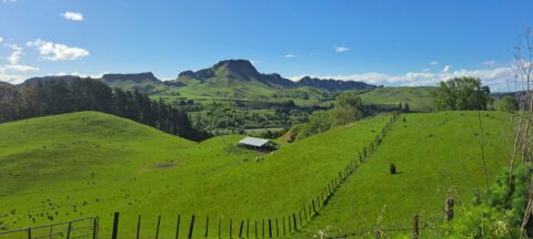
A view of lush farmland surrounds Te Mata Peak in Hawke’s Bay, New Zealand. Renowned for its fertile land,...
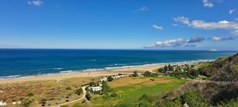
From high in the hills behind Ocean Beach, the view takes in the sweeping shoreline, sand dunes, farmland and...
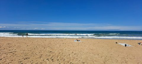
Ocean Beach view looking east onto the Pacific Ocean, where rolling surf and an uninterrupted horizon give Ocean Beach...
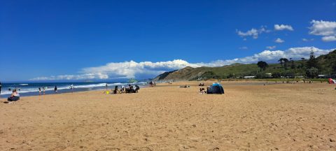
The view south follows the long, open shoreline towards Waimārama Beach, around 7.5 kilometres away, with the coast continuing...
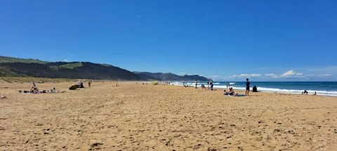
Looking north along Ocean Beach, the broad sweep of golden sand stretches towards Whakapau Bluff, with Cape Kidnappers lying...
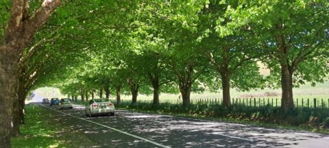
Waimarama Road and Te Mata Peak are closely connected as part of the stunning landscape of Hawke’s Bay, New...
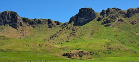
Te Mata Peak stands at 399 metres (1,309 feet), offering sweeping views of Hawke’s Bay. From its summit, visitors...

Recent Comments