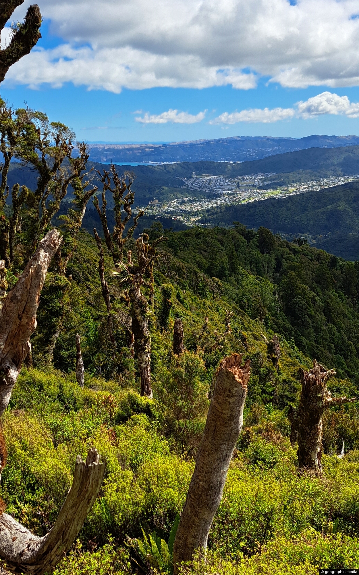
View of the Wainuiomata Valley as seen from the Remutaka Range, the last mountain range in the North Island.
Click Jigshare icon to turn the image into a jigsaw. Or click on photo to download or view full screen image.

View of the Wainuiomata Valley as seen from the Remutaka Range, the last mountain range in the North Island.
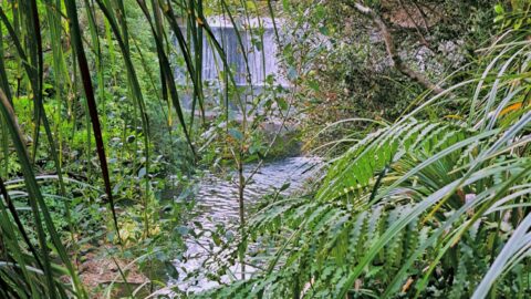
This view of Lower Dam requires a bush bash through a temperate rainforest on the southside of Wainuiomata River.
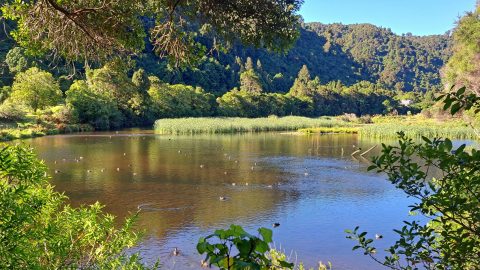
The Lower Dam Wetland is the shallow wetland area formed behind the historic Lower Dam in Wainuiomata Regional Park....
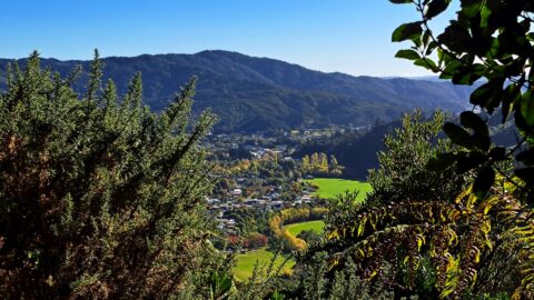
View from atop a hill in Wainuiomata Regional Park looking west at Homedale. You can see Hine Road Recreation...
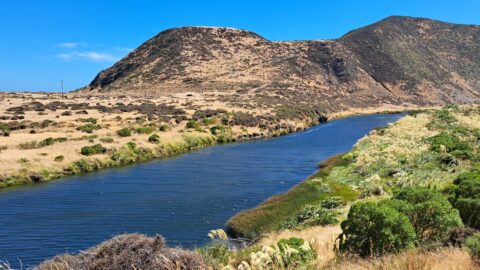
The Ōrongorongo River is a prominent waterway in the Wellington region of New Zealand, flowing from the Rimutaka Ranges...
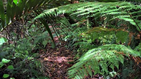
The Nikau Creek Track is a short 30 minute walk that takes you through the podocarp rainforest found in...
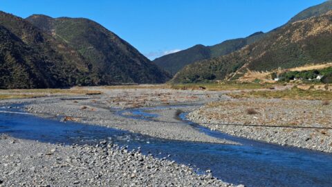
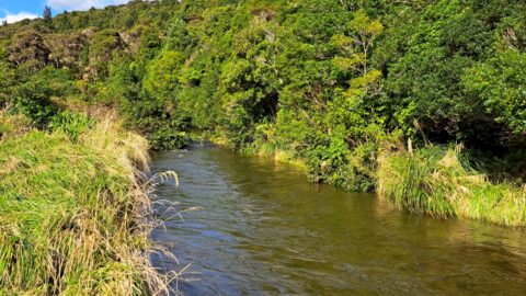
View of the lower reaches of Wainuiomata River in New Zealand’s Wellington Region. The upper reaches of this river...
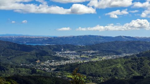
This bird’s-eye perspective of Wainuiomata illustrates how the suburb resides within its unique valley, distinct from the broader Hutt...
Looking at an almost inaccessible part of the Wainuiomata River. There are no tracks leading here, but you gain...
