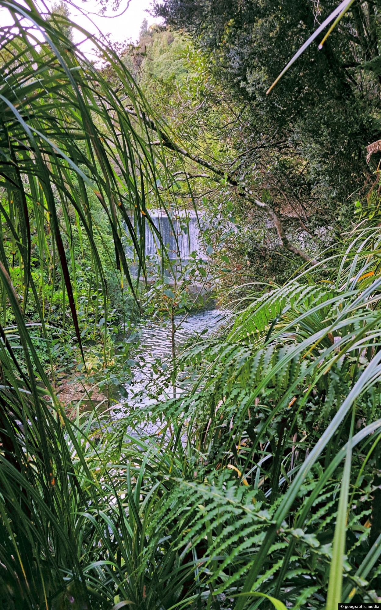
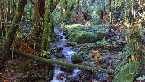
This view of Lower Dam requires a bush bash through a temperate rainforest on the southside of Wainuiomata River.
Click Jigshare icon to turn the image into a jigsaw. Or click on photo to download or view full screen image.

This view of Lower Dam requires a bush bash through a temperate rainforest on the southside of Wainuiomata River.
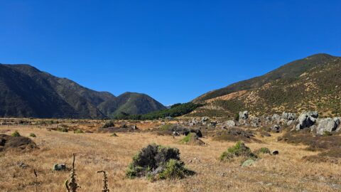
Looking towards the head of the Ōrongorongo Valley and into the Remutaka Range, as viewed from the coastal walk...
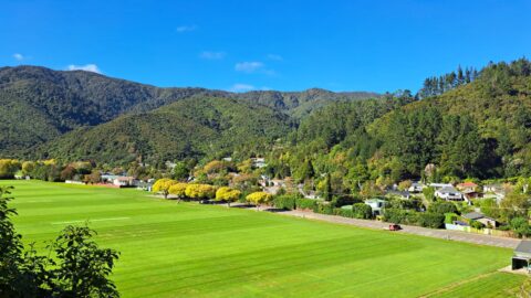
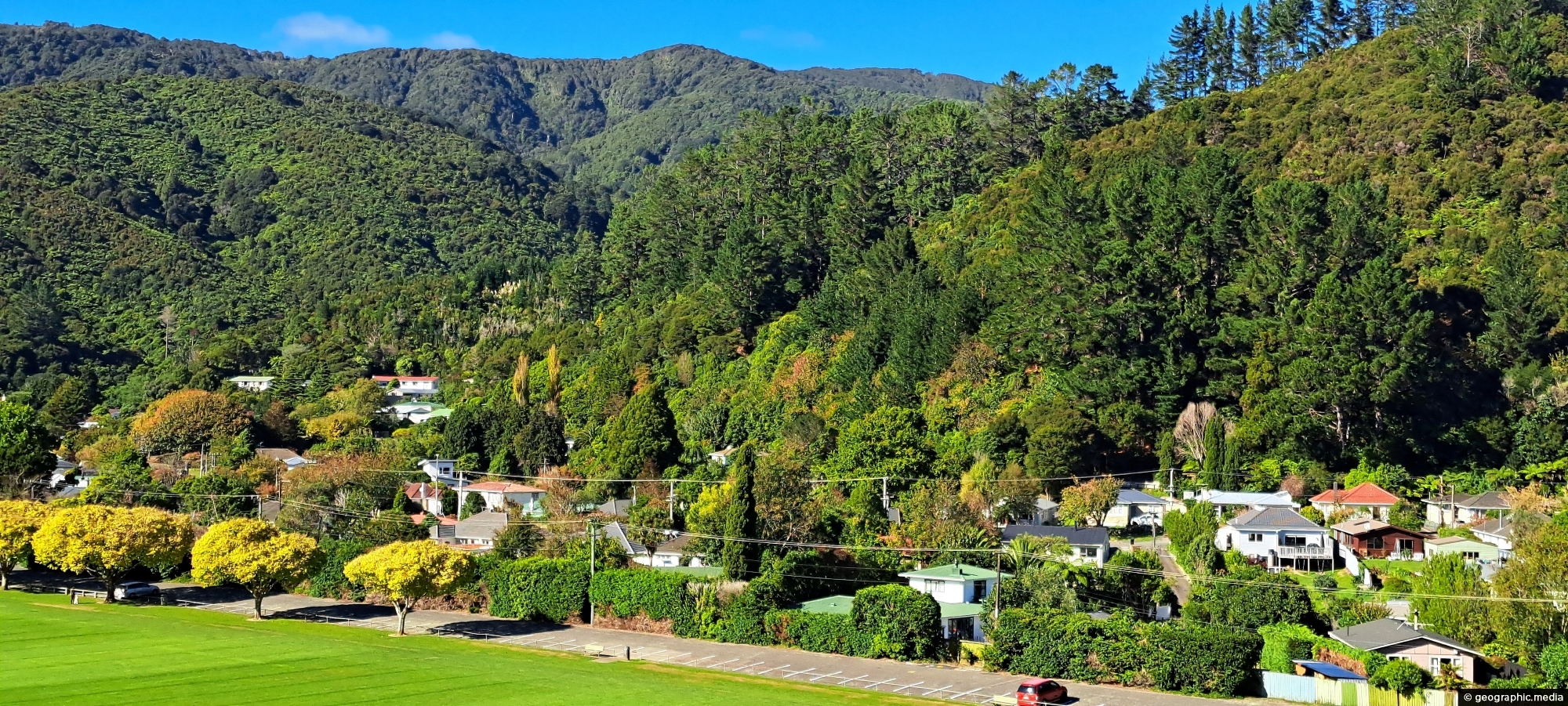
Overlooking Richard Prouse Park, with Harry Todd Recreation Reserve on the hillside to the right and Wainuiomata Regional Park...
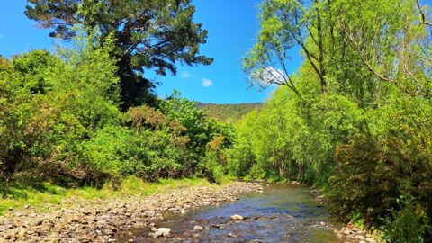
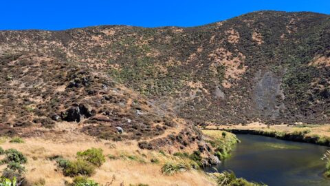
The section of the Wainuiomata River meanders along the edge of Richard Prouse Park, offering several nearby swimming spots.
The Sledge Track Creek in Wainuiomata offers a scenic view, winding through dense native bush with an old forestry...
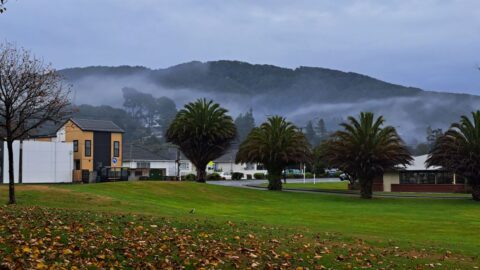
Observing Queen Street Reserve in the fall, you’ll find a charming oasis nestled in the heart of the Wainuiomata...
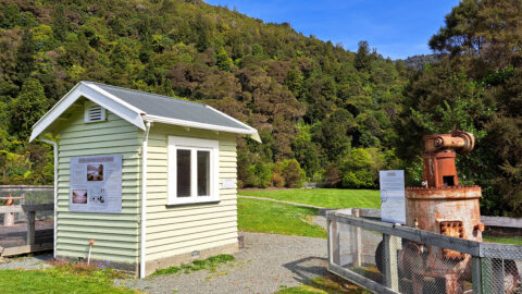
Looking at a shed that housed a machine that aided in supplying water to the Wellington region. Today this...
Hine Road in Wainuiomata, with Harry Todd Recreation Reserve visible in the background to the right. Behind it to...
View of the Wainuiomata River as seen from the Coast Road in Wainuiomata. The surrounding landscape here is parched...
