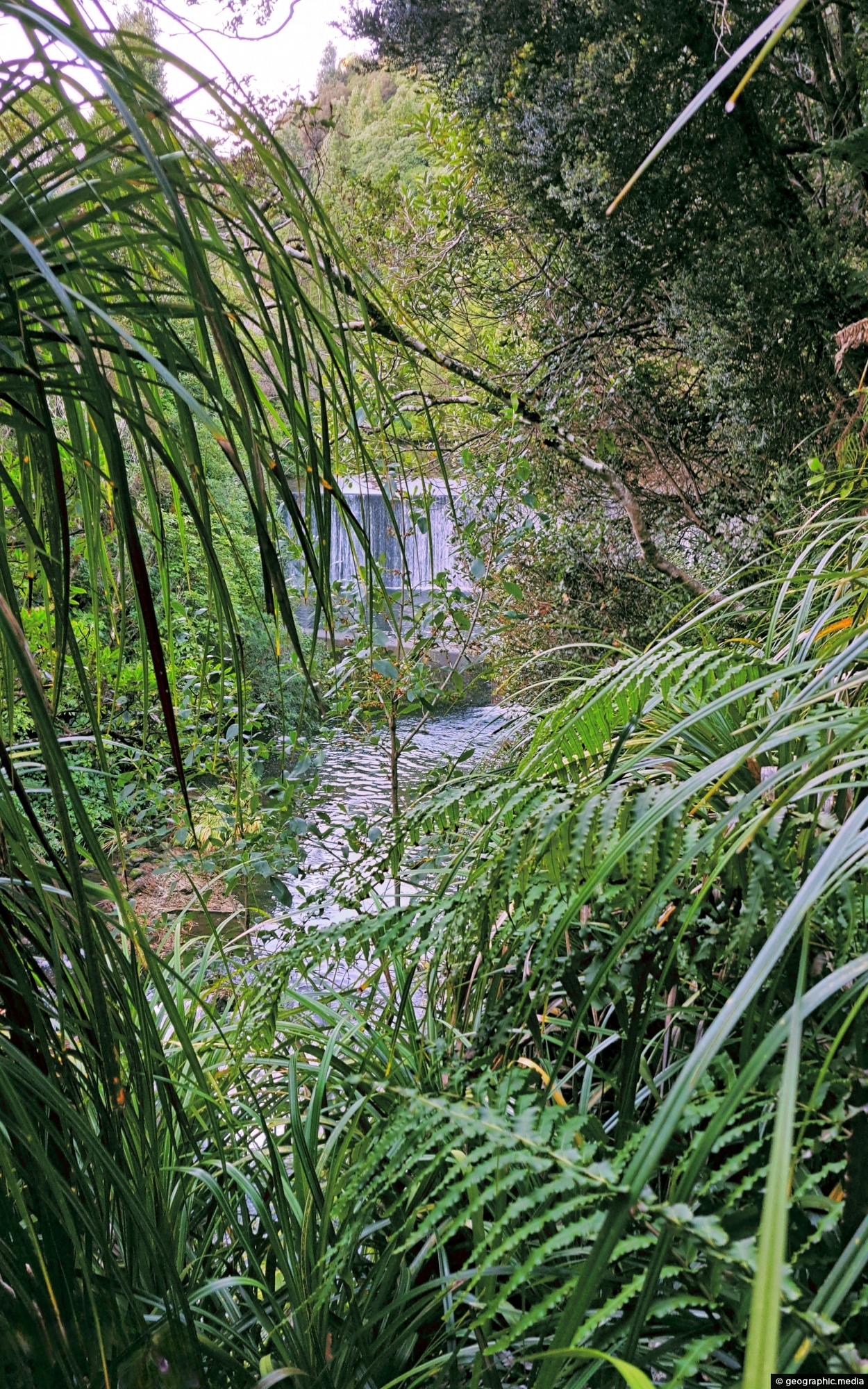
This view of Lower Dam requires a bush bash through a temperate rainforest on the southside of Wainuiomata River.
Click Jigshare icon to turn the image into a jigsaw. Or click on photo to download or view full screen image.

This view of Lower Dam requires a bush bash through a temperate rainforest on the southside of Wainuiomata River.
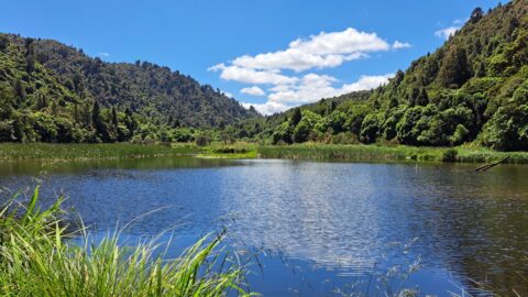
The Wainuiomata Waterworks Wetlands are part of the Wainuiomata Regional Park, which encompasses lowland native forests and adjoins the...
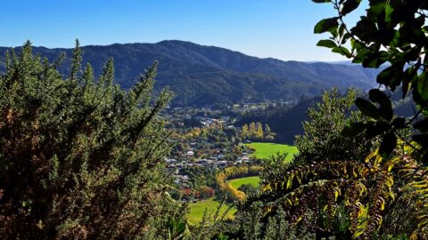
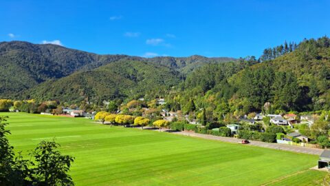
View from atop a hill in Wainuiomata Regional Park looking west at Homedale. You can see Hine Road Recreation...
The Richard Prouse Park Tunnel (once known as Colemans Tunnel) was constructed between 1881 and 1882. It is situated...
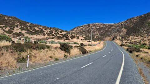
Looking at the southern end of the Coast Road in Wainuiomata as you head to the south coast. It’s...
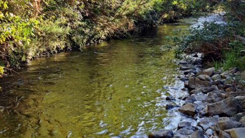
Looking at a section of the upper Wainuiomata River flowing along the base of the southern hillside in Reservoir...
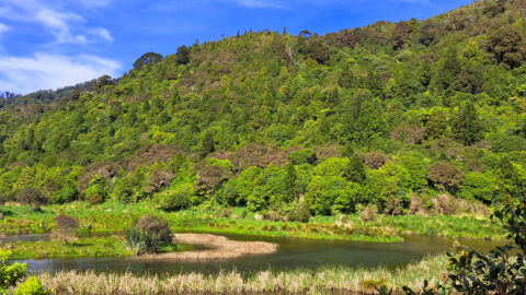
These wetlands were restored when the lower dam in Wainuiomata was decommissioned. The hill in the background is one...
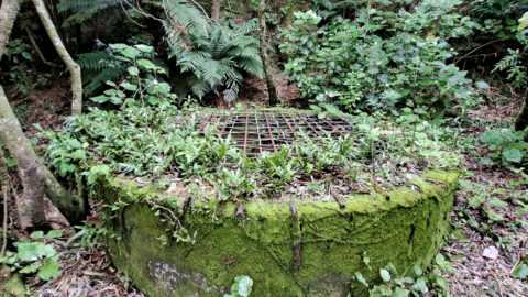
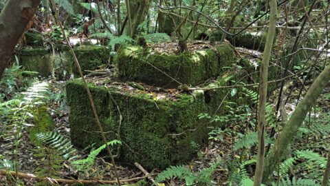
These remnants are believed to be part of a power generator that was used during the construction of the...
Overlooking Richard Prouse Park, with Harry Todd Recreation Reserve on the hillside to the right and Wainuiomata Regional Park...
