

View of a hillside barrio in the Colombian city of Bogota. Millions of people here cannot afford a home,...
Hillside Barrios in Bogota

These homes in Santo Domingo Savio in Medellin are more upmarket than most homes found here. Colorful paint gives...

The Plaza de Bolívar, also known as Bolívar Square, is a public square located in the historic center of...
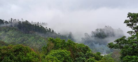
Looking the Harry Todd Recreation Area in Wainuiomata, with towering hills and mountains trapping clouds within the valleys.

A sign notifying walkers that they are entering the Turakirae Head Scientific Reserve. Situated on the southern coast of...
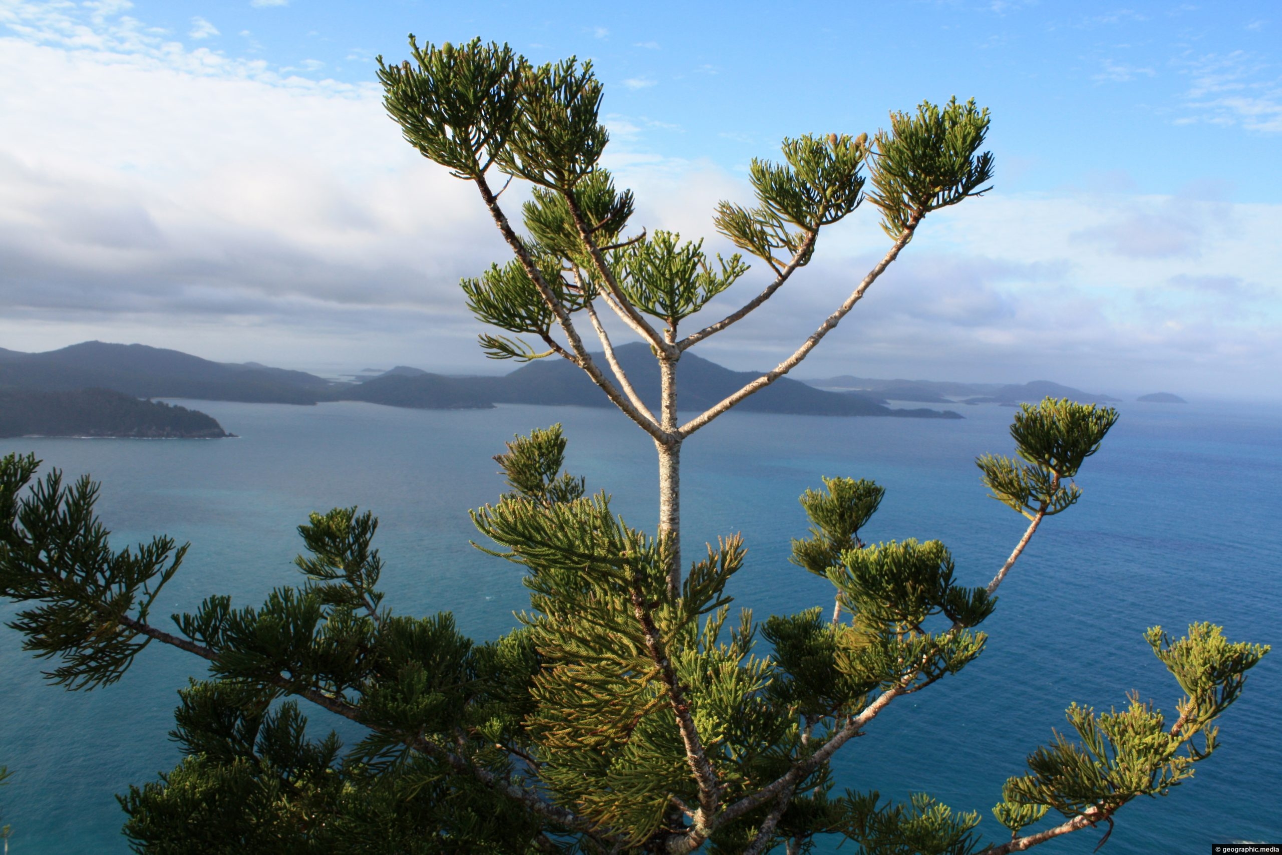
Hoop Pines are a native tree of Hamilton Island and other islands in the Whitsunday Islands. Its genus is...

Satellite images show the scale of the disastrous Tonga Eruption. The eruption of an underwater volcano sent shock waves...
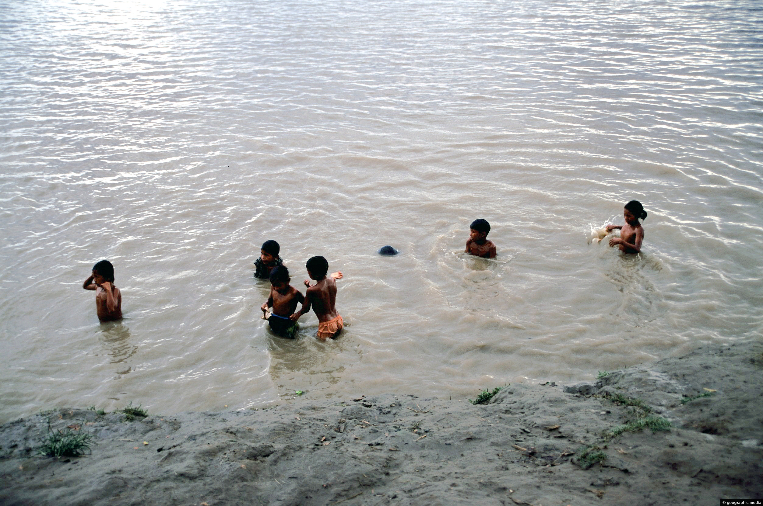
The Amazon River in Colombia is used for bathing, fishing, and as a main transport route. With no roads...

Walking down a laneway in the Porirua suburb of Aotea. In view is Porirua Harbour with the Tasman Sea...

The bottom of Huka Falls as seen from a scenic walk along the banks of the Waikato River. Huka...
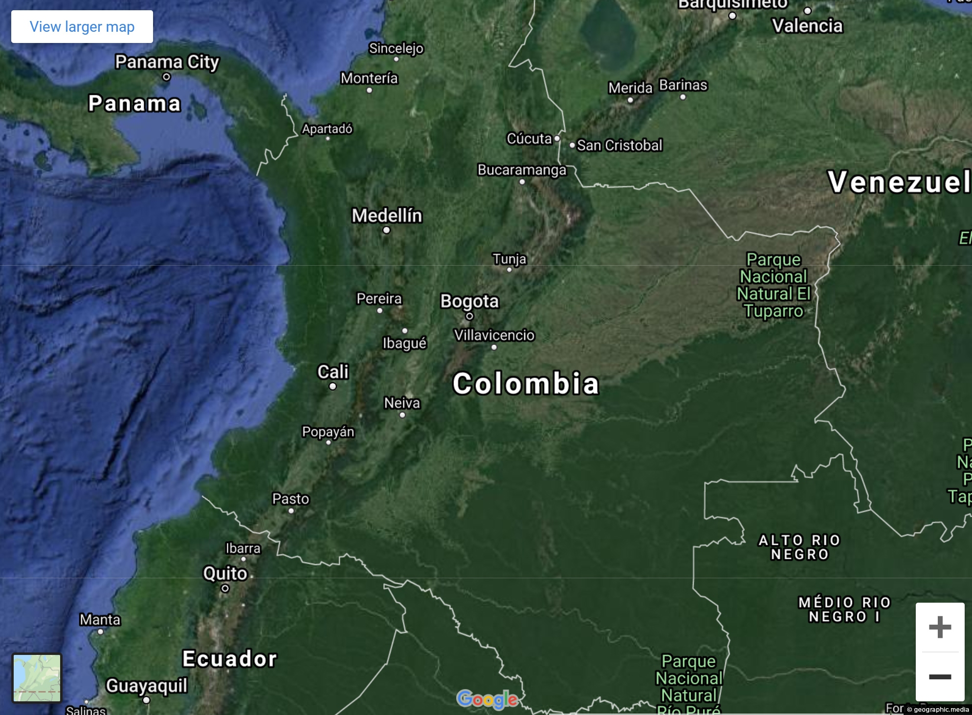
View Larger Map Explore Colombia’s varied landscapes and city streets using our Google Map and Street view. Both satellite...
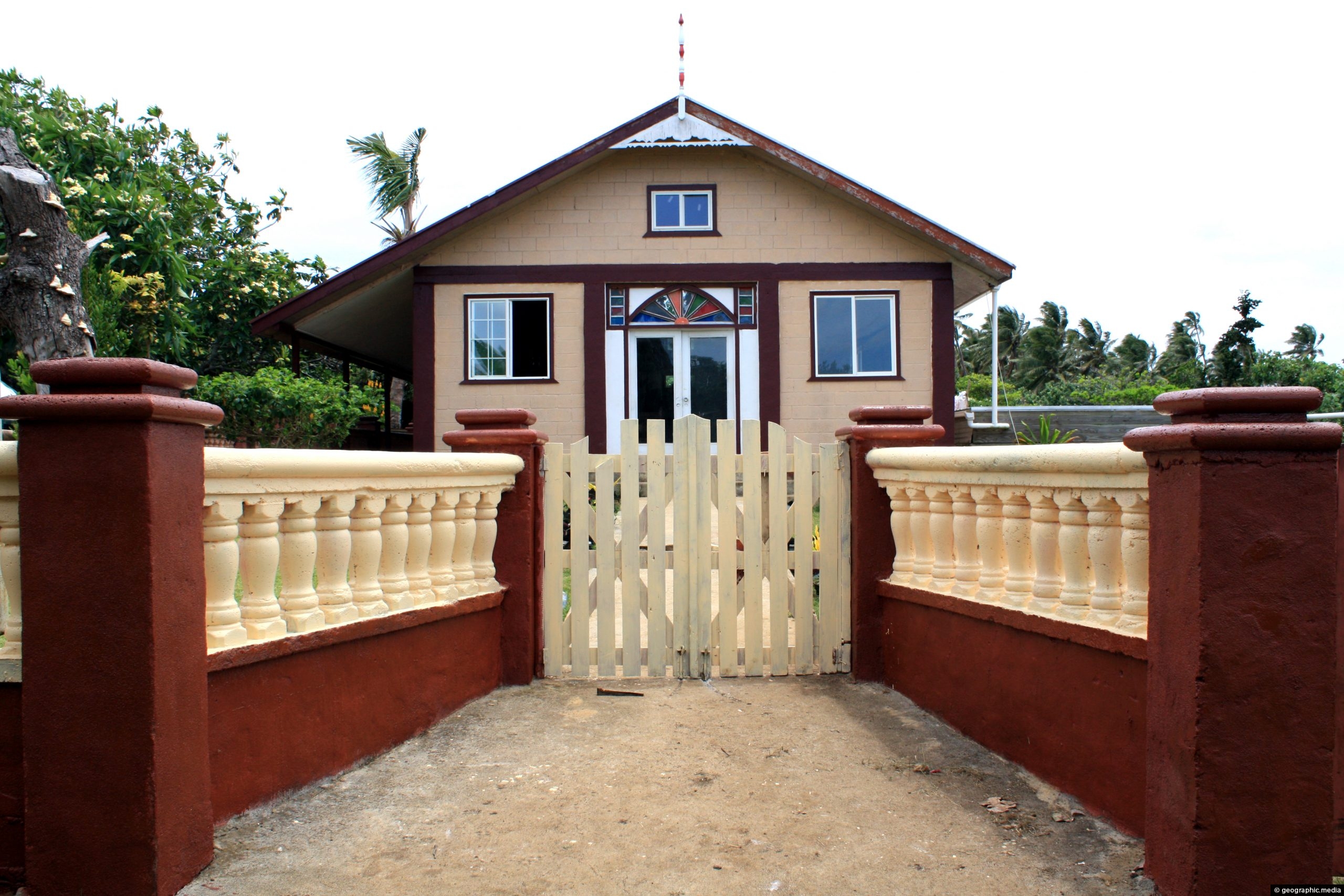
View of a church building in the main settlement on Atata Island in Tonga.

Recent Comments