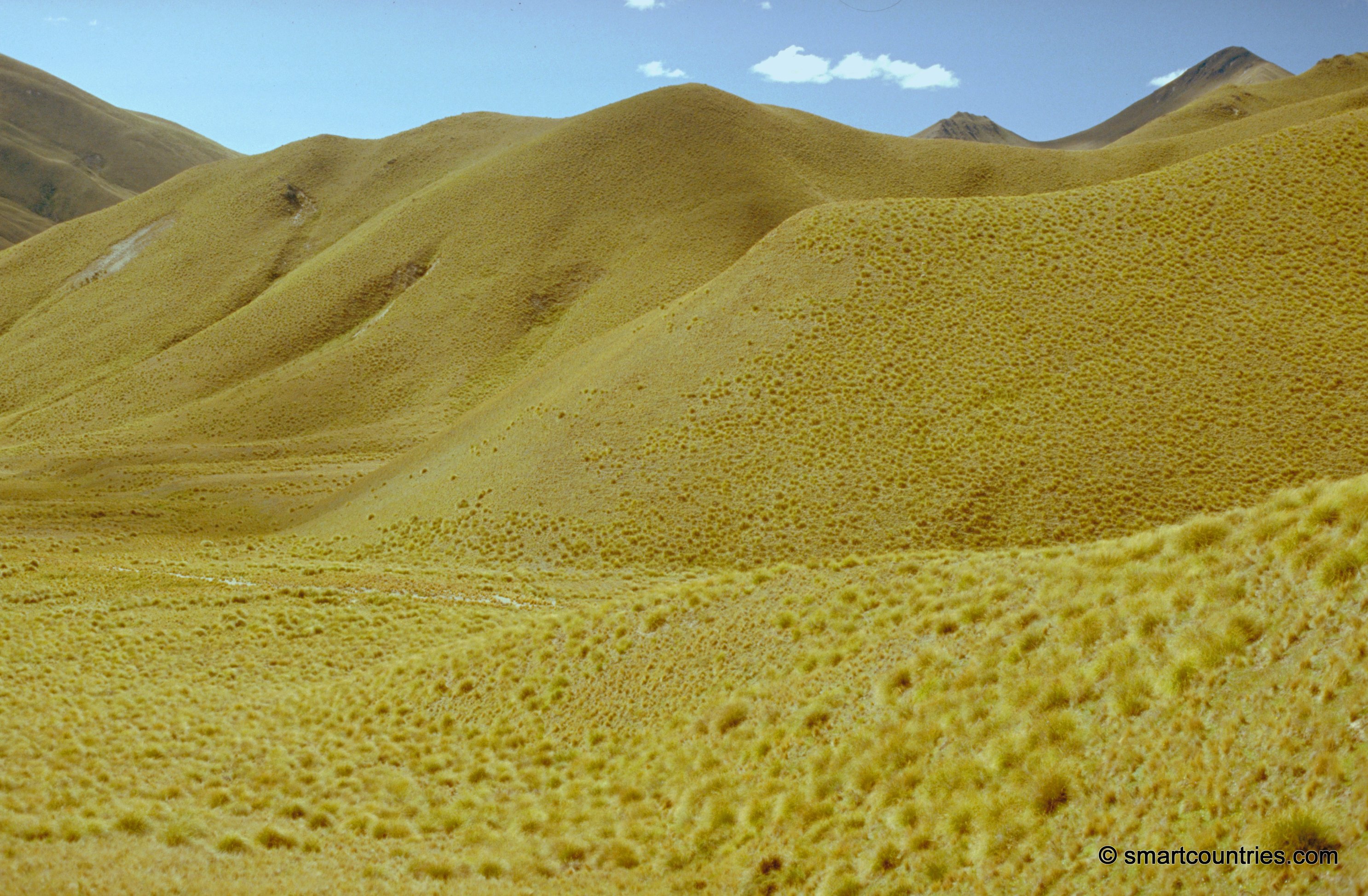
Lindis Pass in Otago is the second highest point on New Zealand’s state highway network. It passes through the Mackenzie Basin in the Canterbury Region of the South Island.
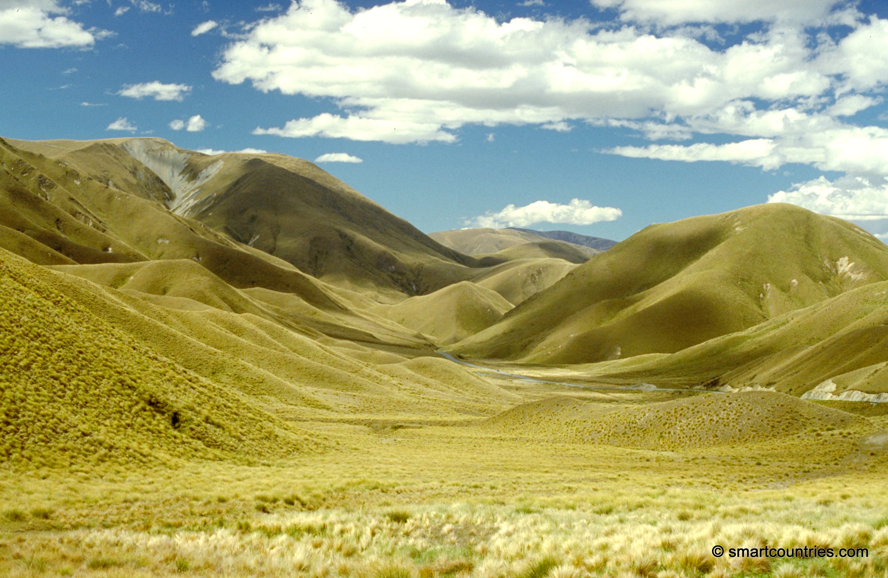
Lindis Pass Otago
Page Views
This post has been viewed 2,898 times
Related Articles
-
Tussock Grass Hills
Central Otago photos, Landscape / Horizontal, Mountains, Plants
View of hills covered in tussock grass at Lindis Pass in Central Otago. Tussock is suited to growing in...
-
Tussock Grass Hills Otago
Central Otago photos, Landscape / Horizontal, Mountains, Plants
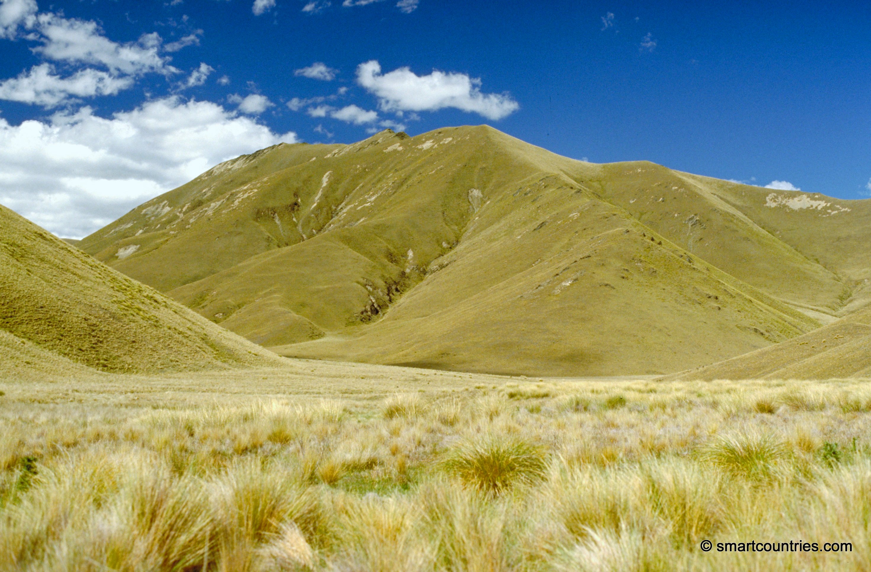
Tussock grasses growing on hills at Lindis Pass, Otago, New Zealand.
0 Comments
Popular Posts
- Awakening New Zealand video (100)
- Iguazu Falls as seen from Brazil (87)
- Metrocable Medellin (78)
- Pauatahanui Inlet (69)
- Spinnaker Hill View (69)
- Spinnaker Hill in Whitby Porirua (69)
- View from Whitby (68)
- The Devil’s Throat (63)
- Aerial View of Iguazu Falls (61)
- Porirua Harbour & Papakowhai (58)
- Lake Wakatipu (57)
- Salto Rivadavia & Iguassu River (56)
- Salto Rivadavia Misiones Province (54)
- Close up of Salto Rivadavia (54)
- Cascadas at Iguazu (54)
- Lake Tekapo & Lupins (54)
Subjects
AccommodationAnimalsArchitectureBeachesBirdsBoatsBridgesBuildingsCarsChurchesCitiesCoralCultureExtra Wide HorizontalFlowersForestsHarborsHomesIslandsLakesLandscape / HorizontalMapsMenMonumentsMountainsPalmsParksPeoplePlantsPortrait / VerticalRiversRoadsRuralSeaShopsSkyscrapersSnowSunsetsTownsTrailsTransportTreesVideosVolcanicWaterfalls
Recent Comments
- DavidJ on The True Size of Australia
- Anonymous on The True Size of Australia
- Lance on Concrete Hut Wainuiomata
- Tony on Concrete Hut Wainuiomata
- DavidJ on Wellington Night Skyline