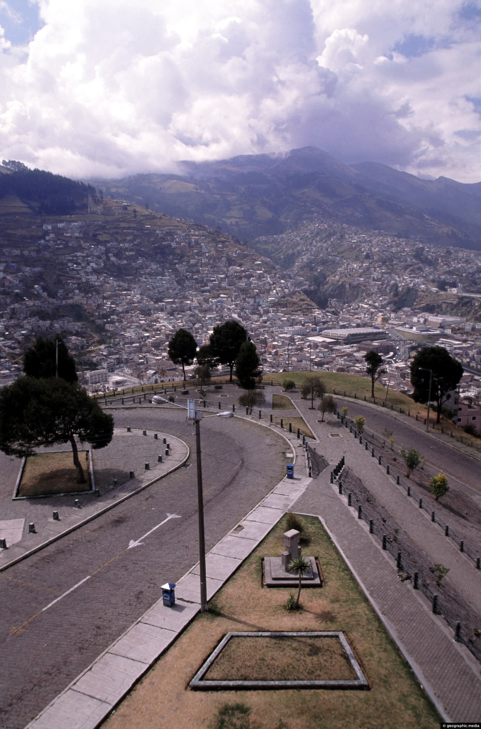
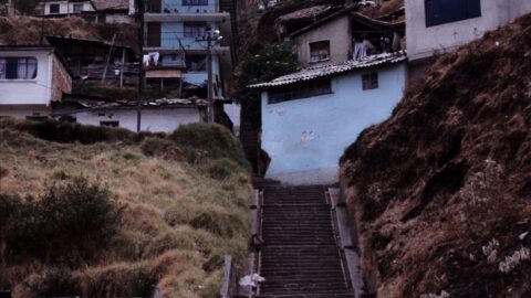
View of a road that descends down from El Panecillo Hill toward central Quito. At the bottom is the colonial part of Quito.
Click Jigshare icon to turn the image into a jigsaw. Or click on photo to download or view full screen image.

View of a road that descends down from El Panecillo Hill toward central Quito. At the bottom is the colonial part of Quito.
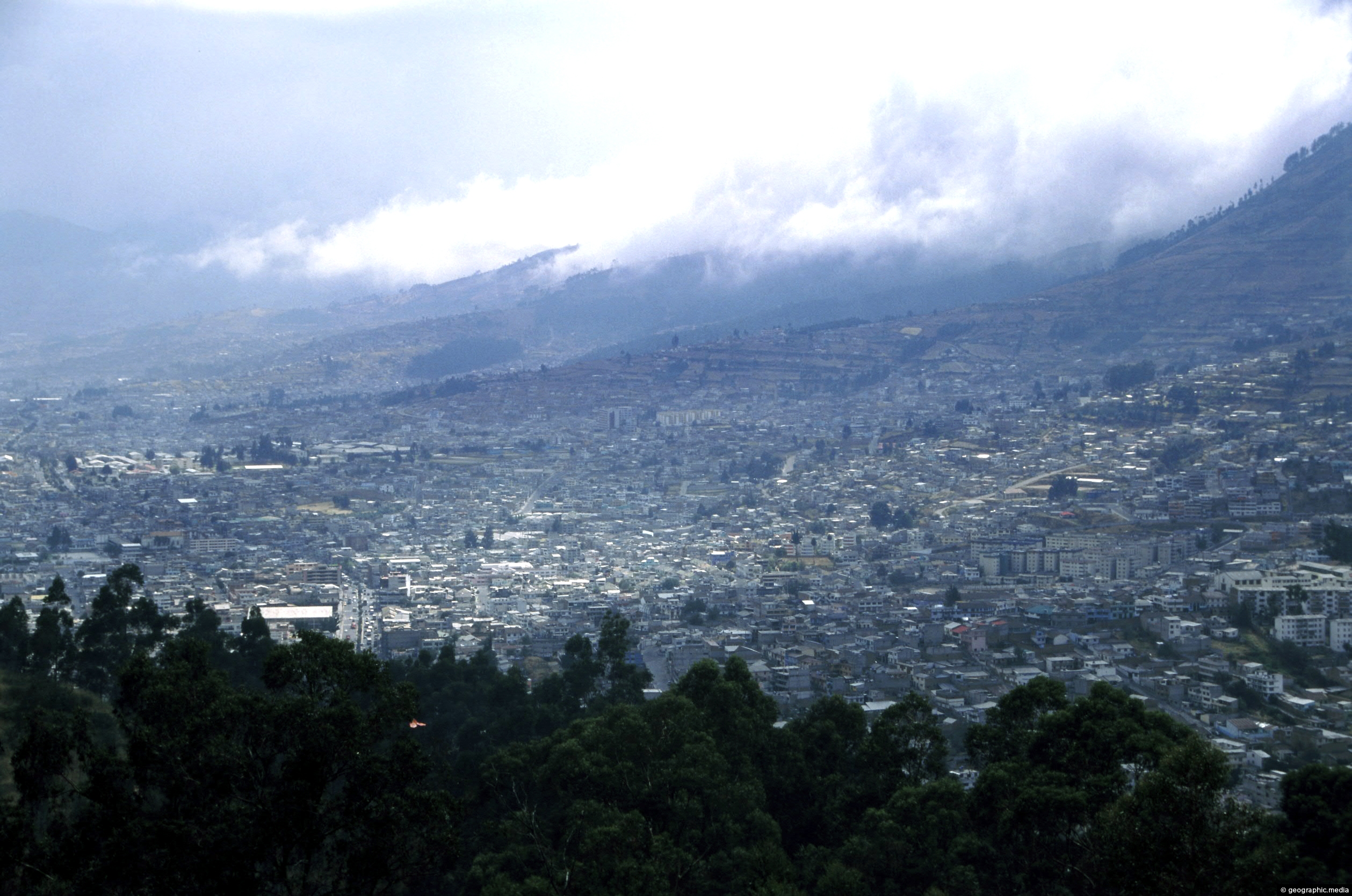
View at the foot of Pichincha Volcano where some of Quito’s suburbs wrap around its eastern slopes. Pichincha is...
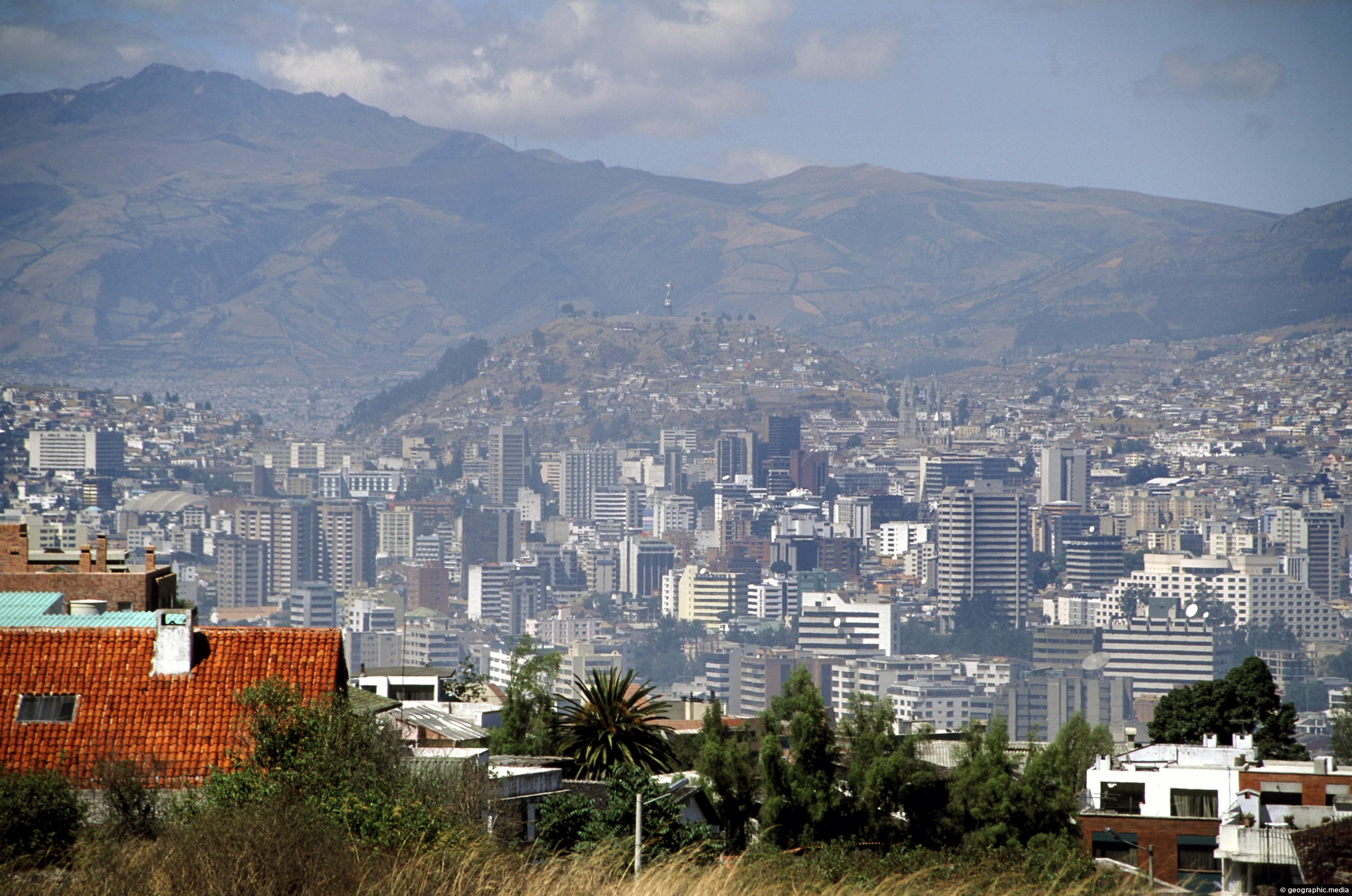
View of Quito’s central business district as seen from Calle Guanguiltagua (Guanguiltagua Street). La Virgen de Quito can be...
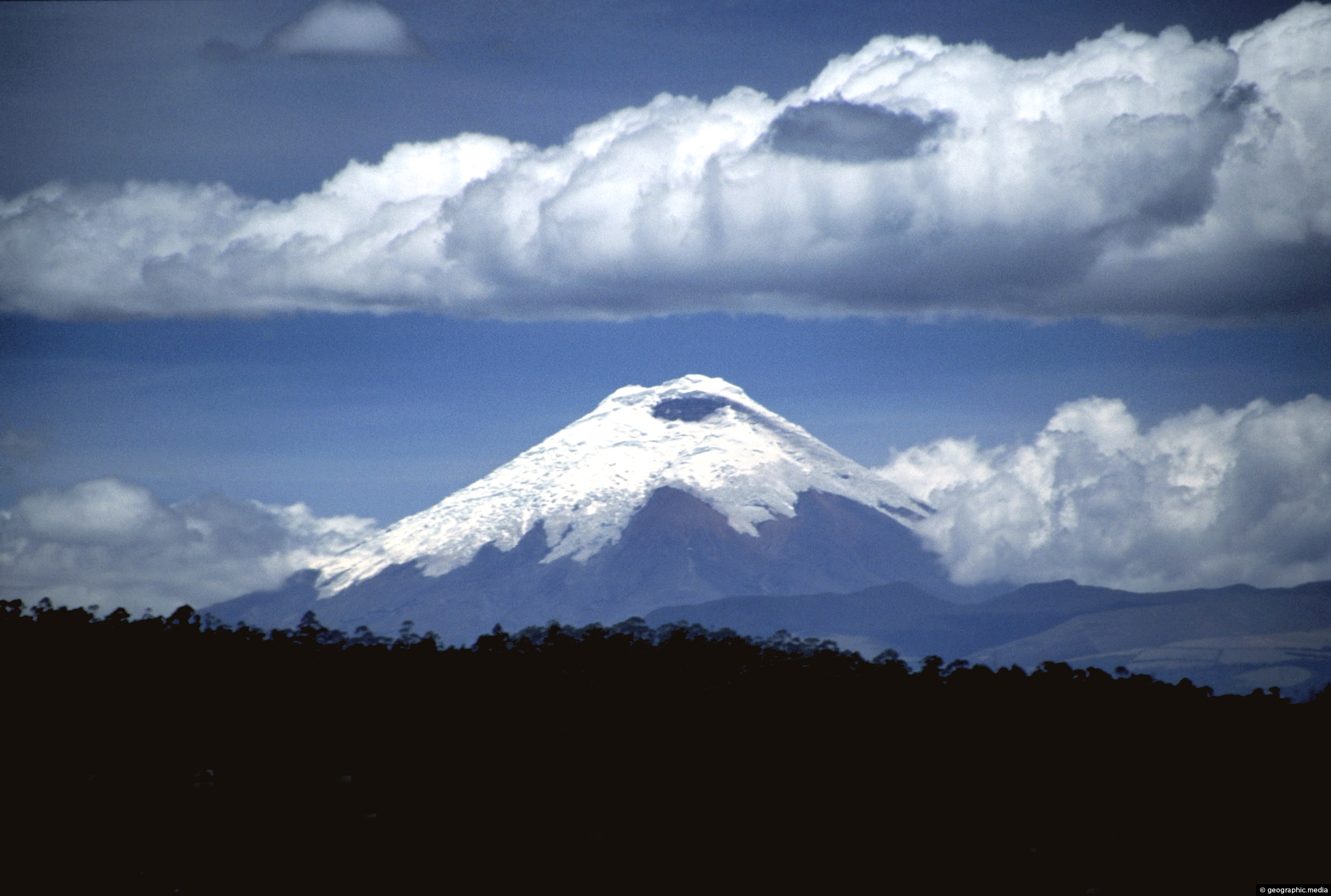
View of Cotopaxi Volcano located in the Andes mountains. This stratovolcano reaches a height of 5,897 metres, making it...
View of The Virgin of Quito which sits atop El Panecillo, a prominent hill that offers panoramic views of...
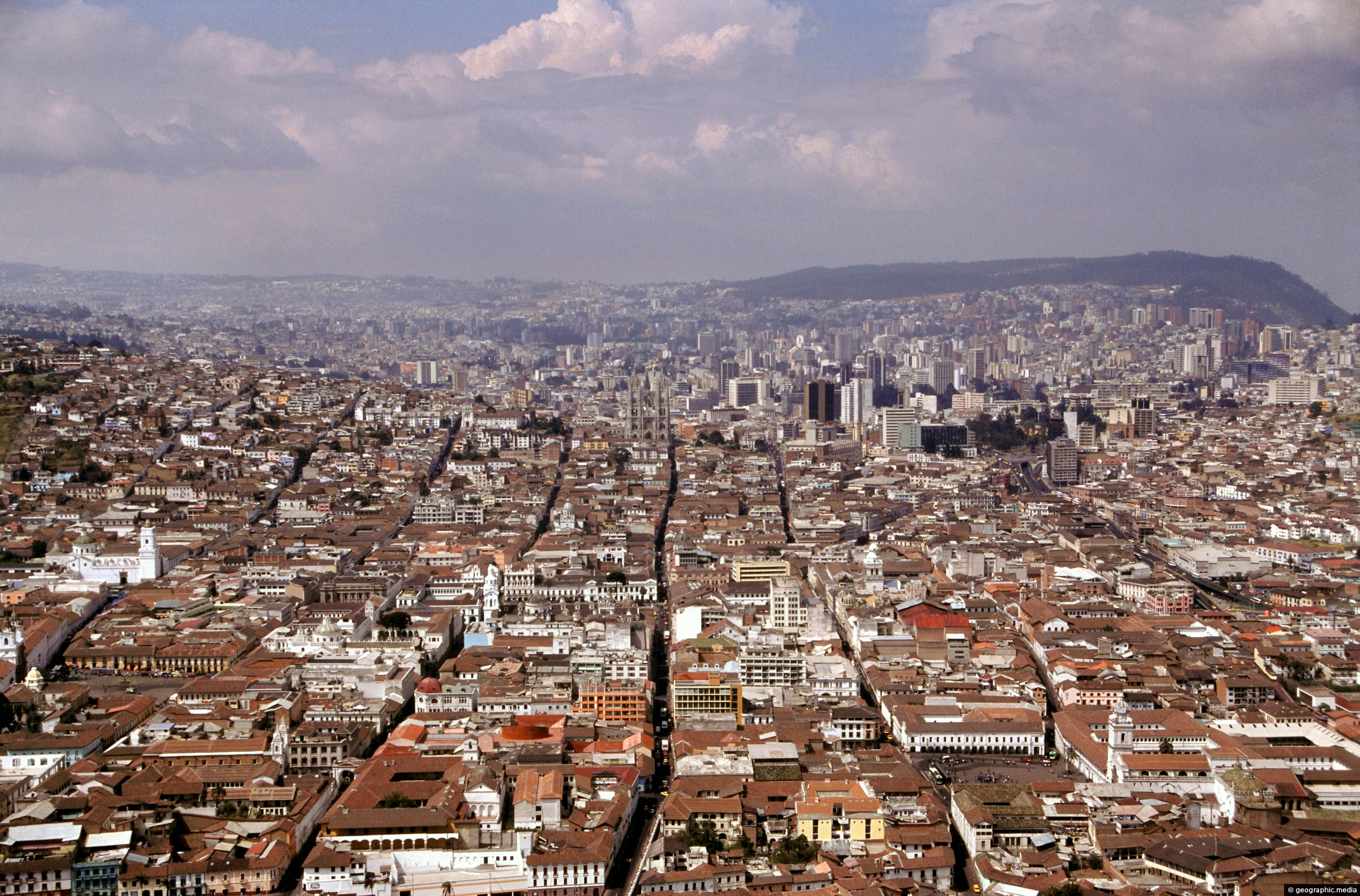
Extensive view of north Quito in Ecuador as seen from El Panecillo Hill. This hill also offers views of...
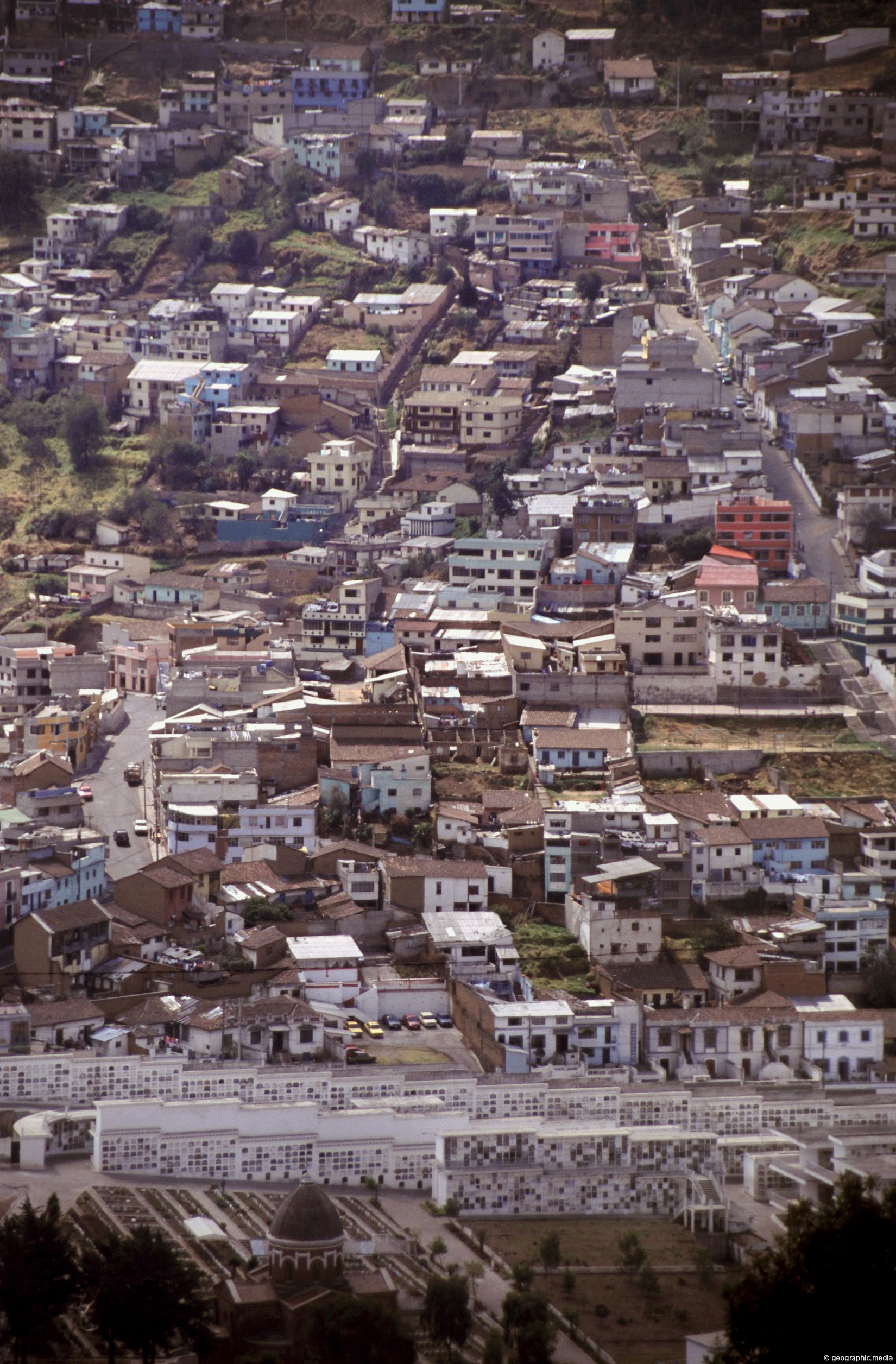
Zooming in on apartments and homes in the city of Quito. In view is a small section located at...
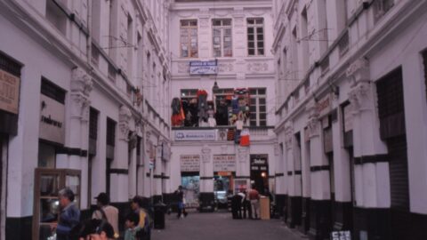
Pasaje Tobar is a Shopping Plaza in Centro Histórico, Quito. It has access from both on Guayaquil Street and...
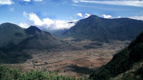
Pululahua Crater is a volcanic formation located near Quito, the capital city of Ecuador. It is a popular stop...
