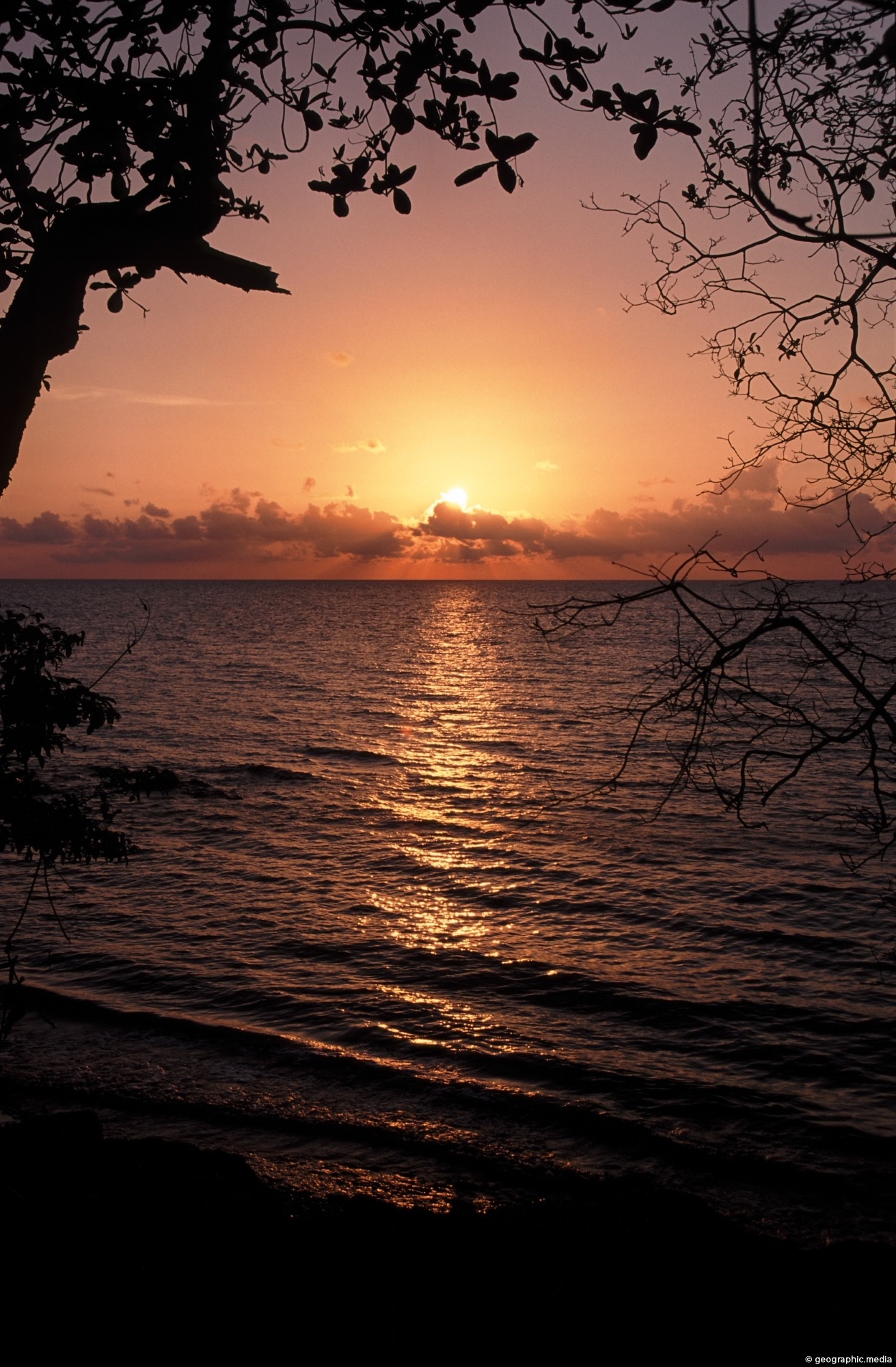
Vibrant hues of orange, pink, and red streak across the sky at Providencia Island in the Caribbean Sea.
Click Jigshare icon to turn the image into a jigsaw. Or click on photo to download or view full screen image.

Vibrant hues of orange, pink, and red streak across the sky at Providencia Island in the Caribbean Sea.
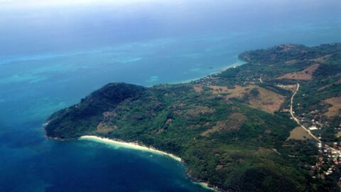
Aerial View of Providencia Island in Colombia with the main road in view. The white and beach is Manzanillo...
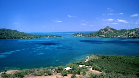
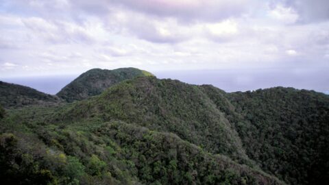
View of Providencia with the neighboring island of Santa Catalina to the left. Providencia and Santa Catalina are two...
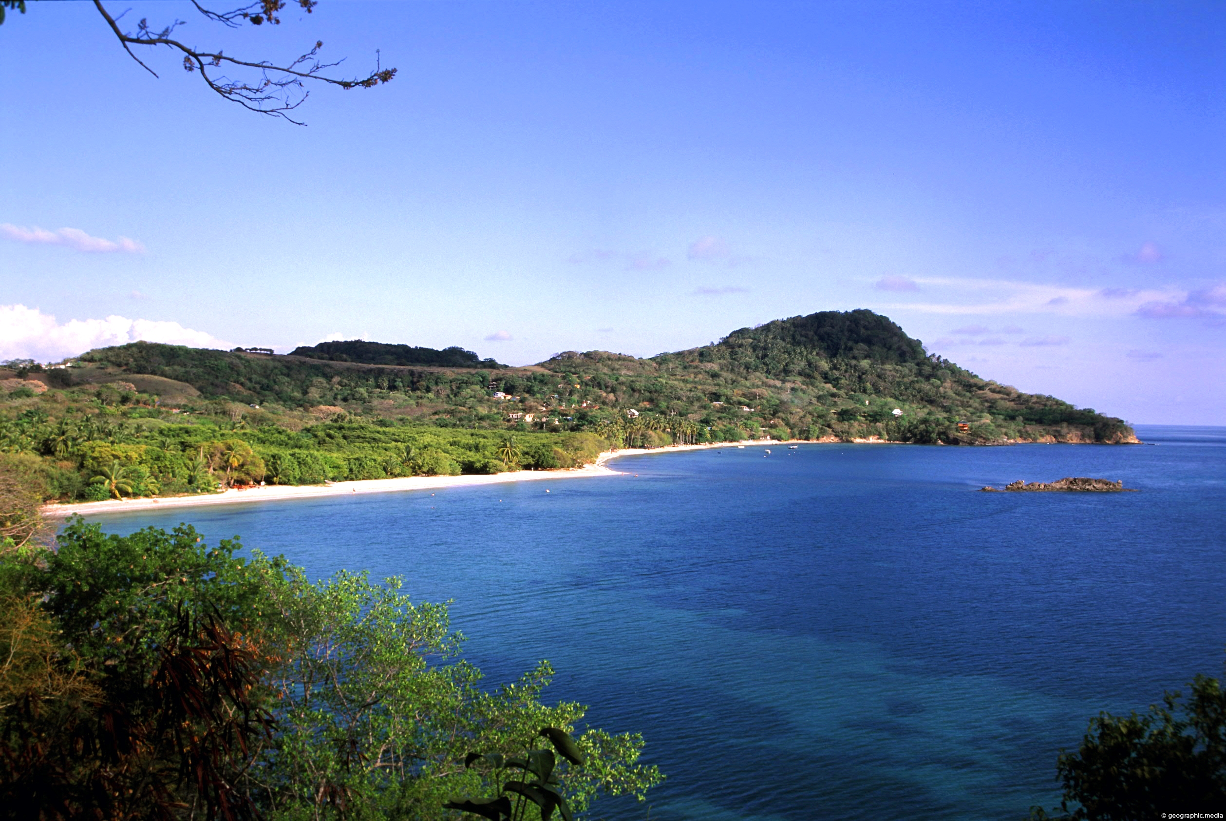
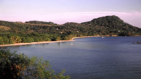
A stretch of coastline with two great beaches on the island of Providencia. Located in the Caribbean Sea ,...
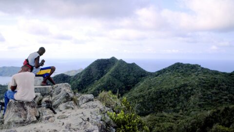
Two locals sitting atop the highest peak on Providencia Island. In view is Santa Catalina a neighboring island. Getting...
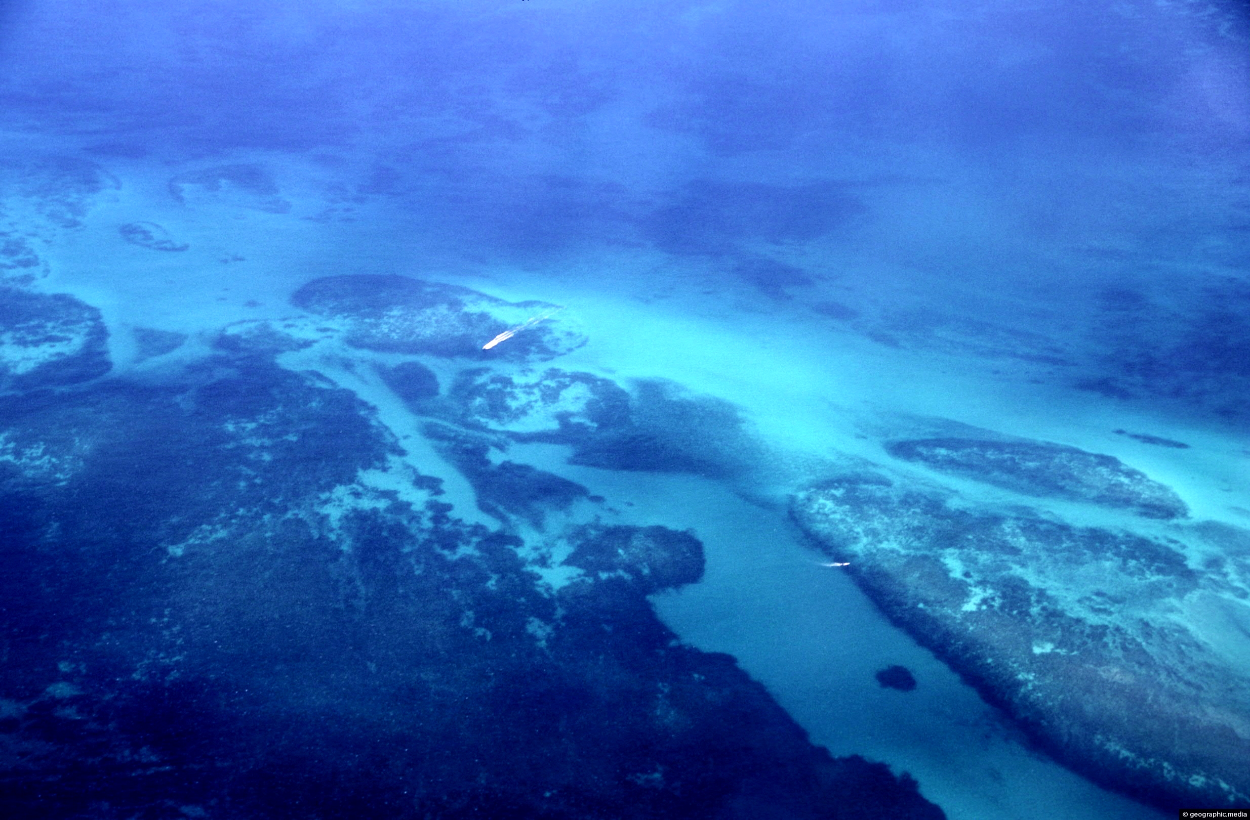
The Mesoamerican Barrier Reef System is over 1000 km (621 mi) long. Running along the coast of Belize it...
Providencia Island, also known as Old Providence, is a small island located in the Caribbean Sea, and while it...
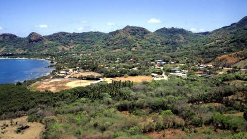
Santa Isabel is the largest town on Providencia Island and is located on the northern coast. It is where...
Southwest Bay is one of the main beaches on Providencia Island. Manzanillo Bay is the other main beach on...
