

The Trollstigen National Tourist Route in Norway is a popular scenic route that takes you through Isterdalen Valley (pictured)....
Isterdalen Valley Norway

93 Park in Bogota also known as “Zona Rosa” is a neighborhood located in the northwest of Bogotá, Colombia....
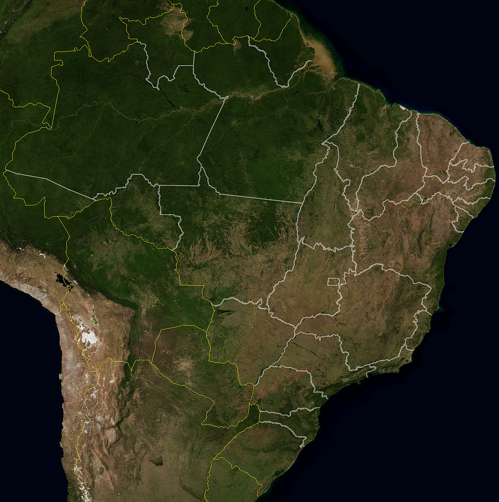
This NASA satellite image of Brazil shows clearly the Amazon Basin and the drier south east of the country....
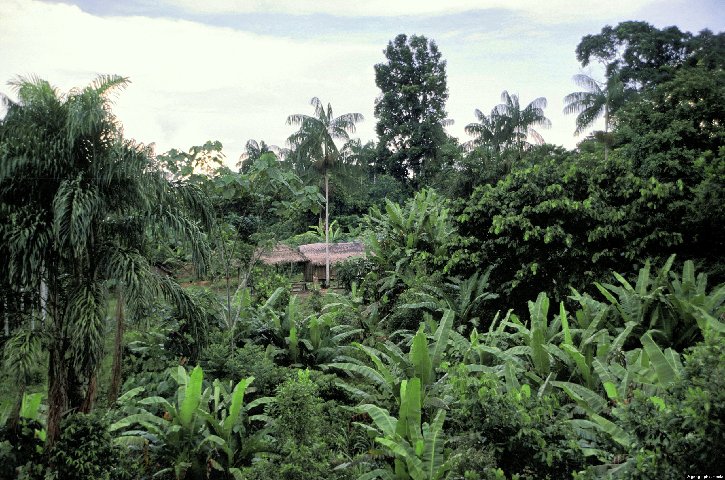
A small clearing in the Amazon rainforest with a home in view. This location is on the banks of...
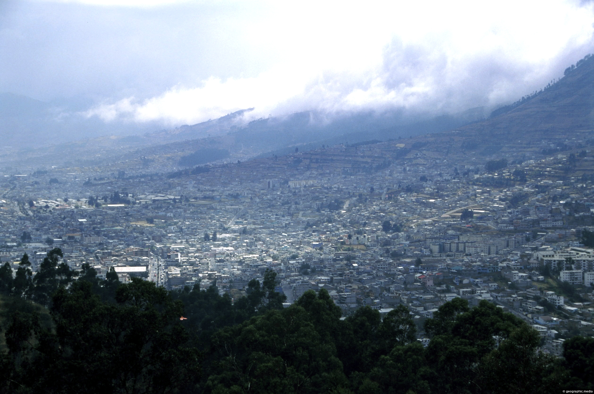
View at the foot of Pichincha Volcano where some of Quito’s suburbs wrap around its eastern slopes. Pichincha is...

Looking down on farmland in the Coast Road area of Wainuiomata. Coast Road flows southwards from suburban streets into...

Mount Victoria view of Wellington city and harbor, circa 1990. The Wellington Bus Terminus is in view. Today, a...
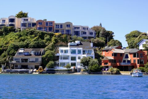
Looking at coastal homes perched on the coast on Seaview Road in Paremata. Picture taken from Pauatahanui Inlet.

Rainbows are a permanent sight during the day from mist that is created by Salto Rivadavia as it flows...
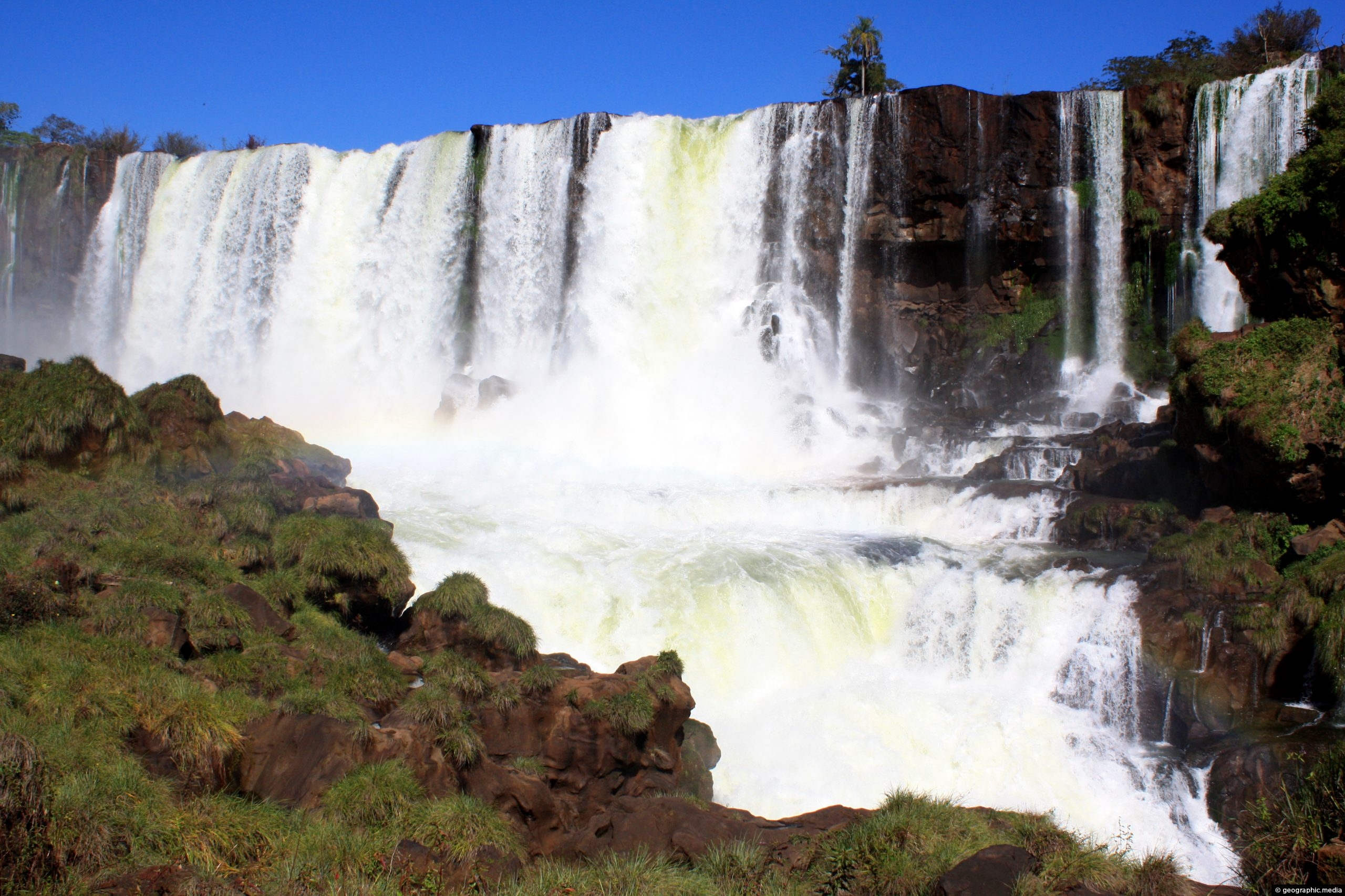
Looking at a portion of Salto Rivadavia an area of where numerous waterfalls from the Upper Iguazu flow onto...
The Whakanui Track begins at the top of Sunny Grove and crosses McKerrow Ridge before descending into the Ōrongorongo...


Recent Comments