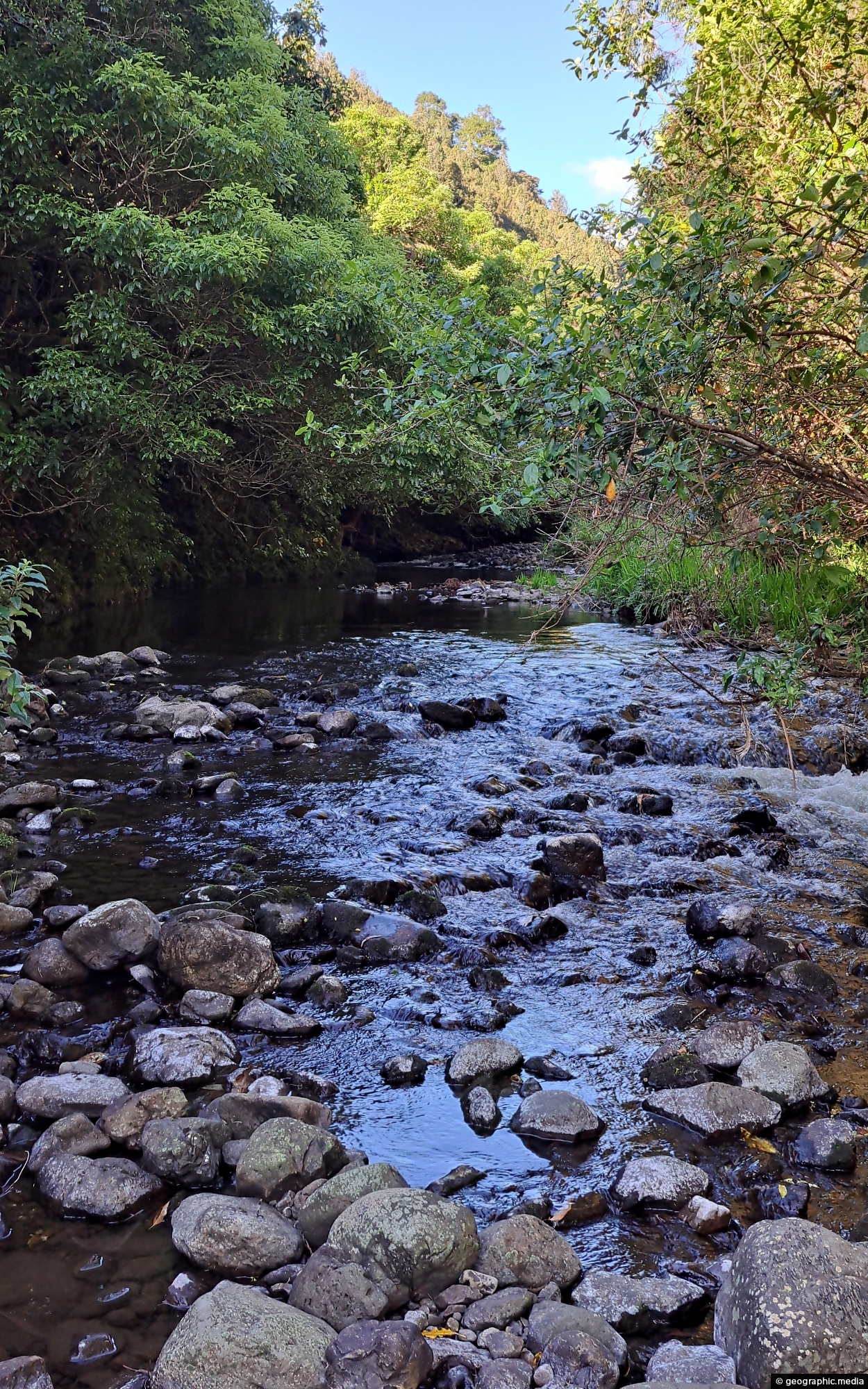
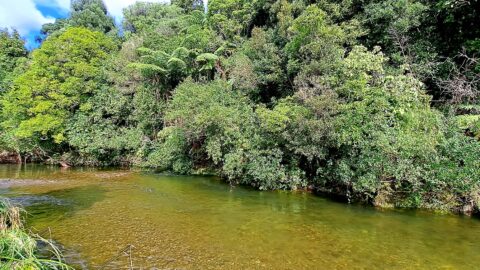
View of the Wainuiomata River in Reservoir Valley, downstream from the weirs that divert water for Wellington’s supply.
Click Jigshare icon to turn the image into a jigsaw. Or click on photo to download or view full screen image.

View of the Wainuiomata River in Reservoir Valley, downstream from the weirs that divert water for Wellington’s supply.
Solomon’s Knob is a small hill in the Wainuiomata water catchment, reshaped in the early 1900s during the building...
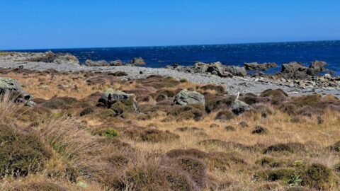
A view of the rugged coastline and native vegetation on the southern North Island, specifically in Wainuiomata. This section...
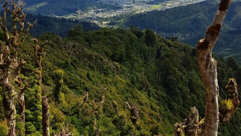
Looking down on Wainuiomata Valley from atop the Remutaka Range near Mt McKerrow in the southern North Island. Wellington...
Looking at the upper reaches of the Wainuiomata River at the foothills of the Remutaka range. Access to here...
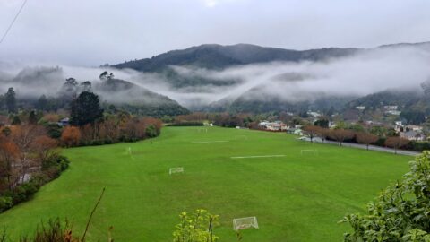
Winter view of Richard Prouse Park in Wainuiomata, with the hills of Wainuiomata Regional Park shrouded in fog.
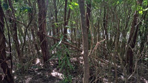
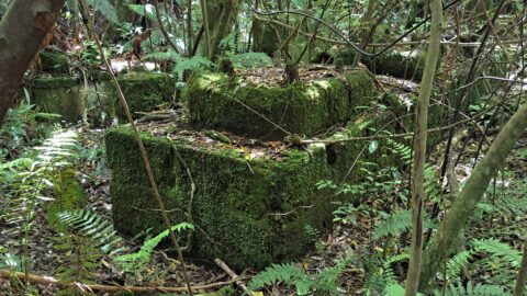
These remnants are believed to be part of a power generator that was used during the construction of the...
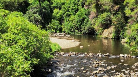
Top Pool in Wainuiomata is a natural swimming area in Wainuiomata River. It is located on the Gums Loop...
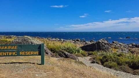
A sign notifying walkers that they are entering the Turakirae Head Scientific Reserve. Situated on the southern coast of...
