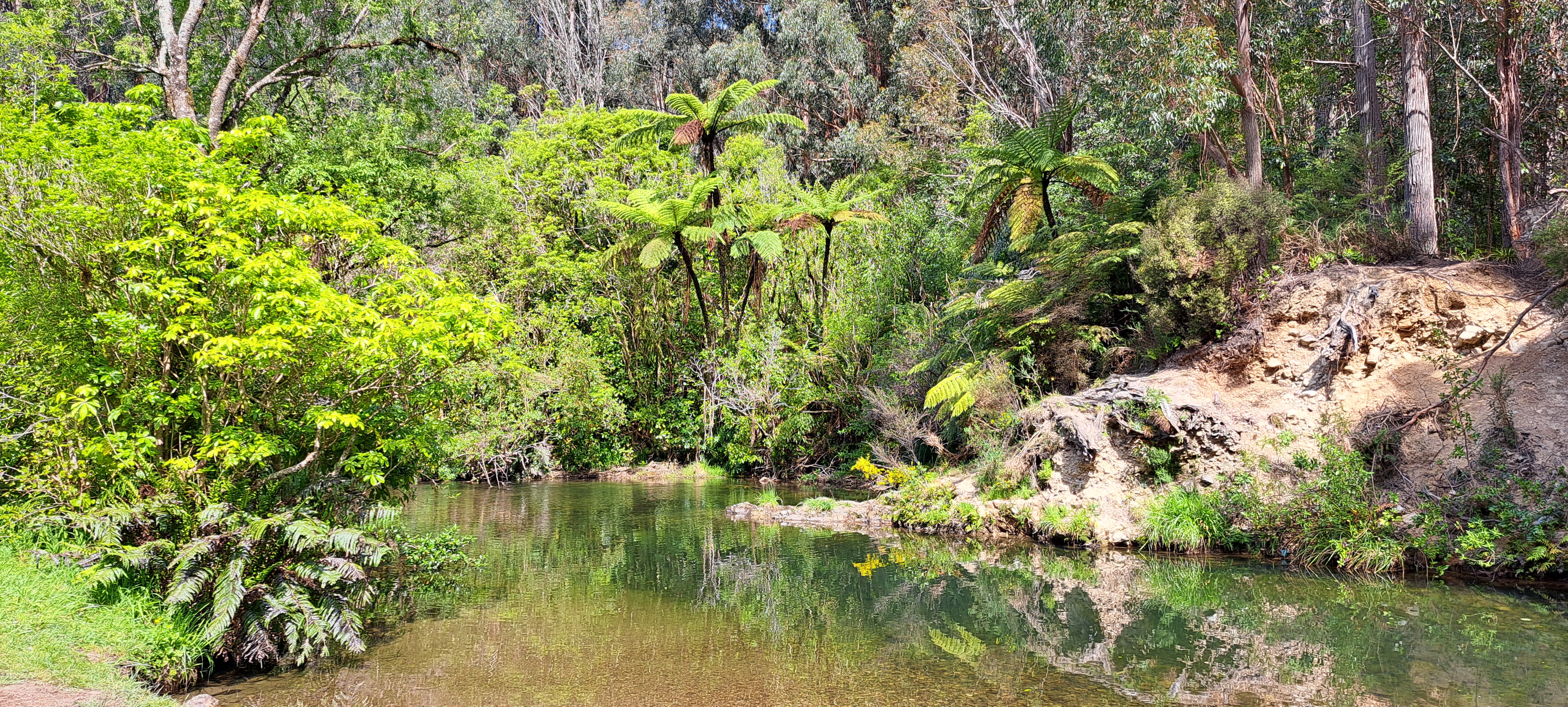
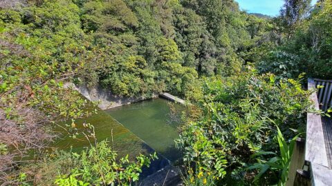
Ultimate Pool is further up Wainuiomata River from Top Pool. Access is gained via Reservoir Road or Gums Loop Walk.
Click Jigshare icon to turn the image into a jigsaw. Or click on photo to download or view full screen image.

Ultimate Pool is further up Wainuiomata River from Top Pool. Access is gained via Reservoir Road or Gums Loop Walk.
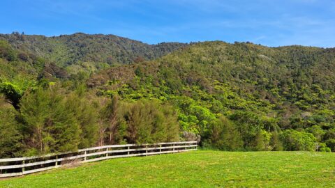
Looking at hills covered in native bush in one the largest areas of lowland native forests in the lower...
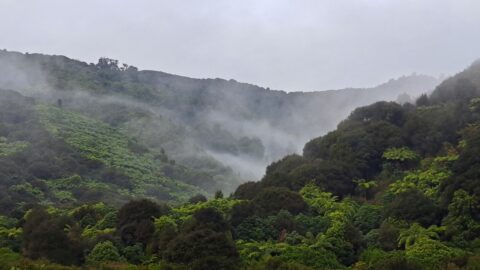
A misty day at Nikau Creek Valley in Wainuiomata Regional Park offers a striking view. During winter, Wainuiomata occasionally...
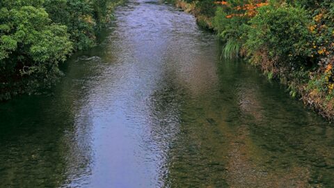
Autumn colors at Wainuiomata River, viewed from Main Road Bridge. The river, the principal waterway of Wainuiomata, flows through...
View of the spillway and lookout. The Wainuiomata River is channeled from a wetland, continuing its course beneath as...
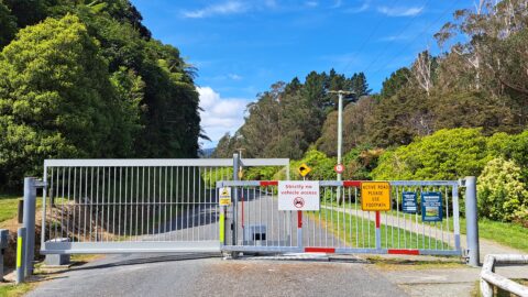
There are also a number of bush tracks into the park that take you through native bush and a...
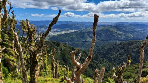
View from the top of Whakanui Track along a ridgeline, before it connects to the McKerrow Track. Wainuiomata can...
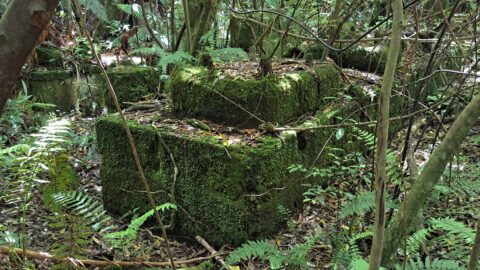
These remnants are believed to be part of a power generator that was used during the construction of the...
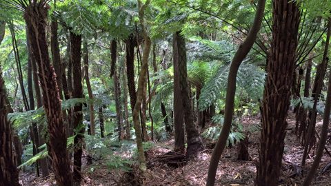
Fern trees are widespread throughout New Zealand forests and typically thrive in shaded areas with consistent rainfall.
