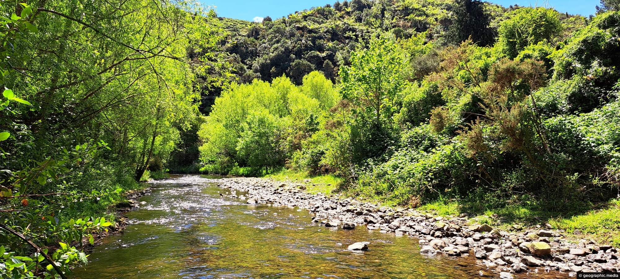
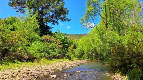
View of Wainuiomata River on the edge of Richard Prouse Park. This part of the river has a few good swimming areas.
Click Jigshare icon to turn the image into a jigsaw. Or click on photo to download or view full screen image.

View of Wainuiomata River on the edge of Richard Prouse Park. This part of the river has a few good swimming areas.
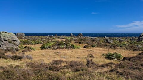
Turakirae Head Scientific Reserve located on the southern coast of Wainuiomata in New Zealand, is renowned for its geological...
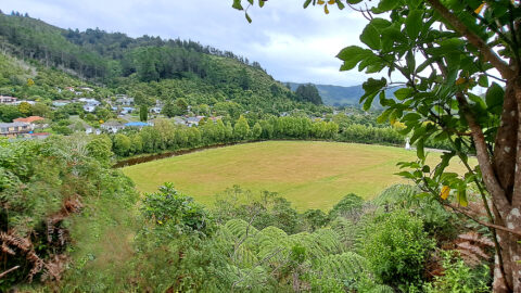
Looking at the eastern side of Richard Prouse Park from high up a nearby hillside. Houses on Hine Road...
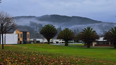
Observing Queen Street Reserve in the fall, you’ll find a charming oasis nestled in the heart of the Wainuiomata...
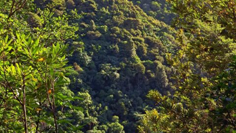
View of Nikau Creek Valley in Wainuiomata from high up one of the gully walls. Over the hill ahead...
The section of the Wainuiomata River meanders along the edge of Richard Prouse Park, offering several nearby swimming spots.
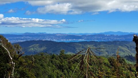
From the peaks of Wainuiomata Regional Park the views are astounding. You can see Wellington Harbour and the city.
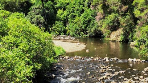
Top Pool in Wainuiomata is a natural swimming area in Wainuiomata River. It is located on the Gums Loop...
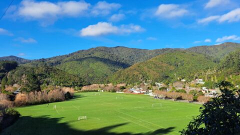
View of Richard Prouse Park as seen from Moores Valley Road. The hills in the background are part of...
