
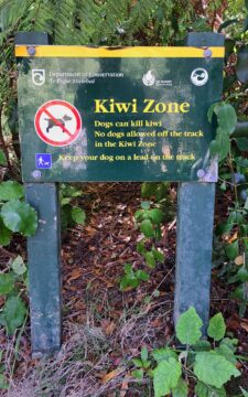
A sign alerting to walkers in the Remutaka Forest Park that there are kiwi birds in the forest and...
Kiwi Zone Sign
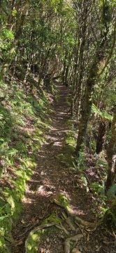
This section of the Whakanui Track follows a steep hillside, with openings that offer stunning views of the gully...
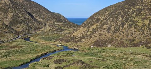
Looking across the southern section of the Wainuiomata River before it flows beyond the south coast and out into...
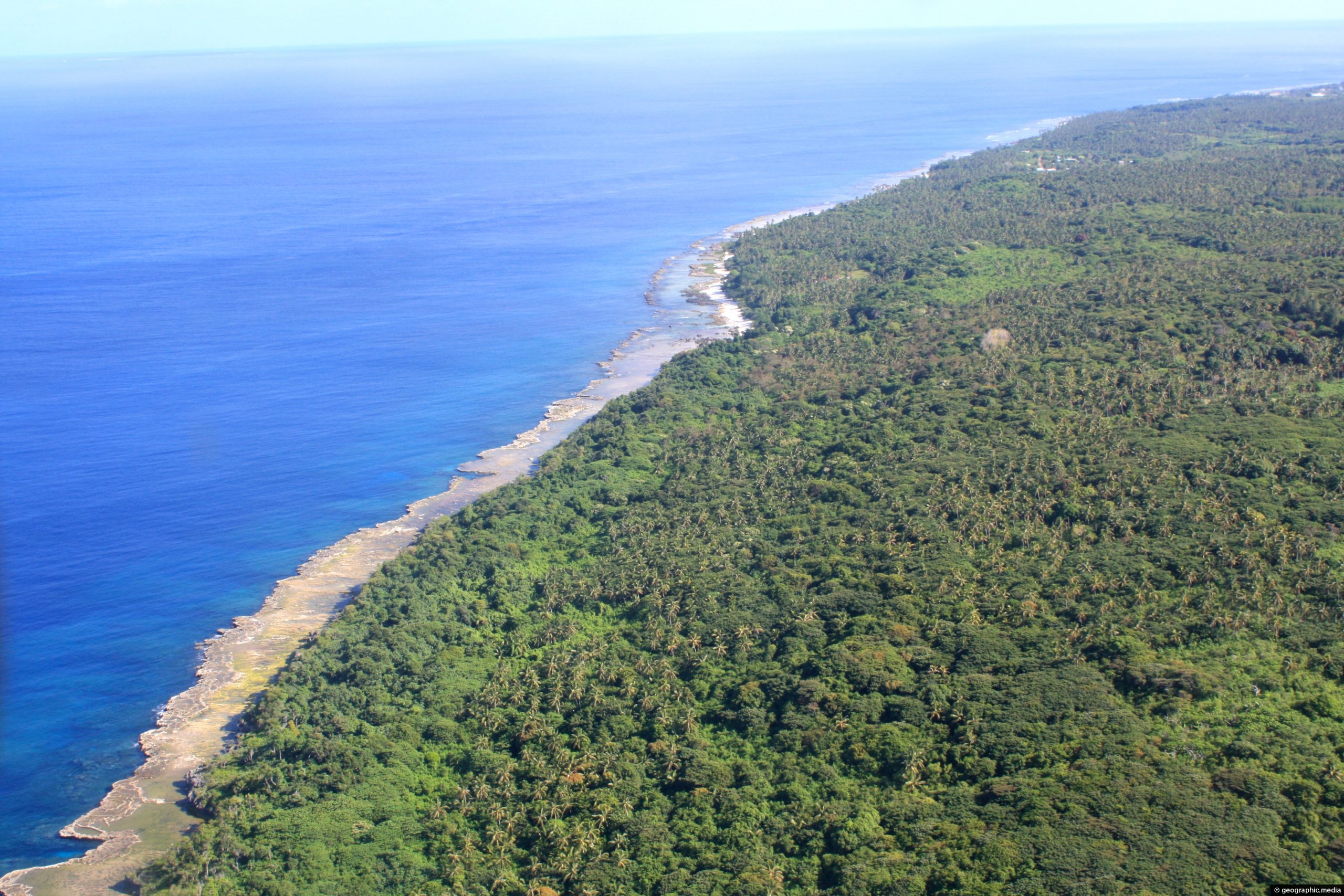
Approaching Eua Island in Tonga on Air Chathams, a small New Zealand airline. In view is native forest and...
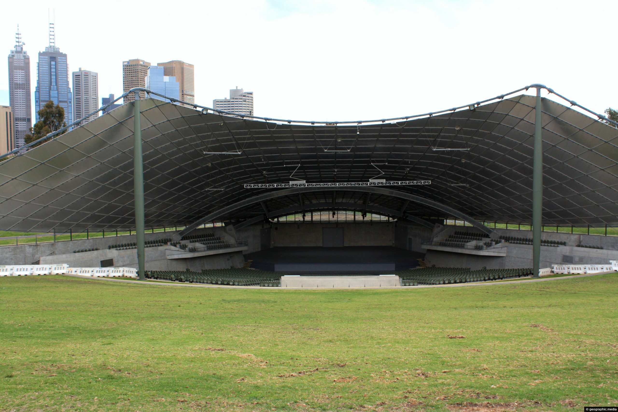
The Sidney Myer Music Bowl, situated in Melbourne’s Kings Domain Gardens near the Arts Centre and the Southbank suburb,...
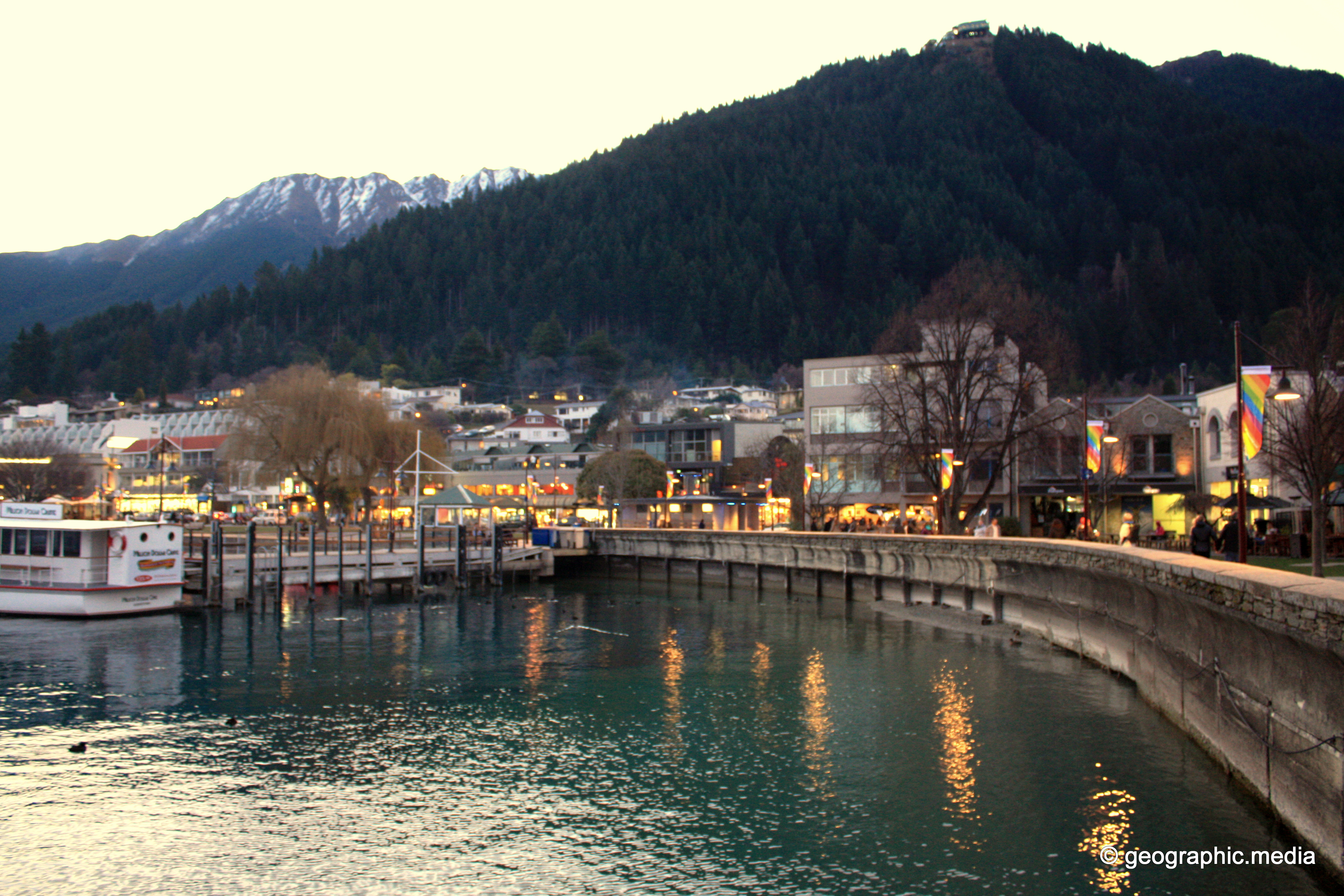
View of the Queenstown waterfront at dusk. The waterfront contains quality restaurants and a number of boat tours.
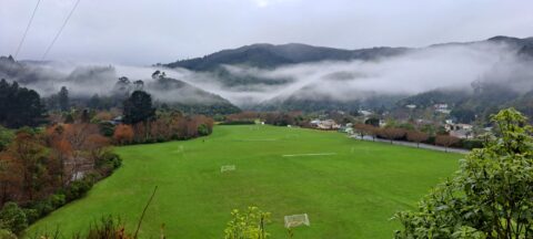
Winter view of Richard Prouse Park in Wainuiomata, with the hills of Wainuiomata Regional Park shrouded in fog.
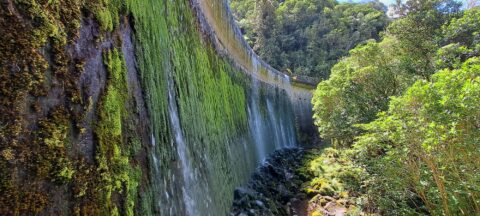
Water spilling over the top of Birchville Dam in the Akatarawa Forest. The dam was decommissioned in 1958.
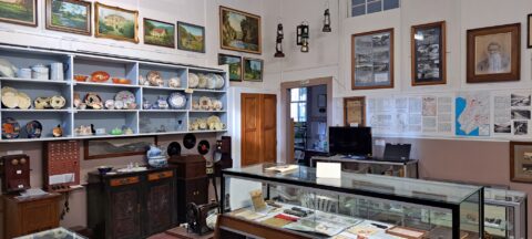
Looking at one of the rooms in the Wainuiomata Museum that displays artefacts from the past as well as...
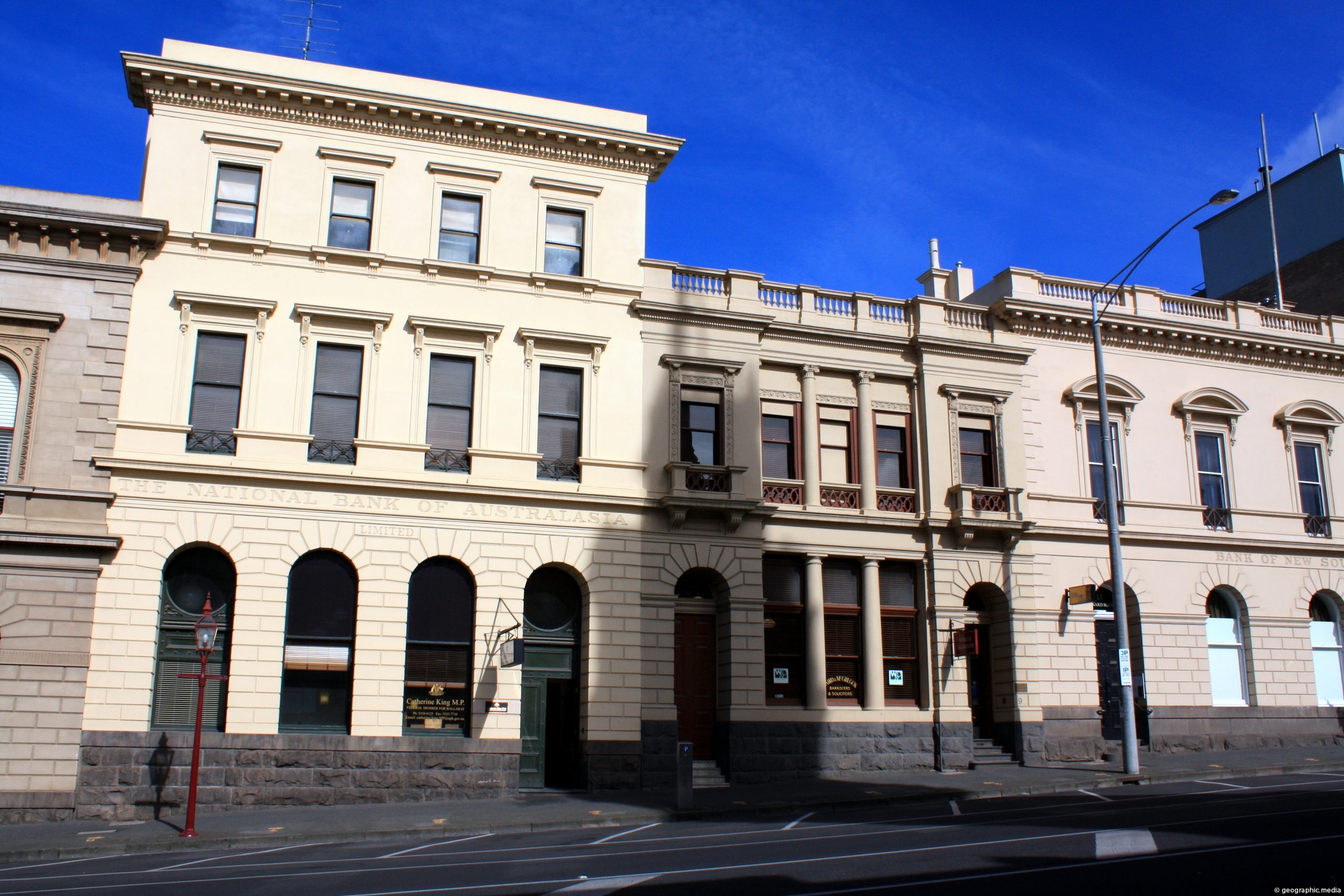
A section of Victorian era architectural buildings on Lydiard Street North in the inland city of Ballarat.
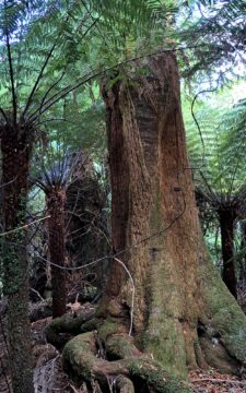
View of a giant tree in Wainuiomata in an area that was never logged. While the most of the...

Recent Comments