

A boat dropping off tourists at the southern end of Whitehaven Beach. The beach is 7km (4.3 mi) long,...
Boat on Whitsunday Island
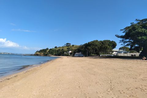
Looking south along a sandy strip known as Cheltenham Beach. Located in the Auckland suburb of Devonport, it is...
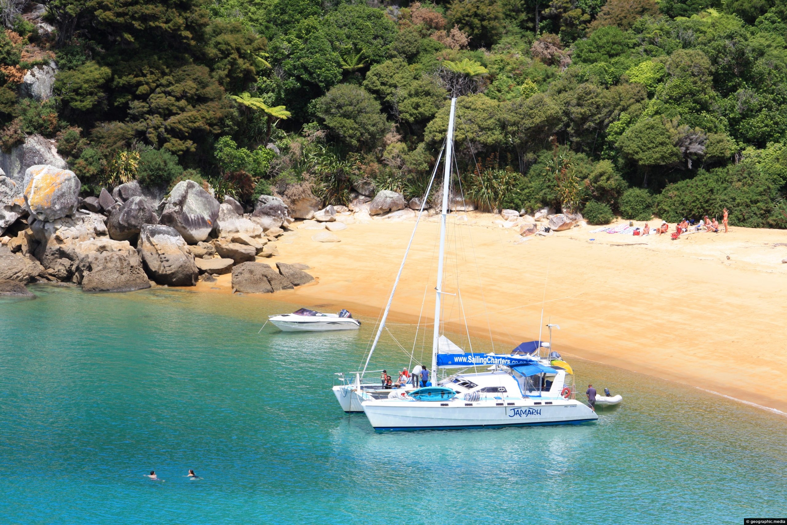
View of the eastern part of Te Pukeatea Bay in Abel Tasman National Park, New Zealand. This area is...

View of surrounding farmland in Anapoima. Crops include bananas, coffee, and sugarcane. Steeper peaks of the Andes are obscured...

Looking at some old homes in the Wainuiomata Recreational Area. These homes among others once housed dam workers and...
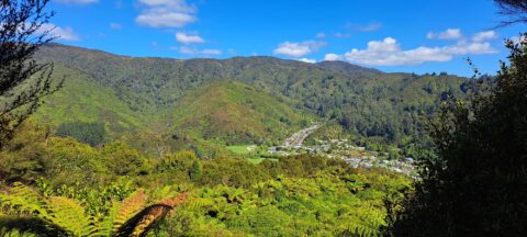
High up on a ridge in Wainuiomata Scenic Reserve, you can get a great view of Sunny Grove, Hine...
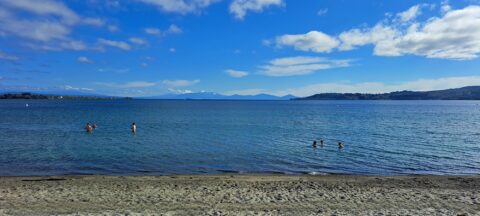
Looking at Lake Taupo from the waterfront in the township of Taupo. The lake is the largest in New...

Looking toward Oriental Bay with Mt Victoria in the background. Port Nicholson Yacht Club is close by with Saint...
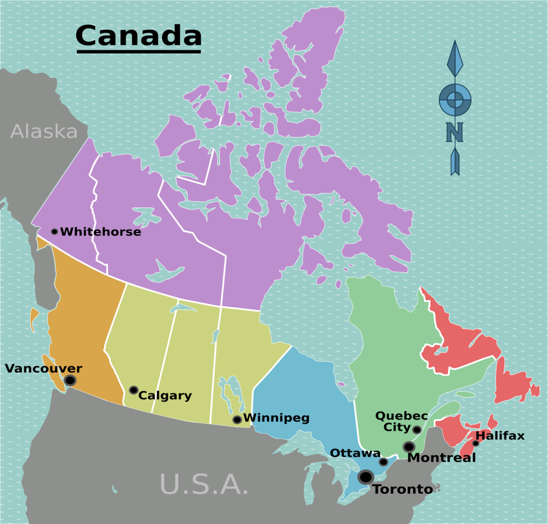
Canada is divided into six regions, each containing one or more provinces or territories. This map also shows major...


Raiha Walkway starts near Bunnings in Porirua and takes you close to the entrance of Colonial Knob Walkway.


Recent Comments