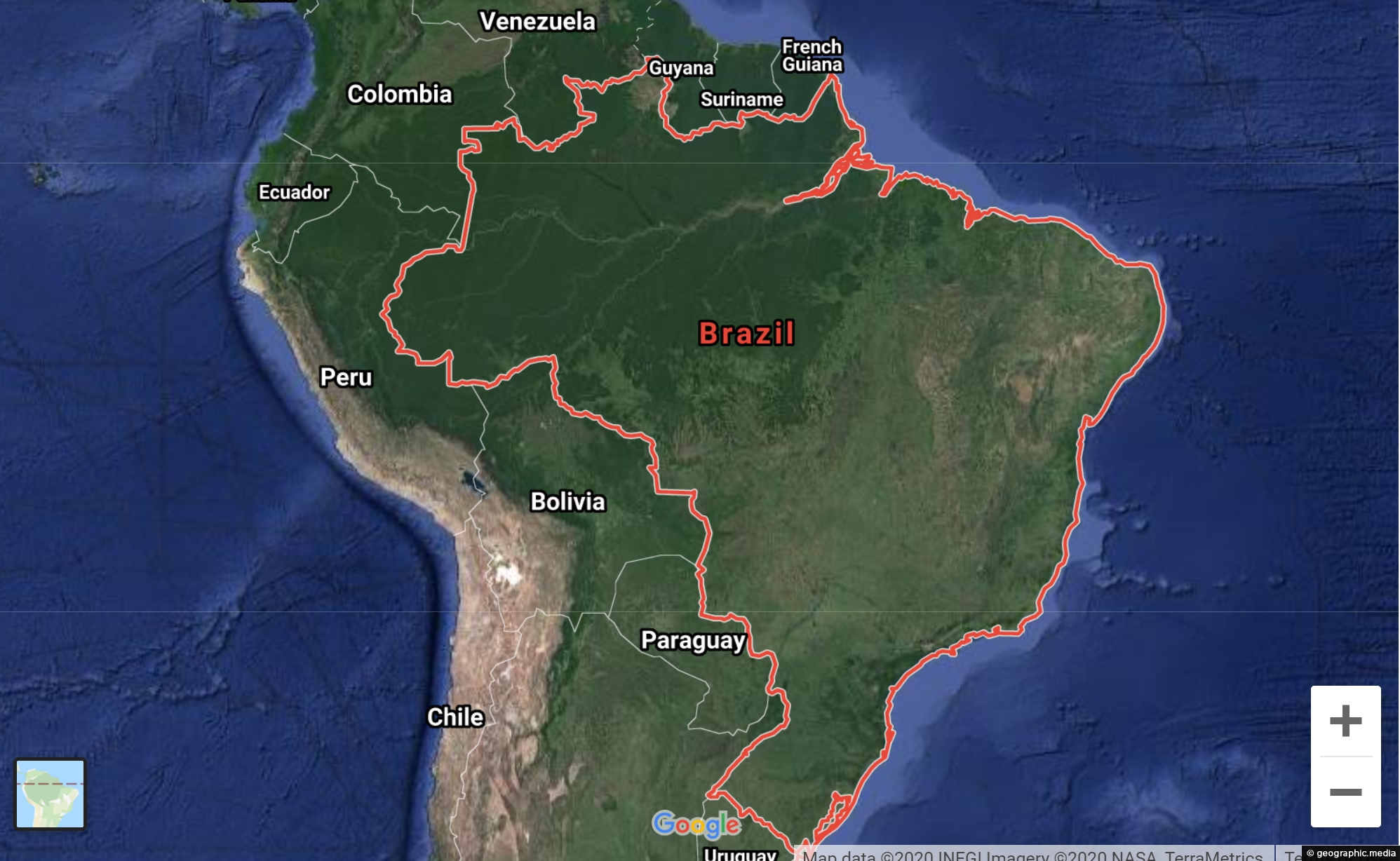
View Larger Map Navigate Brazil using our Google Map and Street View. Explore the Amazon Rainforest, view scenic coastlines,...
Brazil Google Map
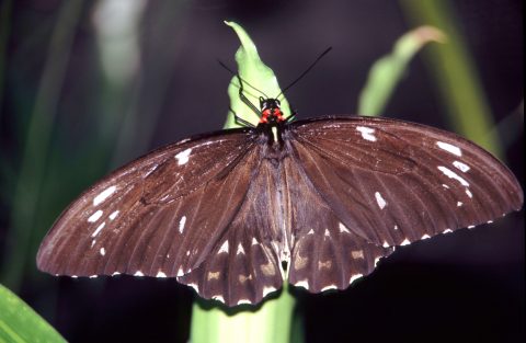
The Australian Crow Butterfly is native to Australia and South Asia. In Asia it is known as the Common...
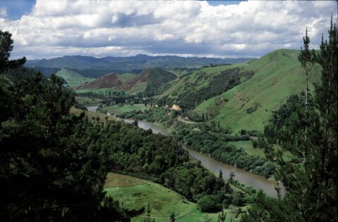
View of the Whanganui River. Photo taken between Whanganui city and Tongariro National Park on the scenic and windy...
View of houses rising up the hill in the suburb of Oriental Bay. Homes here are expensive because of...
View of the National Reserve Bank of Tonga located in Nuku’alofa.
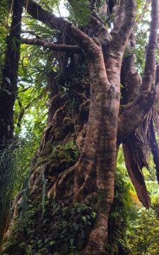
This old tree has hosts many different epiphyte species. An epiphyte refers to a plant species that thrives by...
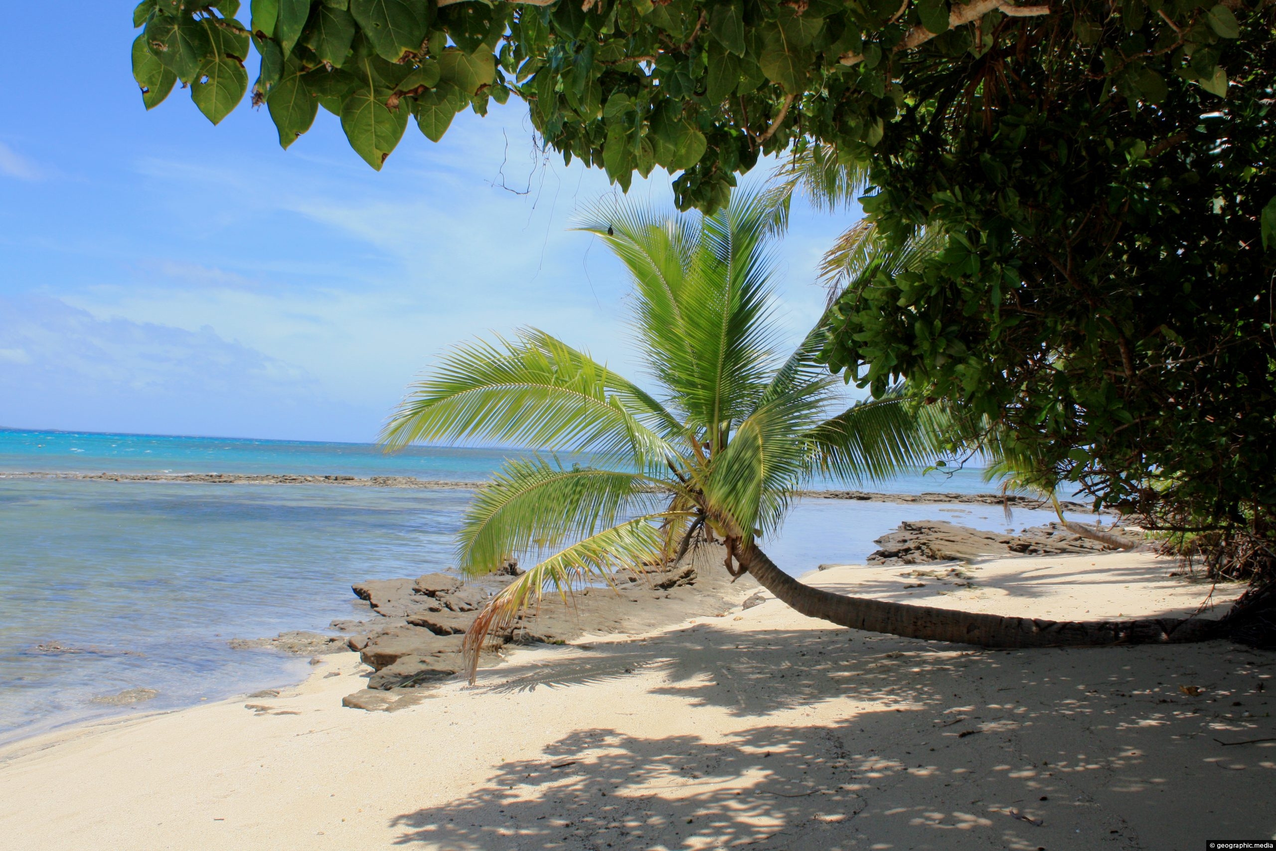
Palm Tree on Fafa Island Tonga
Fafa Island photos, Beaches, Islands, Landscape / Horizontal, Palms, Sea, TreesA palm tree leaning over a beach on Tonga’s Fafa Island. While palms naturally grow upright, this tree appears...
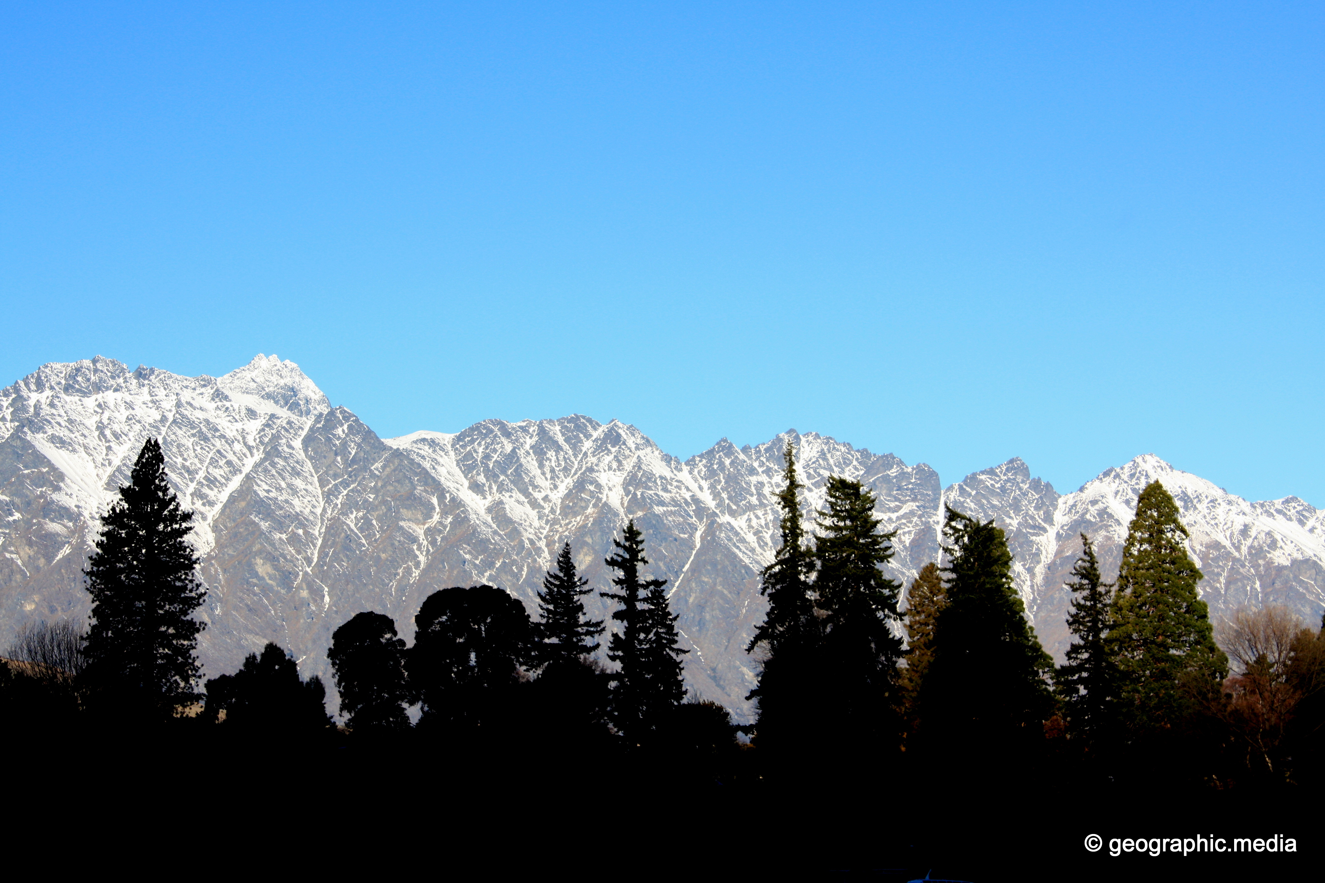
Trees on Lake Wakatipu silhouetted against the Remarkables mountain range in Queenstown, New Zealand.
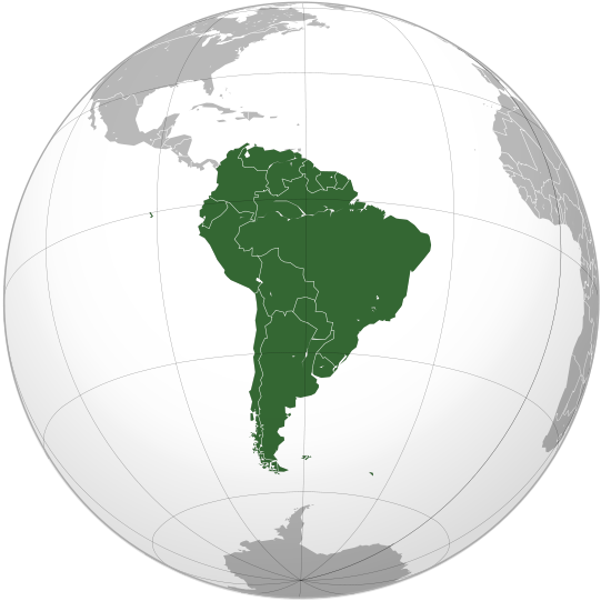
Extremities of the South American continent starting in the north with Colombia and Argentina in the south with the...
Stunning footage from Ecuador. Ecuador is called ‘The Land of Ice and Fire’ because of the abundance of snow...
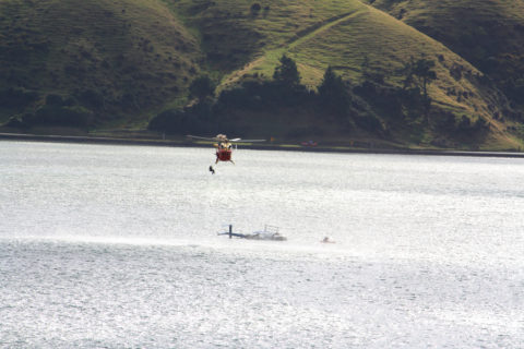
A rescue is underway when a helicopter plunged into Pauatahanui Inlet in Porirua Harbour, north of Wellington. The rescue...
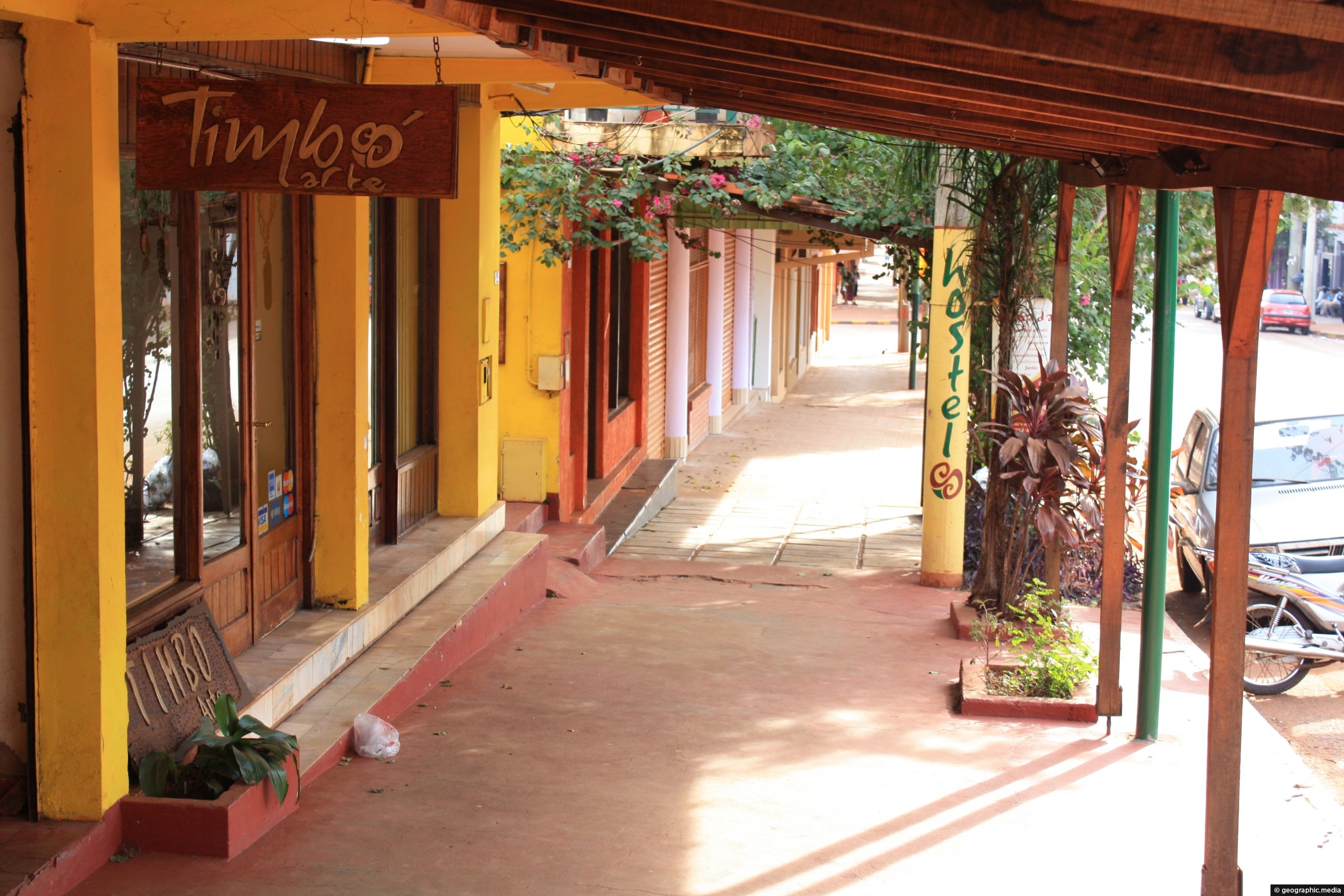
Typical street in Puerto Iguazú
Puerto Iguazú photos, Buildings, Landscape / Horizontal, Roads, TownsView of a some local shops and restaurants that mainly cater for tourists wanting to visit Iguazú Falls in...
Calendar
| M | T | W | T | F | S | S |
|---|---|---|---|---|---|---|
| 1 | 2 | 3 | 4 | |||
| 5 | 6 | 7 | 8 | 9 | 10 | 11 |
| 12 | 13 | 14 | 15 | 16 | 17 | 18 |
| 19 | 20 | 21 | 22 | 23 | 24 | 25 |
| 26 | 27 | 28 | 29 | 30 | 31 | |
Popular Posts
- Awakening New Zealand video (100)
- Iguazu Falls as seen from Brazil (87)
- Metrocable Medellin (78)
- Pauatahanui Inlet (69)
- Spinnaker Hill View (68)
- Spinnaker Hill in Whitby Porirua (68)
- View from Whitby (68)
- The Devil’s Throat (62)
- Aerial View of Iguazu Falls (61)
- Porirua Harbour & Papakowhai (57)
- Lake Wakatipu (57)
- Salto Rivadavia & Iguassu River (56)
- Lake Tekapo & Lupins (54)
- Nelson View (53)
- Salto Rivadavia Misiones Province (53)
- Cascadas at Iguazu (53)




Recent Comments