
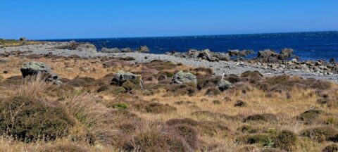
A view of the rugged coastline and native vegetation on the southern North Island, specifically in Wainuiomata. This section...
South Coast & Coastal Vegetation

This trail through a palms forest eventually leads to the mountainous interior of Providencia Island. The highest peak on...
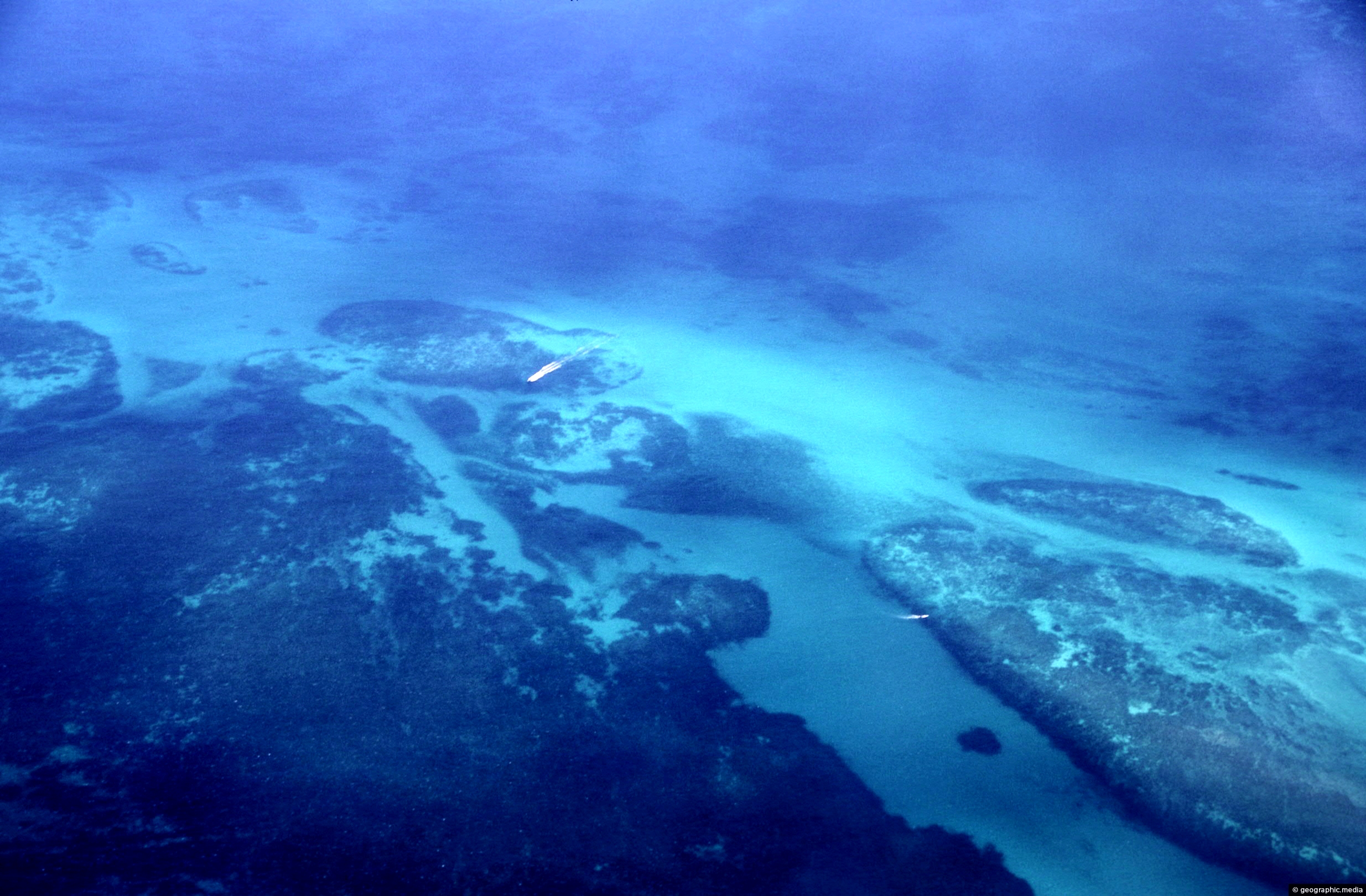
The Mesoamerican Barrier Reef System is over 1000 km (621 mi) long. Running along the coast of Belize it...

Corals protruding out of the silica white sand at Ha’aluma Beach on Eua Island, Tonga.

Autopista Norte (North Highway) is a major highway in Bogotá, Colombia. It connects the northern part of the city...
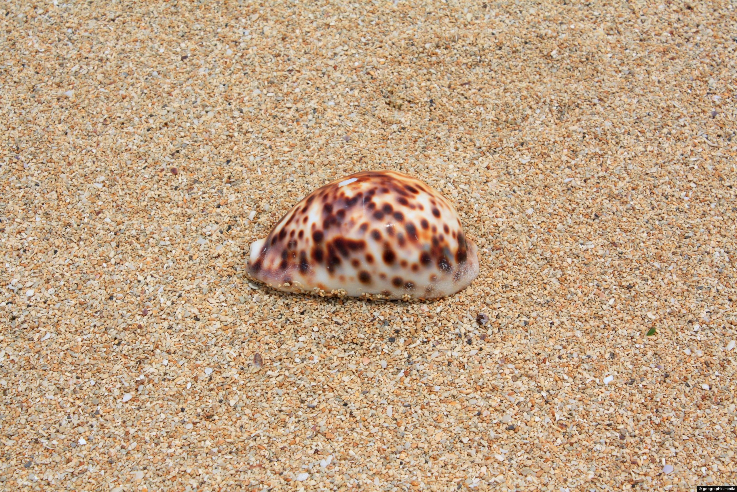
View of a large shell on the island of Atata in Tonga. Atata is part of the Tongatapu Group...
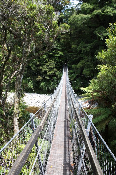
View of the swing bridge at the Rivendell carpark in Kaitoke Regional Park near Upper Hutt. The bridge takes...
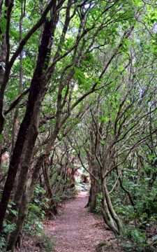
View of a typical walking trail in Catchpool Valley, located at the foothills of the Remutaka Range, in Wainuiomata.

The historic Coast Road Church in Wainuiomata is one of the valley’s oldest surviving buildings and the oldest original...

Souvenirs at Talamahu Market in the capital city of Nuku’alofa in Tonga. The market mainly sells fruit and vegetables,...

Children and their typical home in a small settlement in the Amazon. Houses are mostly made of wood given...

Usaquén is a neighborhood in the north of Bogotá, the capital city of Colombia. It is known for its...

Recent Comments