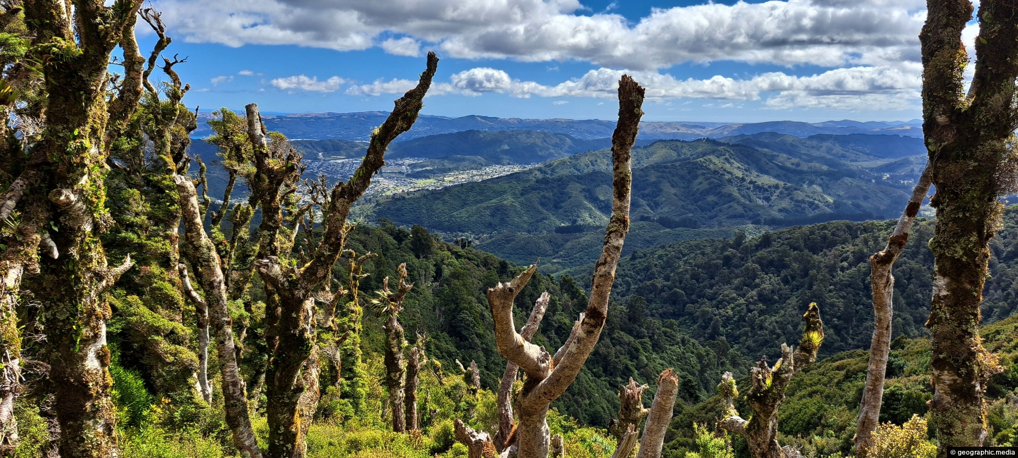
View from the top of Whakanui Track along a ridgeline, before it connects to the McKerrow Track. Wainuiomata can be seen to the left.
Click Jigshare icon to turn the image into a jigsaw. Or click on photo to download or view full screen image.

View from the top of Whakanui Track along a ridgeline, before it connects to the McKerrow Track. Wainuiomata can be seen to the left.
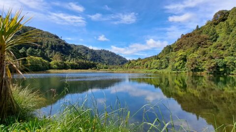
Wetlands in Wainuiomata within Wainuiomata Regional Park. The wetlands was once a dam that supplied water to Wellington. It...
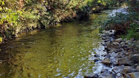
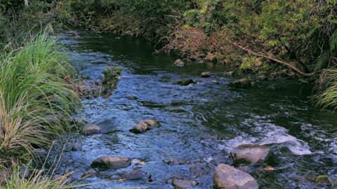
Looking at a section of the upper Wainuiomata River flowing along the base of the southern hillside in Reservoir...
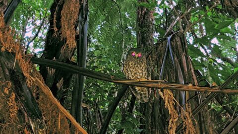
Observing a morepork (ruru), commonly referred to as the brown owl. Indigenous to New Zealand and Norfolk Island, this...
The view of Wainuiomata River near Sledge Track Pool, a natural swimming area. About 100 metres upstream from here,...
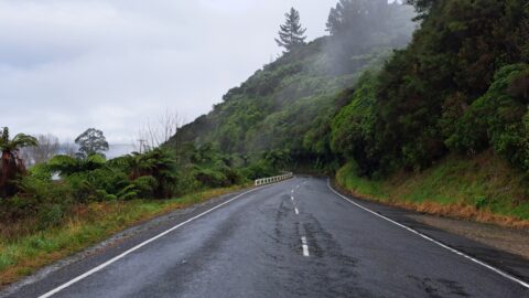
Moores Valley Road on a misty winter’s day in Wainuiomata presents a picturesque scene. One of the oldest roads...
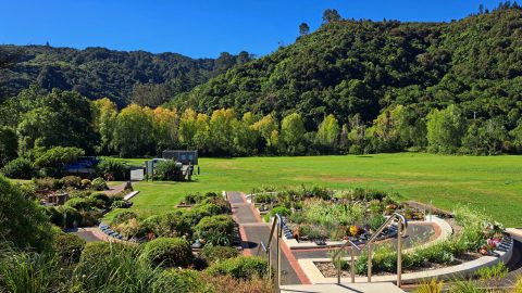
The Wainuiomata Garden of Remembrance is a modern memorial cemetery located at the end of Hine Road in Wainuiomata,...
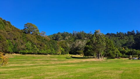
Hine Road Recreation Area, formerly referred to as The Meadow by some, it comprised paddocks hosting grazing horses during...
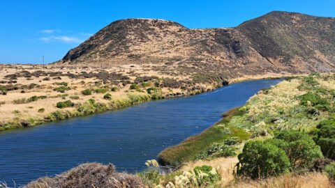
View of the lower reaches of Wainuiomata River in New Zealand’s Wellington Region. The upper reaches of this river...
