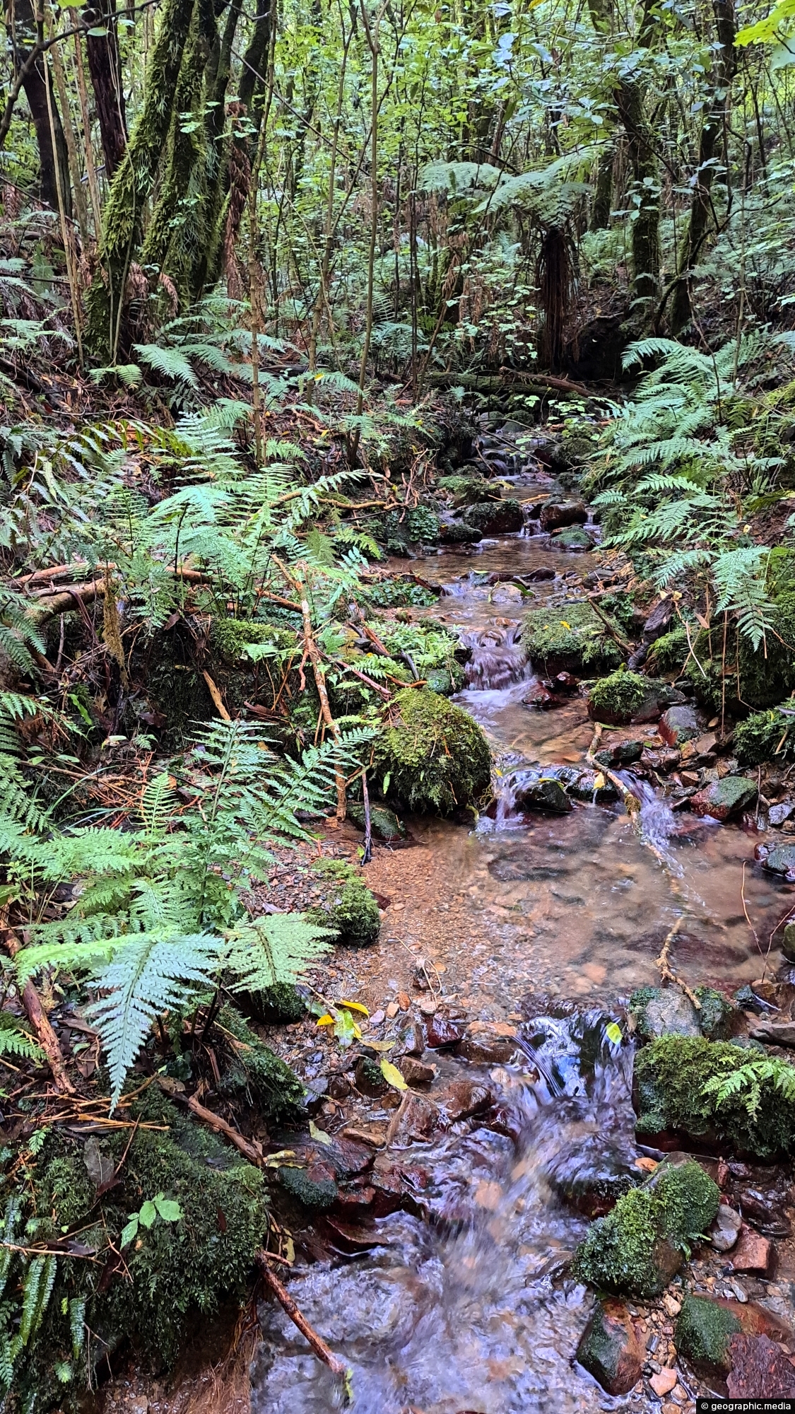
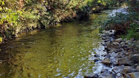
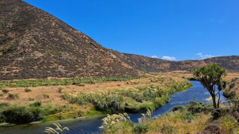
There are numerous unnamed creeks and streams in Wainuiomata Regional Park that feed into the Wainuiomata River including this one in the bush that surrounds Gums Loop Walk.
ALL / Explore Oceania / Explore New Zealand / New Zealand Photos / Wainuiomata photos / Unnamed Creek in Wainuiomata Regional Park
All original royalty-free photos, shareable maps, and informative articles.
Unnamed Creek in Wainuiomata Regional Park
Page Views
This post has been viewed 238 times
Related Articles
-
Wainuiomata River Lower Reaches
Wainuiomata photos, Extra Wide Horizontal, Rivers
View of the lower reaches of Wainuiomata River in New Zealand’s Wellington Region. The upper reaches of this river...
-
Shingle Fan
Wainuiomata photos, Extra Wide Horizontal, Mountains
This shingle fan reveals a massive accumulation of scree cascading from the hillside, spreading out in a fan-like shape...
-
Upper Reaches of the Wainuiomata River
Wainuiomata photos, Extra Wide Horizontal, Forests, Rivers
Looking at the upper reaches of the Wainuiomata River at the foothills of the Remutaka range. Access to here...
-
Wainuiomata Historical Museum
Wainuiomata photos, Extra Wide Horizontal, Mountains, Parks
Looking at one of the rooms in the Wainuiomata Museum that displays artefacts from the past as well as...
-
Parched Farmland in Wainuiomata
Wainuiomata photos, Extra Wide Horizontal, Roads, Rural
Gazing upon parched farmland during the summer months, situated along the Coast Road in Wainuiomata, New Zealand.
-
Whakanui Track View
Wainuiomata photos, Cities, Extra Wide Horizontal, Forests, Mountains
View from the top of Whakanui Track along a ridgeline, before it connects to the McKerrow Track. Wainuiomata can...
-
Remains of a Power Generator
Wainuiomata photos, Extra Wide Horizontal, Forests
These remnants are believed to be part of a power generator that was used during the construction of the...
-
Wetlands in Wainuiomata
Wainuiomata photos, Extra Wide Horizontal, Forests, Wetlands
The suburb of Wainuiomata was largely comprised of swamp. in 1855 a massive 8.2 earthquake raised much land above...
0 Comments
Calendar
M | T | W | T | F | S | S |
---|---|---|---|---|---|---|
1 | 2 | |||||
3 | 4 | 5 | 6 | 7 | 8 | 9 |
10 | 11 | 12 | 13 | 14 | 15 | 16 |
17 | 18 | 19 | 20 | 21 | 22 | 23 |
24 | 25 | 26 | 27 | 28 |
Popular Posts
- Awakening New Zealand video (100)
- Iguazu Falls as seen from Brazil (87)
- Metrocable Medellin (78)
- Pauatahanui Inlet (69)
- Spinnaker Hill View (68)
- Spinnaker Hill in Whitby Porirua (68)
- View from Whitby (68)
- The Devil’s Throat (62)
- Aerial View of Iguazu Falls (61)
- Porirua Harbour & Papakowhai (57)
- Lake Wakatipu (57)
- Salto Rivadavia & Iguassu River (56)
- Lake Tekapo & Lupins (54)
- Nelson View (53)
- Salto Rivadavia Misiones Province (53)
- Cascadas at Iguazu (53)
Subjects
AccommodationAnimalsArchitectureBeachesBirdsBoatsBridgesBuildingsCarsChurchesCitiesCoralCultureExtra Wide HorizontalFlowersForestsHarborsHomesIslandsLakesLandscape / HorizontalMapsMenMonumentsMountainsPalmsParksPeoplePlantsPortrait / VerticalRiversRoadsRuralSeaShopsSkyscrapersSnowSunsetsTownsTrailsTransportTreesVideosVolcanicWaterfalls
Recent Comments
- Lance on Concrete Hut Wainuiomata
- Tony on Concrete Hut Wainuiomata
- DavidJ on Wellington Night Skyline
- Ben on Auckland City Skyline from Westhaven Marina in 1998
- Ben on Auckland Harbour Bridge view