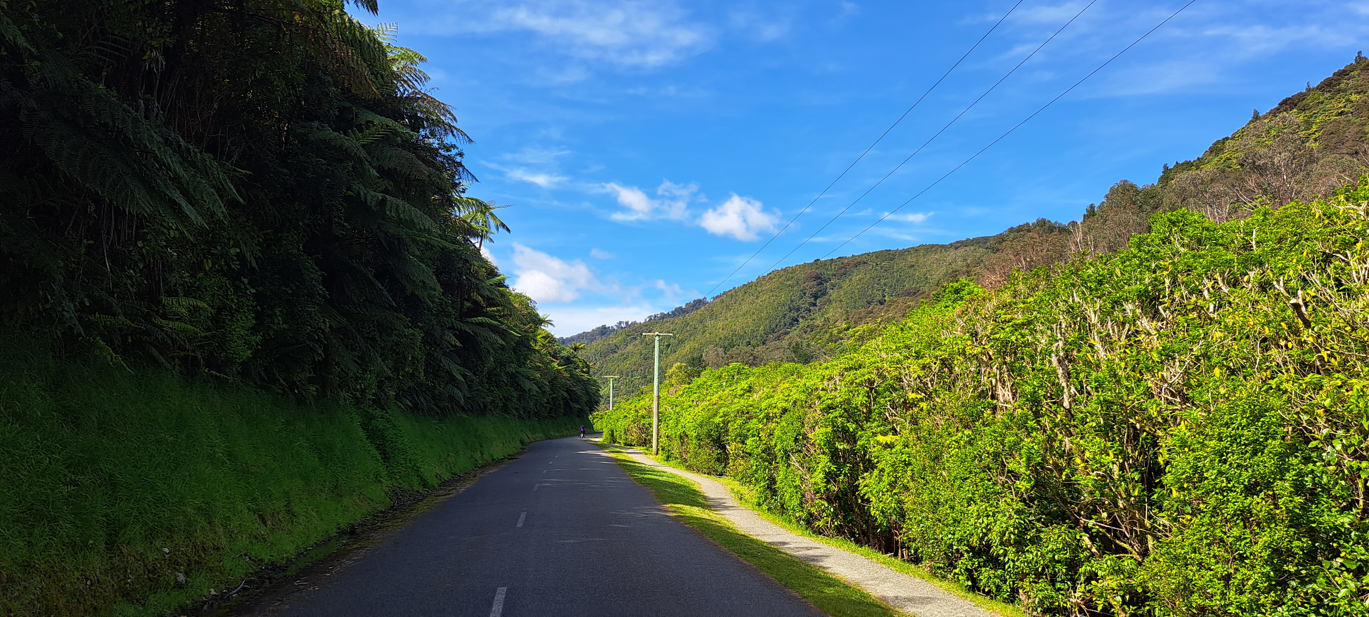
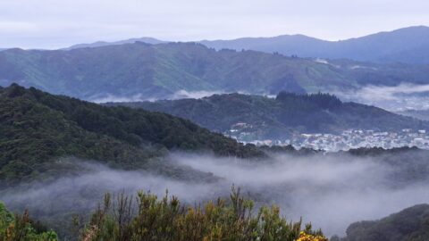
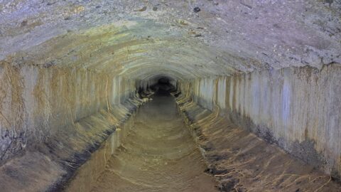
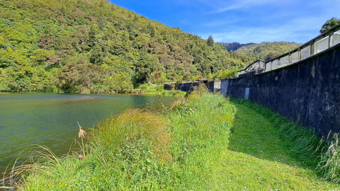
Reservoir Road in the Wainuiomata Waterworks Recreation Area gives you access to the dams and many walks in the area. Other areas are restricted such as the larger dam which is still in use and a tunnel that goes into the Ōrongorongo Valley.
ALL / Explore Oceania / Explore New Zealand / New Zealand Photos / Wainuiomata photos / Reservoir Road in Wainuiomata
All original royalty-free photos, shareable maps, and informative articles.
Reservoir Road in Wainuiomata
Page Views
This post has been viewed 556 times
Related Articles
-
Autumn at Wainuiomata River
Wainuiomata photos, Portrait / Vertical, Rivers
Wainuiomata River surrounded by Autumn colors. This view can be seen from Hine Road Recreation Area at the end...
-
Wainuiomata Lower Dam
Wainuiomata photos, Extra Wide Horizontal, Forests, Wetlands
View of the decommissioned Wainuiomata Lower Dam (named Morton Dam). This dam once supplied water to Wellington along with...
-
Wainuiomata River and Regional Park
Wainuiomata photos, Extra Wide Horizontal, Mountains, Rivers
Looking at Wainuiomata River within Wainuiomata Regional Park. Also in view is the Remutaka mountain range.
-
Turakirae Head Scientific Reserve
Wainuiomata photos, Beaches, Extra Wide Horizontal
Turakirae Head Scientific Reserve located on the southern coast of Wainuiomata in New Zealand, is renowned for its geological...
-
Waterworks Wetland
Wainuiomata photos, Extra Wide Horizontal, Forests, Wetlands
The Wainuiomata Waterworks Wetlands are part of the Wainuiomata Regional Park, which encompasses lowland native forests and adjoins the...
-
Wainuiomata Historical Museum
Wainuiomata photos, Extra Wide Horizontal, Mountains, Parks
Looking at one of the rooms in the Wainuiomata Museum that displays artefacts from the past as well as...
-
Coast Road Wainuiomata
Wainuiomata photos, Extra Wide Horizontal, Roads
Looking at the southern end of the Coast Road in Wainuiomata as you head to the south coast. It’s...
-
Underground Shaft in Wainuiomata
Wainuiomata photos, Extra Wide Horizontal, Tunnels
This underground shaft in Wainuiomata was originally constructed in the 1880s. It was abandoned 1899 and is now completely...
0 Comments
Calendar
M | T | W | T | F | S | S |
---|---|---|---|---|---|---|
1 | 2 | |||||
3 | 4 | 5 | 6 | 7 | 8 | 9 |
10 | 11 | 12 | 13 | 14 | 15 | 16 |
17 | 18 | 19 | 20 | 21 | 22 | 23 |
24 | 25 | 26 | 27 | 28 | 29 | 30 |
31 |
Popular Posts
- Awakening New Zealand video (100)
- Iguazu Falls as seen from Brazil (87)
- Metrocable Medellin (78)
- Pauatahanui Inlet (69)
- Spinnaker Hill View (68)
- Spinnaker Hill in Whitby Porirua (68)
- View from Whitby (68)
- The Devil’s Throat (62)
- Aerial View of Iguazu Falls (61)
- Porirua Harbour & Papakowhai (57)
- Lake Wakatipu (57)
- Salto Rivadavia & Iguassu River (56)
- Lake Tekapo & Lupins (54)
- Nelson View (53)
- Salto Rivadavia Misiones Province (53)
- Cascadas at Iguazu (53)
Subjects
AccommodationAnimalsArchitectureBeachesBirdsBoatsBridgesBuildingsCarsChurchesCitiesCoralCultureExtra Wide HorizontalFlowersForestsHarborsHomesIslandsLakesLandscape / HorizontalMapsMenMonumentsMountainsPalmsParksPeoplePlantsPortrait / VerticalRiversRoadsRuralSeaShopsSkyscrapersSnowSunsetsTownsTrailsTransportTreesVideosVolcanicWaterfalls
Recent Comments
- Lance on Concrete Hut Wainuiomata
- Tony on Concrete Hut Wainuiomata
- DavidJ on Wellington Night Skyline
- Ben on Auckland City Skyline from Westhaven Marina in 1998
- Ben on Auckland Harbour Bridge view