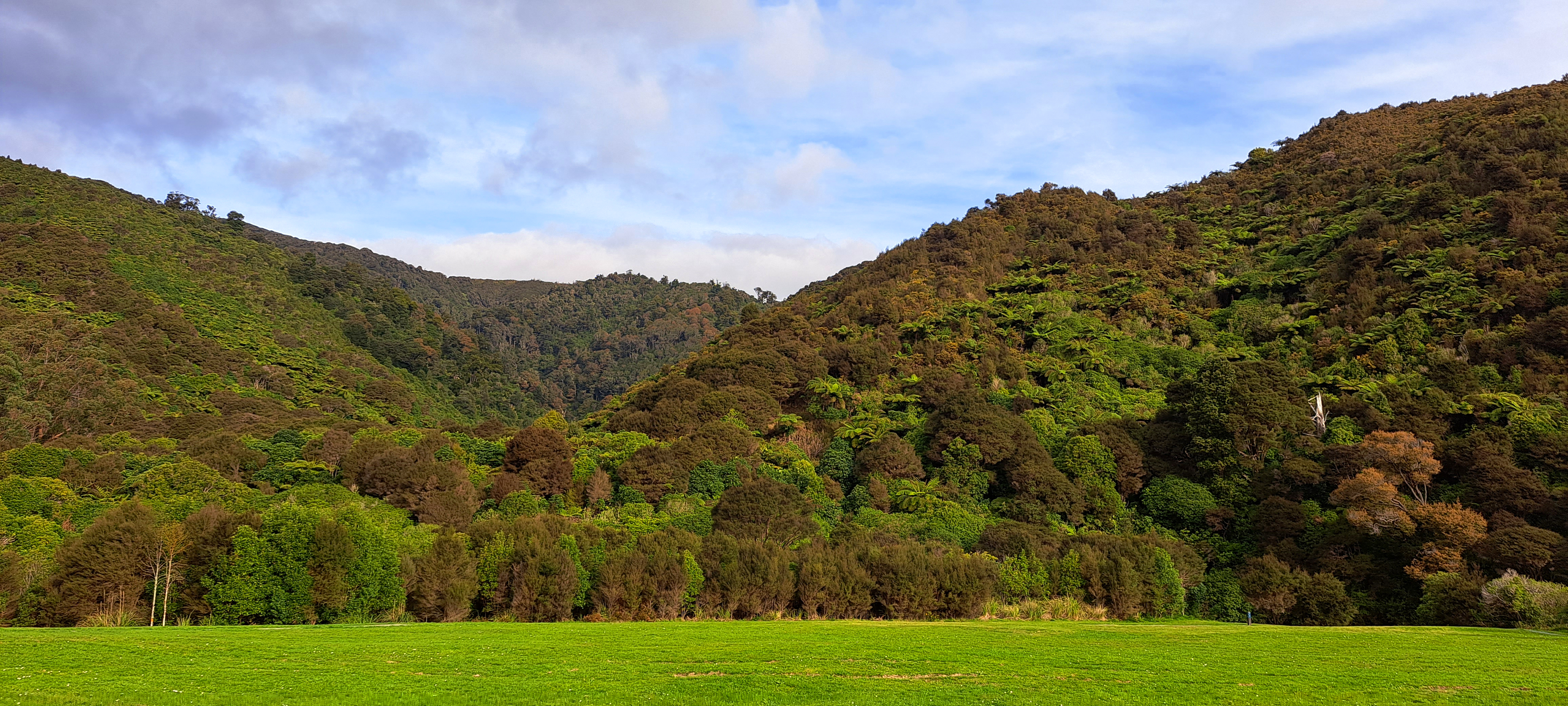
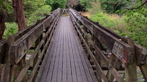
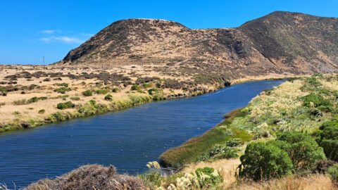
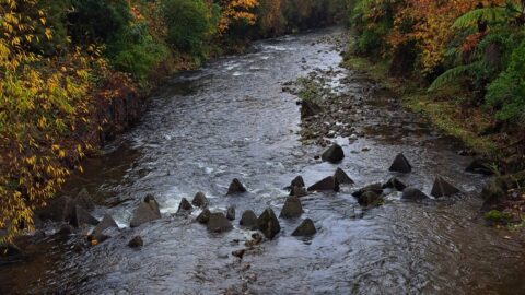
Looking at the foothills of the Remutaka Range in Wainuiomata. This location is near the Wainuiomata River and offers great swimming areas and walking tracks. The original Whakanui Track to the Ōrongorongo Valley once started here.
ALL / Explore Oceania / Explore New Zealand / New Zealand Photos / Wainuiomata photos / Remutaka Foothills in Wainuiomata
All original royalty-free photos, shareable maps, and informative articles.
Remutaka Foothills in Wainuiomata
Page Views
This post has been viewed 788 times
Related Articles
-
View of Wainuiomata
Wainuiomata photos, Aerial, Extra Wide Horizontal, Mountains, Towns
View of Wainuiomata as seen from the lookout at the top of Wainuiomata Hill. A car park at the...
-
Ultimate Pool in Wainuiomata River
Wainuiomata photos, Extra Wide Horizontal, Forests, Rivers
Ultimate Pool is further up Wainuiomata River from Top Pool. Access is gained via Reservoir Road or Gums Loop...
-
Ōrongorongo River
Wainuiomata photos, Extra Wide Horizontal, Mountains, Rivers
The Ōrongorongo River is a prominent waterway in the Wellington region of New Zealand, flowing from the Rimutaka Ranges...
-
Morton Dam in Wainuiomata
Wainuiomata photos, Dams
Looking at Morton Dam in the year 2024, after being decommissioned some 36 years before. It once supplied the...
-
Wainuiomata River Lower Reaches
Wainuiomata photos, Extra Wide Horizontal, Rivers
View of the lower reaches of Wainuiomata River in New Zealand’s Wellington Region. The upper reaches of this river...
-
View of Wainuiomata from the Remutaka
Wainuiomata photos, Mountains, Portrait / Vertical, Trees
Looking down on Wainuiomata Valley from atop the Remutaka Range near Mt McKerrow in the southern North Island. Wellington...
-
Old Shed and Machine Parts at the Waterworks Museum
Wainuiomata photos, Extra Wide Horizontal, Forests
Looking at a shed that housed a machine that aided in supplying water to the Wellington region. Today this...
-
Eastern Edge of the Remutaka Range
Wainuiomata photos, Extra Wide Horizontal, Mountains
This view captures the eastern edge of the Remutaka Range in Palliser Bay, which can be accessed either via...
0 Comments
Calendar
M | T | W | T | F | S | S |
---|---|---|---|---|---|---|
1 | 2 | 3 | 4 | |||
5 | 6 | 7 | 8 | 9 | 10 | 11 |
12 | 13 | 14 | 15 | 16 | 17 | 18 |
19 | 20 | 21 | 22 | 23 | 24 | 25 |
26 | 27 | 28 | 29 | 30 | 31 |
Popular Posts
- Awakening New Zealand video (100)
- Iguazu Falls as seen from Brazil (87)
- Metrocable Medellin (78)
- Pauatahanui Inlet (69)
- Spinnaker Hill in Whitby Porirua (68)
- Spinnaker Hill View (68)
- View from Whitby (68)
- The Devil’s Throat (62)
- Aerial View of Iguazu Falls (61)
- Porirua Harbour & Papakowhai (57)
- Lake Wakatipu (57)
- Salto Rivadavia & Iguassu River (56)
- Lake Tekapo & Lupins (54)
- Nelson View (53)
- Salto Rivadavia Misiones Province (53)
- Cascadas at Iguazu (53)
Subjects
AccommodationAnimalsArchitectureBeachesBirdsBoatsBridgesBuildingsCarsChurchesCitiesCoralCultureExtra Wide HorizontalFlowersForestsHarborsHomesIslandsLakesLandscape / HorizontalMapsMenMonumentsMountainsPalmsParksPeoplePlantsPortrait / VerticalRiversRoadsRuralSeaShopsSkyscrapersSnowSunsetsTownsTrailsTransportTreesVideosVolcanicWaterfalls
Recent Comments
- Lance on Concrete Hut Wainuiomata
- Tony on Concrete Hut Wainuiomata
- DavidJ on Wellington Night Skyline
- Ben on Auckland City Skyline from Westhaven Marina in 1998
- Ben on Auckland Harbour Bridge view