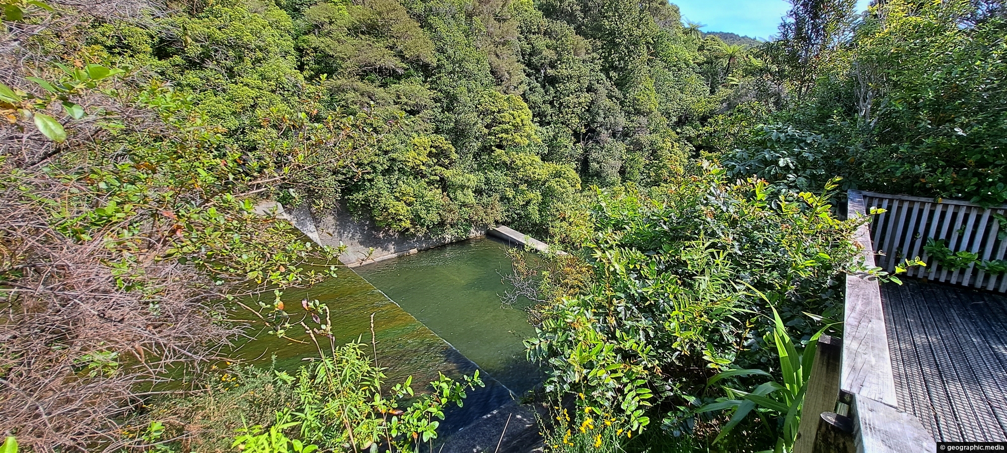
View of the spillway and lookout. The Wainuiomata River is channeled from a wetland, continuing its course beneath as a flowing river.
Click Jigshare icon to turn the image into a jigsaw. Or click on photo to download or view full screen image.

View of the spillway and lookout. The Wainuiomata River is channeled from a wetland, continuing its course beneath as a flowing river.
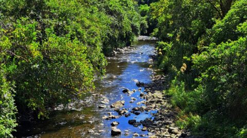
Wainuiomata River as it passes through Hine Road Recreation Area in Wainuiomata. This is an important recreational asset as...
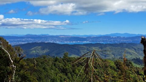
From the peaks of Wainuiomata Regional Park the views are astounding. You can see Wellington Harbour and the city.
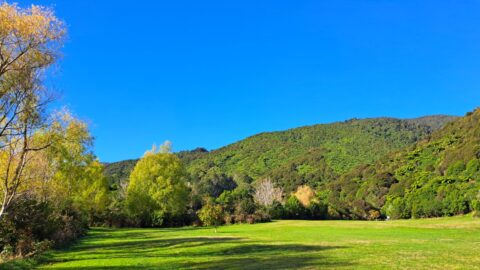
What was once called The Meadow is now Hine Road Recreation Area, a grassy area that sits alongside Wainuiomata...
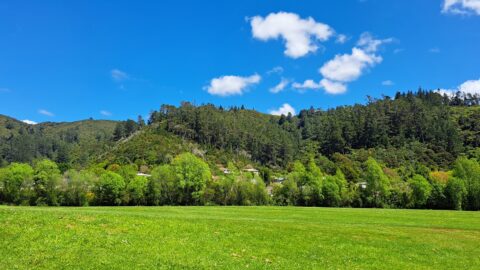
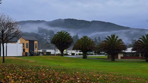
A sunny day at Richard Prouse Park in Wainuiomata looking toward Hine Road and Sunny Grove. The hills are...
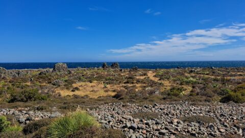
This view shows rocks that once formed the coastline prior to the 1855 Wairarapa earthquake. The powerful 8.2 magnitude...
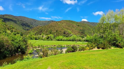
Looking at Wainuiomata River within Wainuiomata Regional Park. Also in view is the Remutaka mountain range.
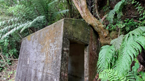
A concrete hut located along a once accessible track above Reservoir Road near the car park, is now concealed...
Observing Queen Street Reserve in the fall, you’ll find a charming oasis nestled in the heart of the Wainuiomata...
