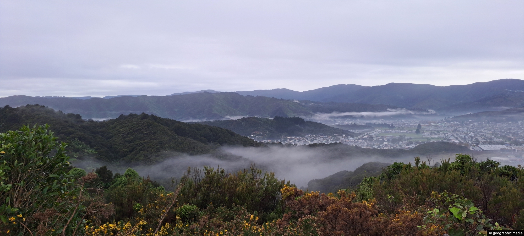
Mist over the Wainuiomata Basin and surrounding hills. Photo taken from the western hills between Wainuiomata and the rest of Lower Hutt.
Click image for fullscreen.

Mist over the Wainuiomata Basin and surrounding hills. Photo taken from the western hills between Wainuiomata and the rest of Lower Hutt.
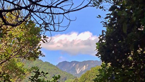
View of Clay Ridge as seen from the Five Mile Loop Track in Remutaka Forest Park, Wainuiomata, with the...
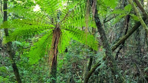
View of black tree ferns in the Remutaka forest. Known by its botanical name as Cyathea medullaris, it is...
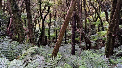
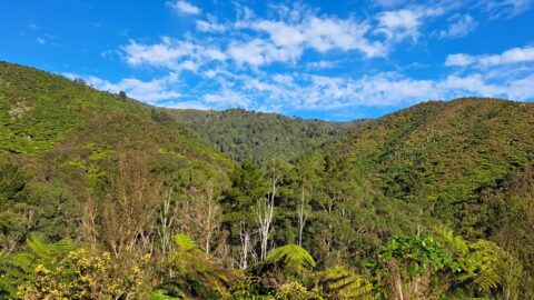
Lush forest covers the hills around Skerretts Creek in Wainuiomata. The slopes here are part of the Remutaka Mountains...
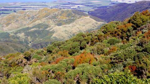
Looking at the eastern foothills of the Remutaka range with the Wairarapa region below. Lake Wairarapa can be seen...
The McKerrow Track rises up the ridge in the center of the photo then along other ridges behind this...
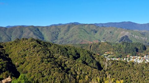
Gazing at the hills of Wainuiomata, with the Remutaka Range serving as a scenic backdrop. Wainuiomata is divided from...
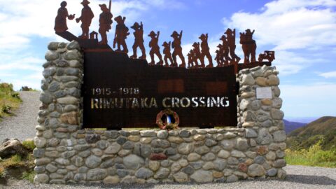
In honor of the soldiers who left for World War I from the Featherston Military Camp, a unique commemorative...
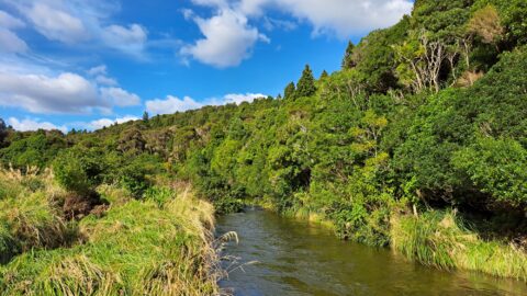
View of the upper reaches of the Wainuiomata River at the foothills of the Remutaka mountain range in the...