
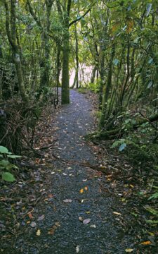
Sledge Track Creek in Wainuiomata is a one and a half hour walk in Wainuiomata Regional Park. It offers...
May, 2024
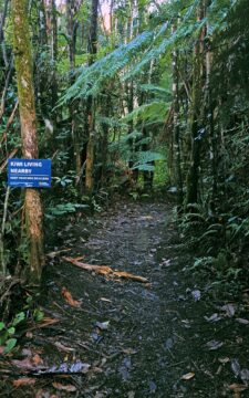
Sledge Track Creek in Wainuiomata is a habitat for kiwi, New Zealand’s national bird. These flightless and endangered birds...
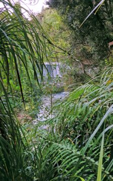
This view of Lower Dam requires a bush bash through a temperate rainforest on the southside of Wainuiomata River.
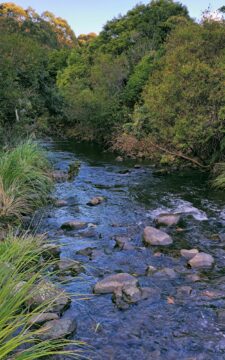
The view of Wainuiomata River near Sledge Track Pool, a natural swimming area. About 100 metres upstream from here,...
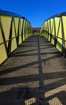
Pukeatua Bridge in Wainuiomata crosses Wainuiomata Road at its highest point, 189 meters above sea level. This places the...
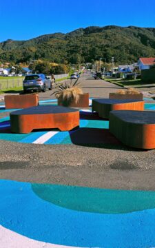
View of Rata Street in Wainuiomata looking south. This seating area is close to a public walkway that takes...
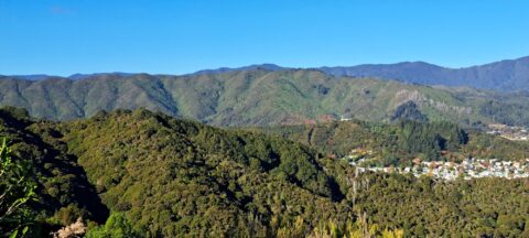
Looking at the Eastern Hutt Hills with the Remutaka Range behind. The houses you can see are located in...
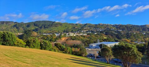
Observing the distant houses from the field at Tawa College, situated within the Wellington suburb of Tawa.
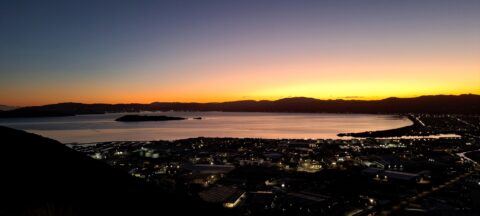
The vantage point at Wainuiomata Roads’ summit showcases some amazing sunsets over Seaview and Wellington Harbour.
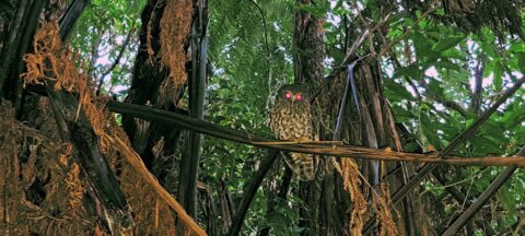
Observing a morepork (ruru), commonly referred to as the brown owl. Indigenous to New Zealand and Norfolk Island, this...
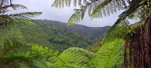
The sight from the summit of the western slope arm overlooks Nikau Creek Valley. On the opposing slope lies...
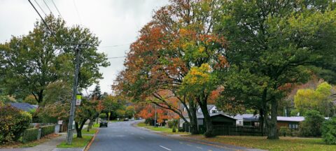
Hine Road street trees out on quite the show during autumn. The region where this street lies was once...


Recent Comments