
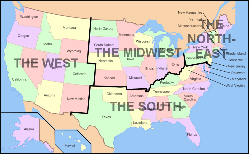
Map showing the four main regions of mainland USA and associated states The regions are: The West, The Midwest,...
Maps
About
World Maps
All free to use maps of continents and countries from around the world.
Included are Google Maps, Street View, and custom interactive maps. Further, we have maps highlighting: locations, geography, topography, climate, and more. All maps are free to download, use, and share.
Maps by Country
Argentina
Australia
Brazil
Canada
Colombia
Ecuador
France
New Caledonia
New Zealand
Norway
Tonga
USA
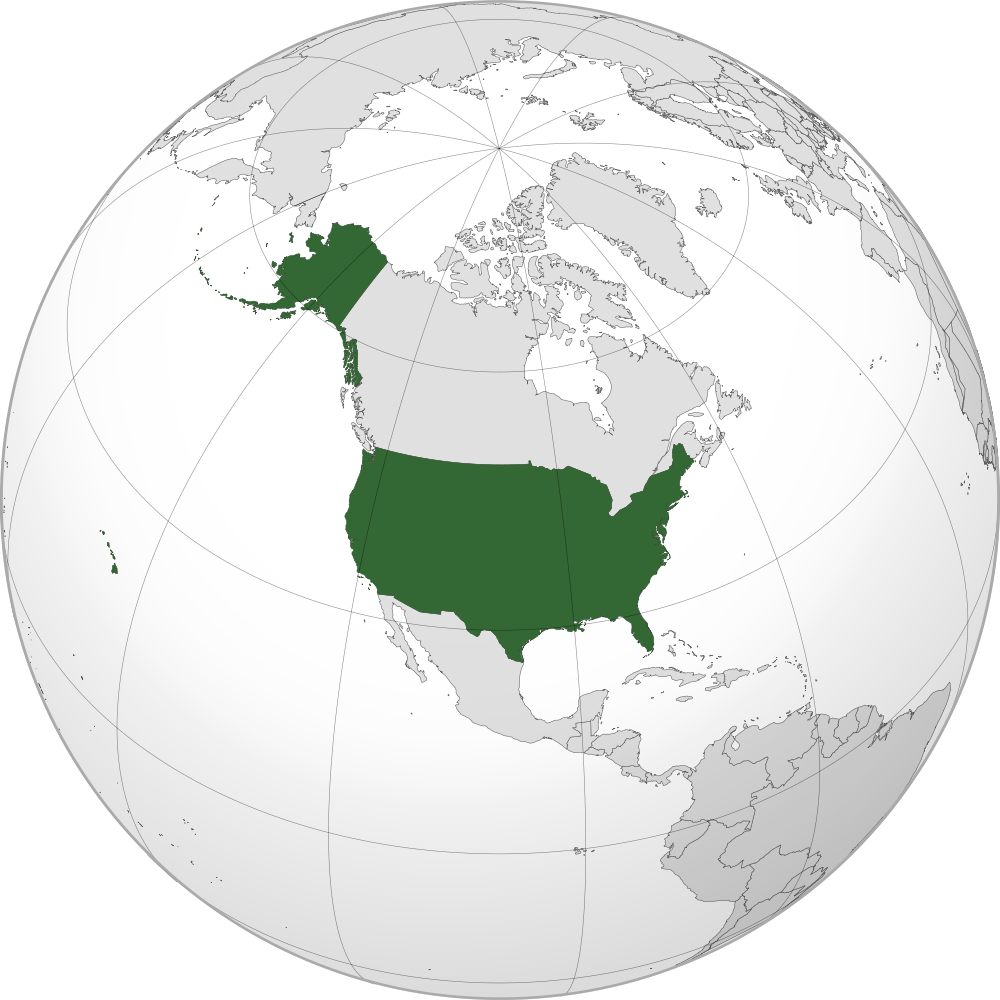
Location of the USA on the globe The USA is bordered by Canada in two different locations including the...
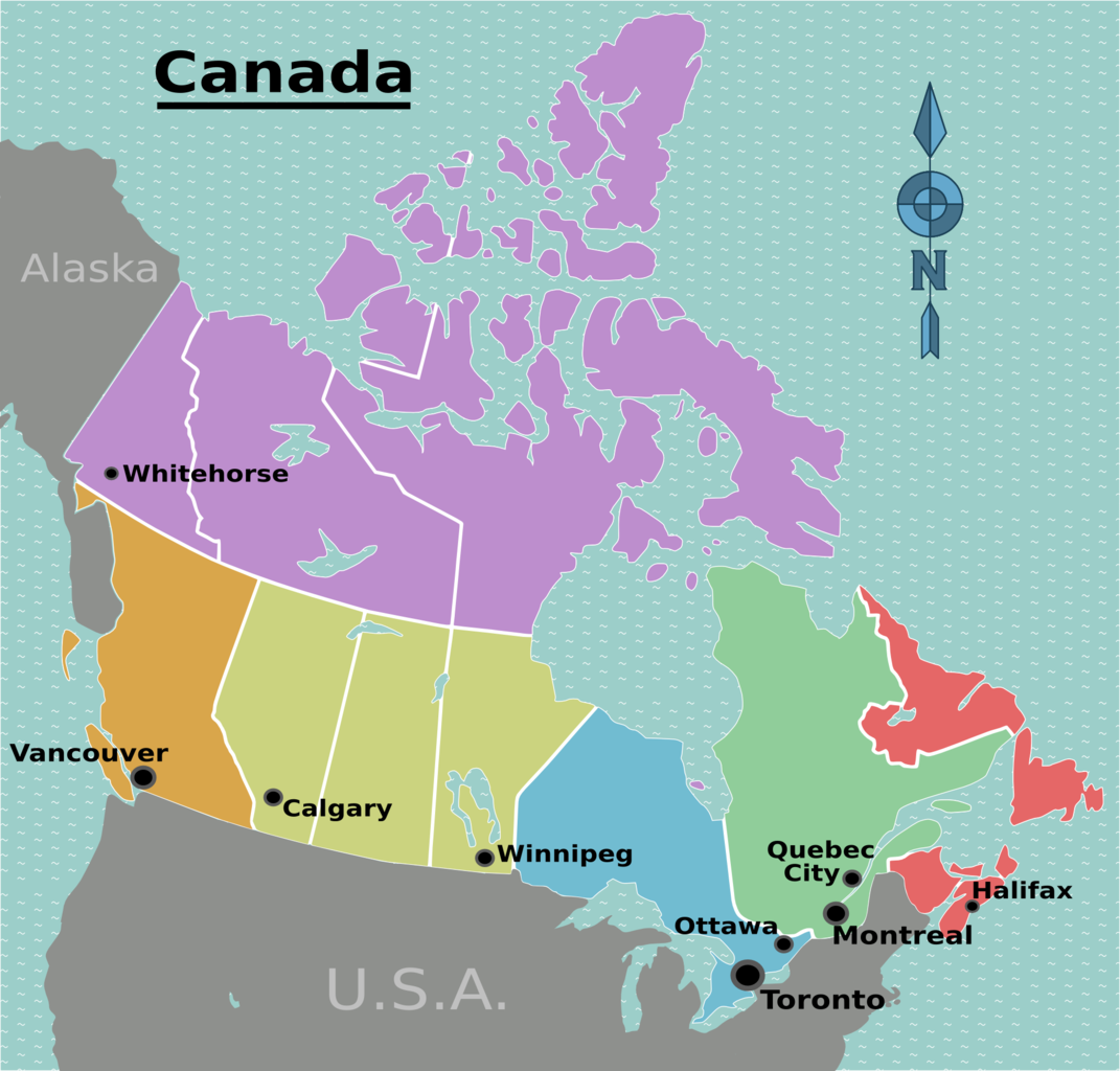
Canada is divided into six regions, each containing one or more provinces or territories. This map also shows major...
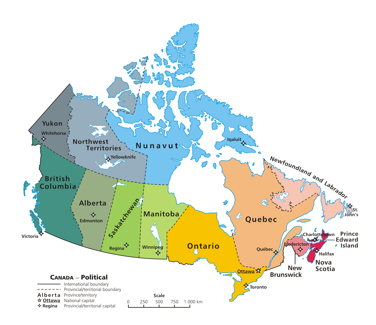
Canada is a federation of ten provinces and three territories. These provinces and territories are further grouped into six...
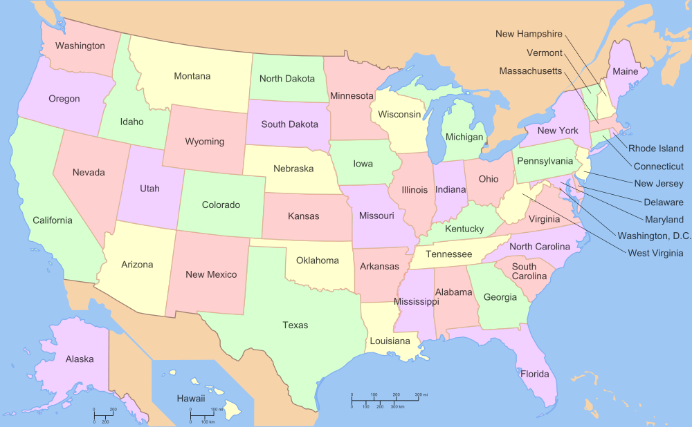
Map showing the states of the USA with all states listed below in alphabetical order. Alabama Alaska Arizona Arkansas...
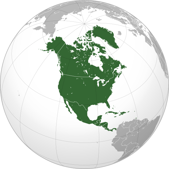
North America includes Canada in the north down to Panama in the south. The whole continent resides in the...
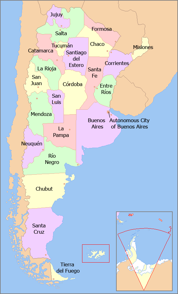
Argentina is made up of 23 provinces and one autonomous city, Buenos Aires, the capital city. Each province and...
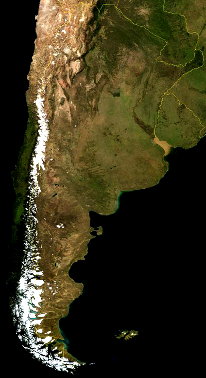
A satellite view of Argentina in South America. The Andes can be clearly seen because of snow.
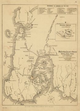
Shown here is the 1916 Wellington Country District map, which includes a detailed index highlighting a wide range of...

Recent Comments