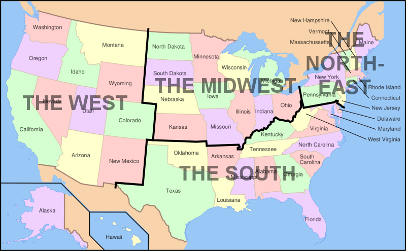
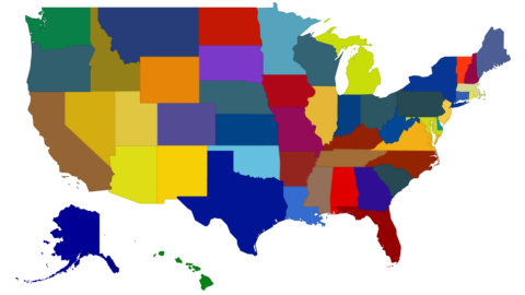
Map showing the four main regions of mainland USA and associated states
The regions are:
- The West,
- The Midwest,
- The South,
- The Northeast.
Alaska and Hawaii are not included as they lie outside the mainland.

The regions are:
Alaska and Hawaii are not included as they lie outside the mainland.
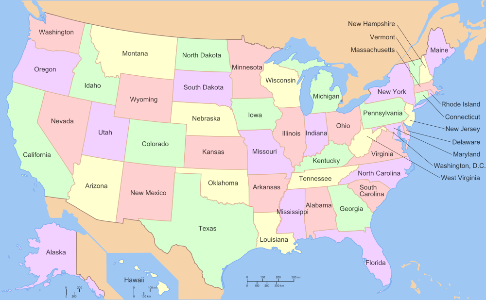
Map showing the states of the USA with all states listed below in alphabetical order. Alabama Alaska Arizona Arkansas...
USA map showing landscapes, cities, towns, & streets OK View Larger Map Try out our interactive Google Map of...
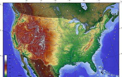
Relief map of the USA. The map is color coded to show high and low elevations in meters
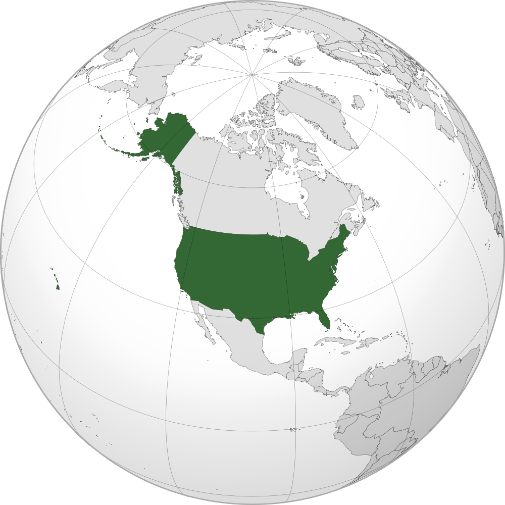
Location of the USA on the globe The USA is bordered by Canada in two different locations including the...
Hover over this state map of the United States to learn something new about each state. There are fifty...


Maryland and Delaware are NOT part of the Southern States.