
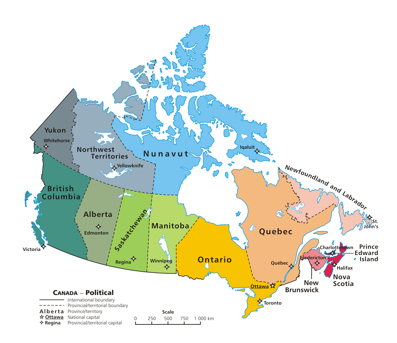
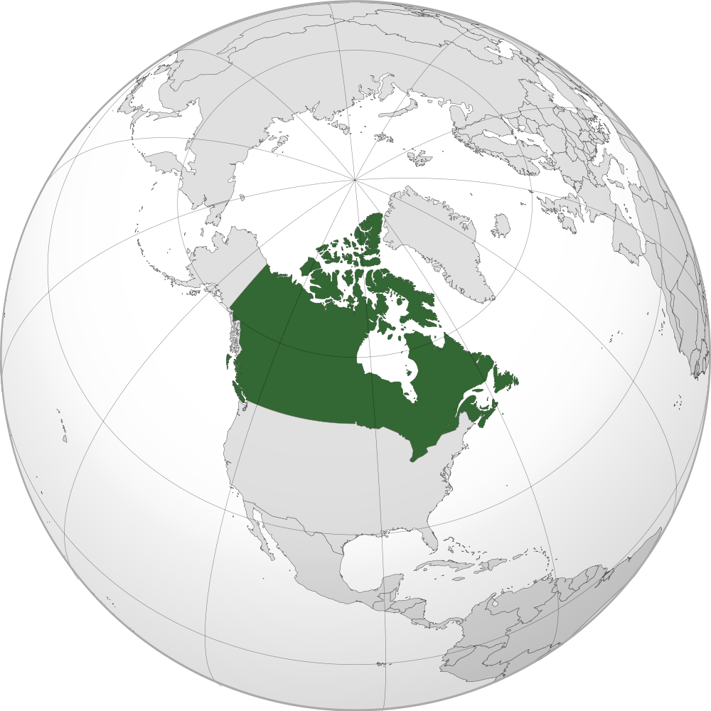
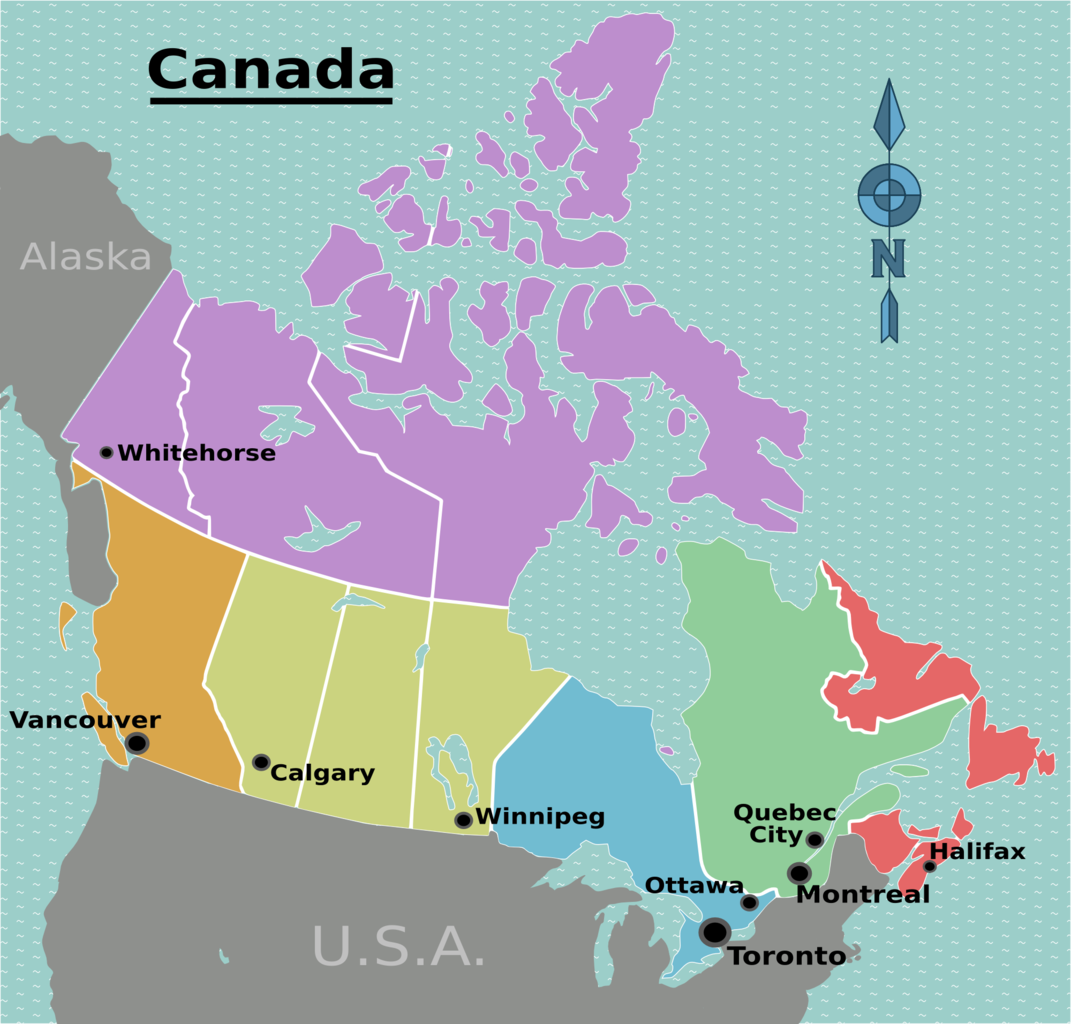
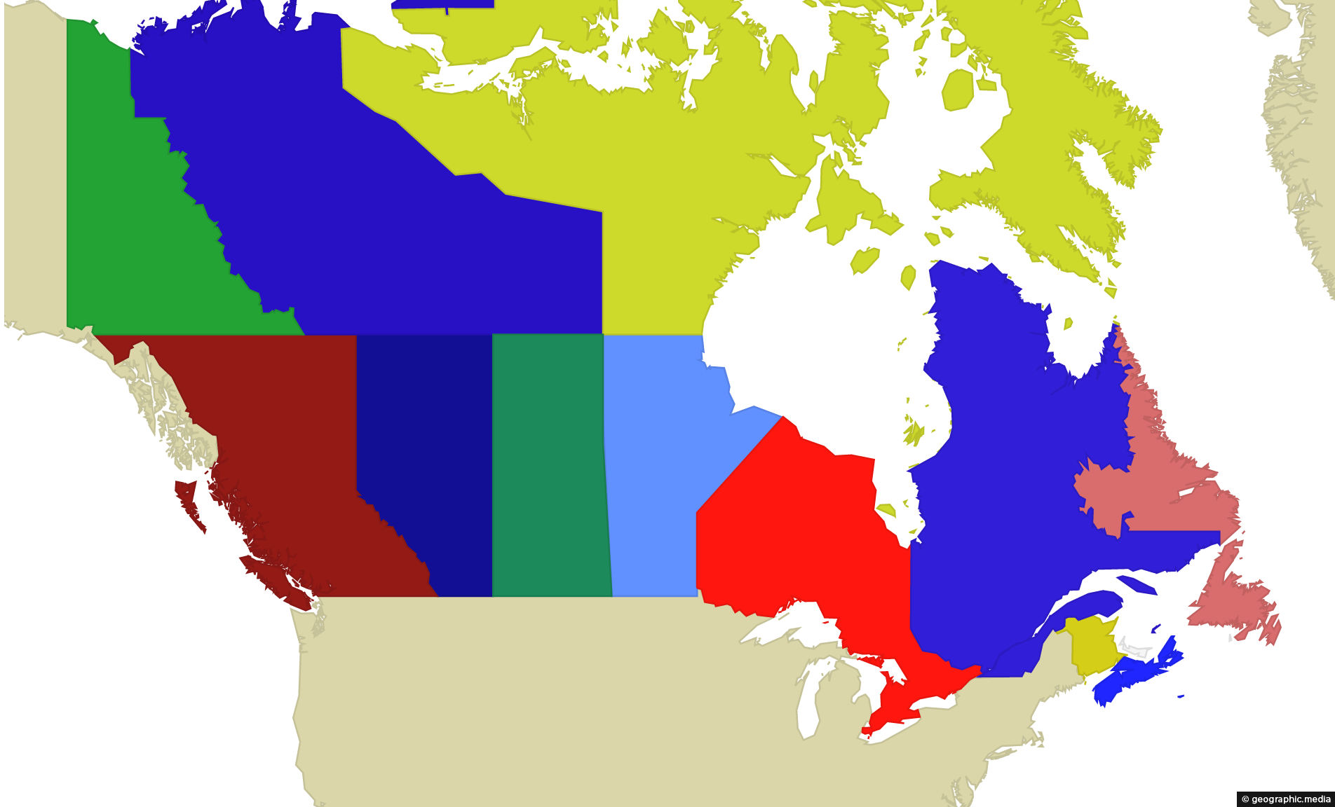
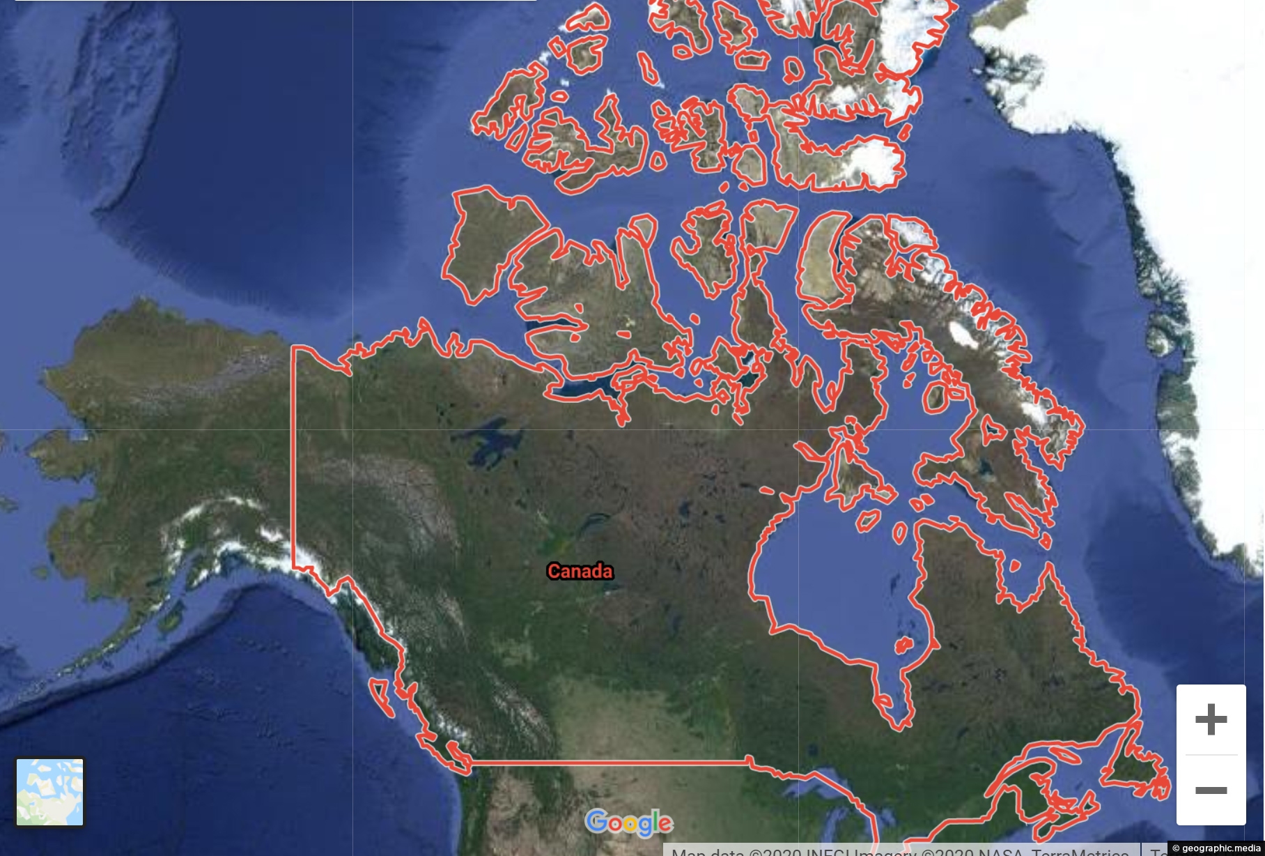
Canada is a federation of ten provinces and three territories. These provinces and territories are further grouped into six regions.
Provinces include:
- British Columbia
- Alberta
- Saskatchewan
- Manitoba
- Quebec
- Ontario
- New Brunswick
- Prince Edward Island
- Nova Scotia
- Newfoundland and Labrador
Territories include:
- Yukon
- Northwest Territories
- Nunavut
