
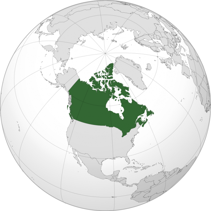
A globe projection map looking directly at North America at Canada.
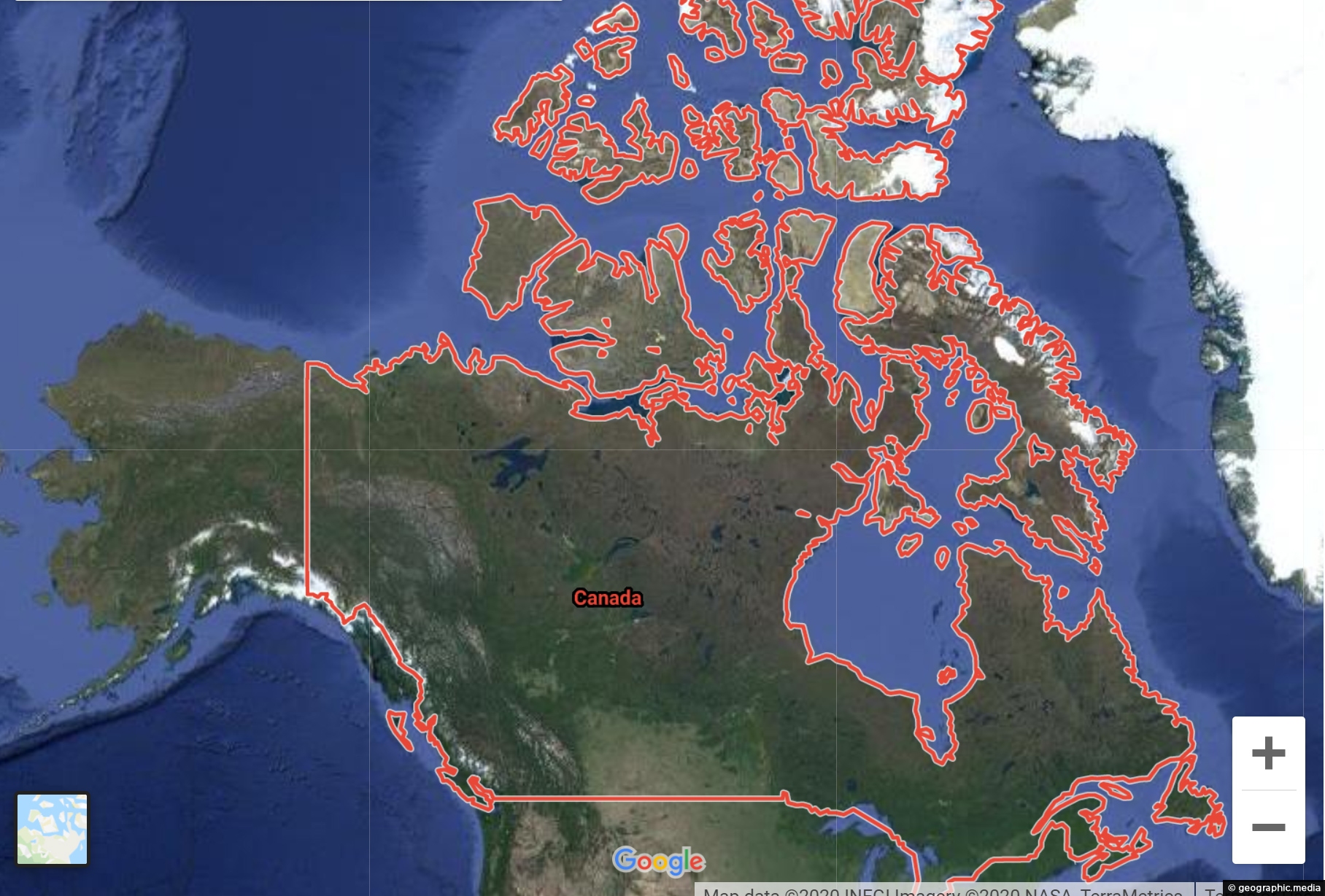
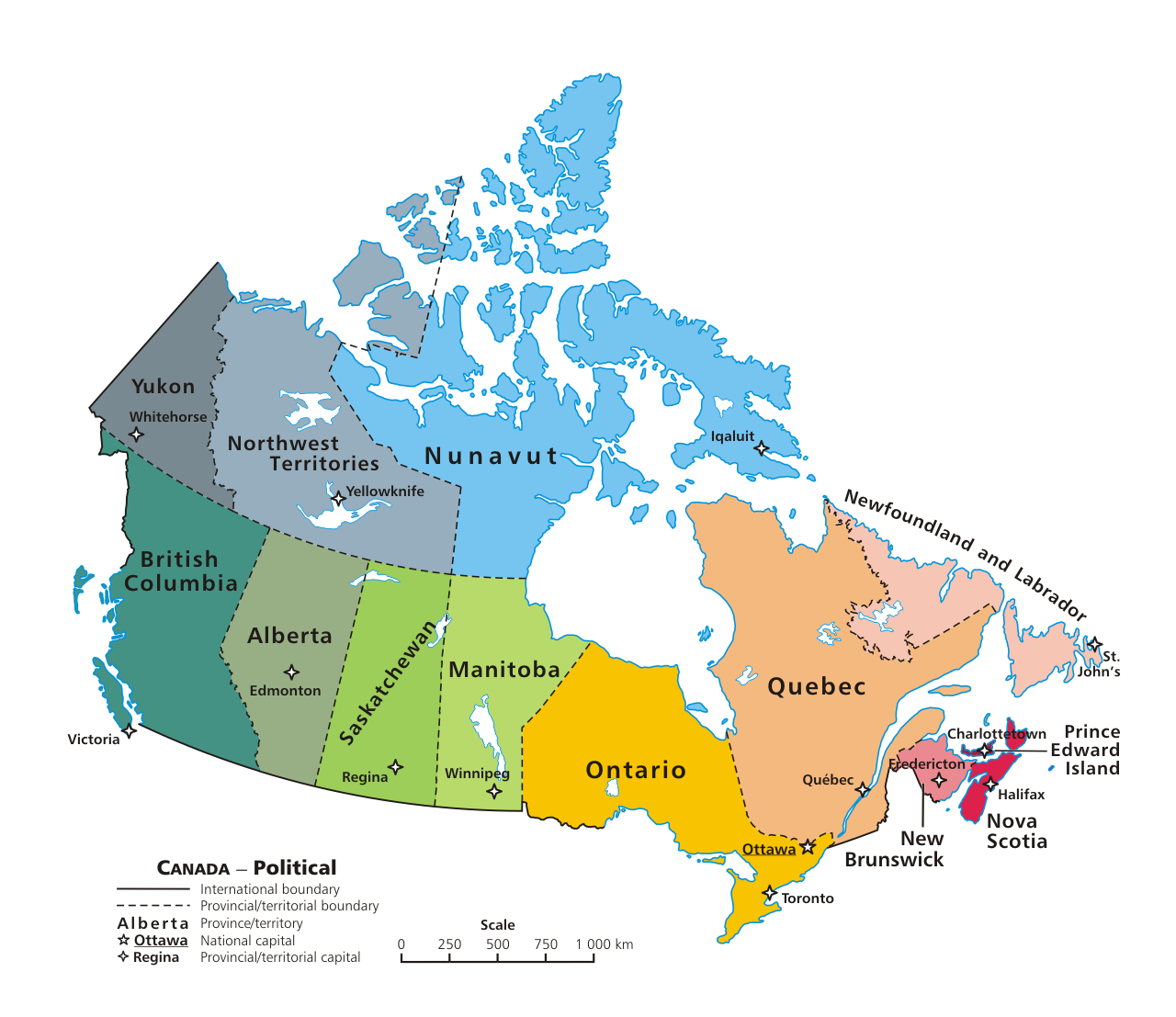
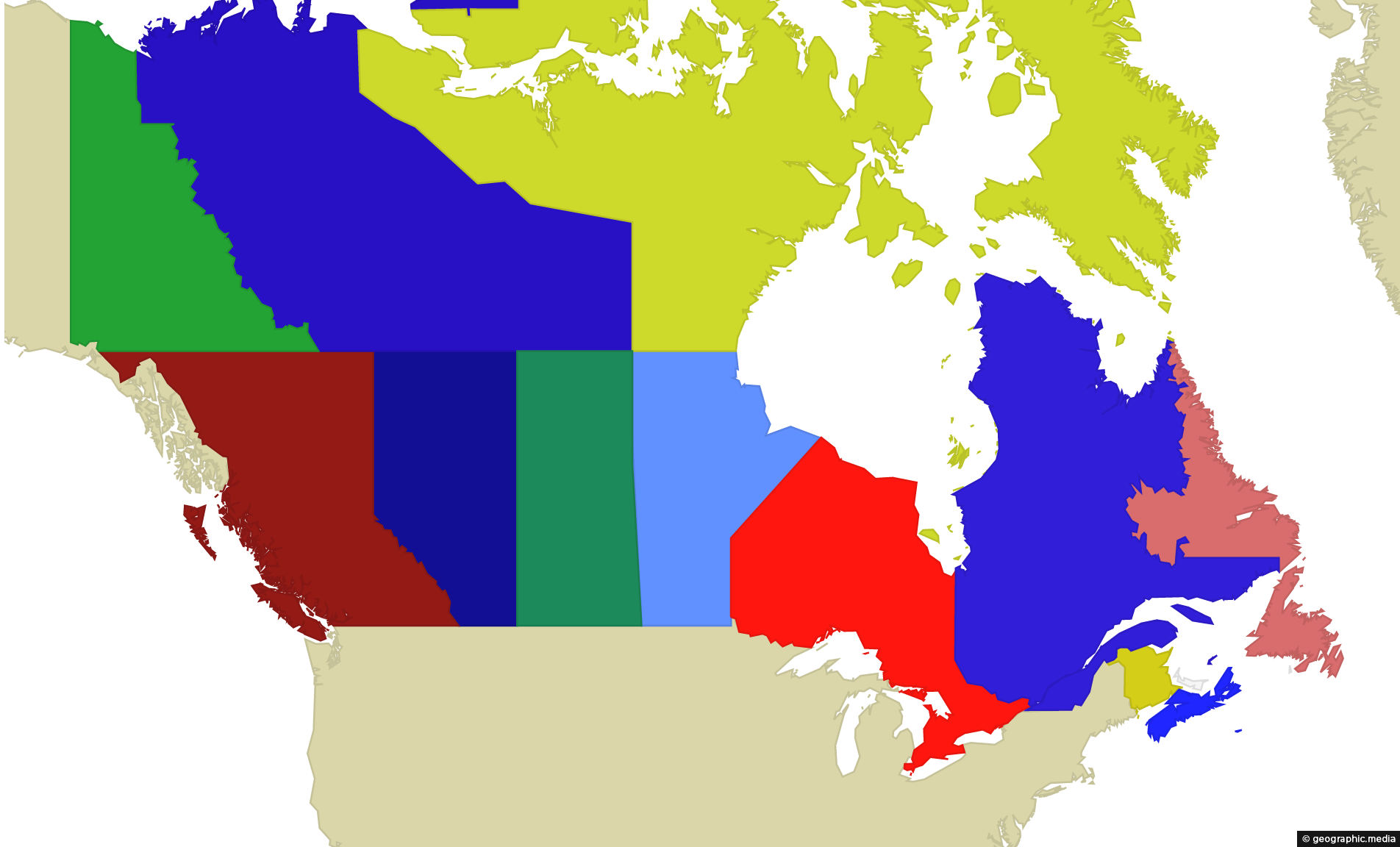
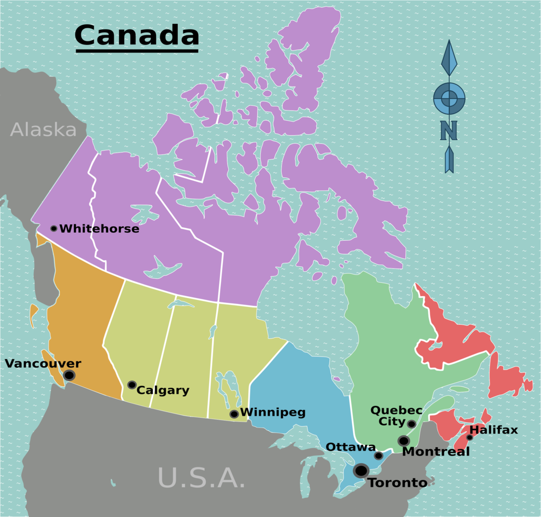
Lying north the USA, Canada is the world’s second largest country by total area and the largest country in North America. It shares two land borders with the USA, the longer being the longest border in the world with any other single country. The other border divides Canada and Alaska. Unlike its neighbor the United States, much of Canada is uninhabited due to its northerly location. The population is concentrated on its southern border.
To the north of Canada lies the Arctic Ocean, to the east is the Atlantic Ocean, and to the west is the Pacific Ocean.
