
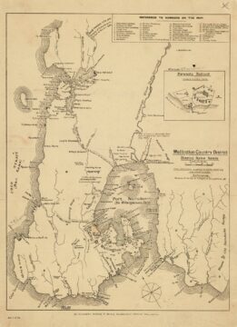
Shown here is the 1916 Wellington Country District map, which includes a detailed index highlighting a wide range of...
Wellington District Map with Māori Names (c1916)
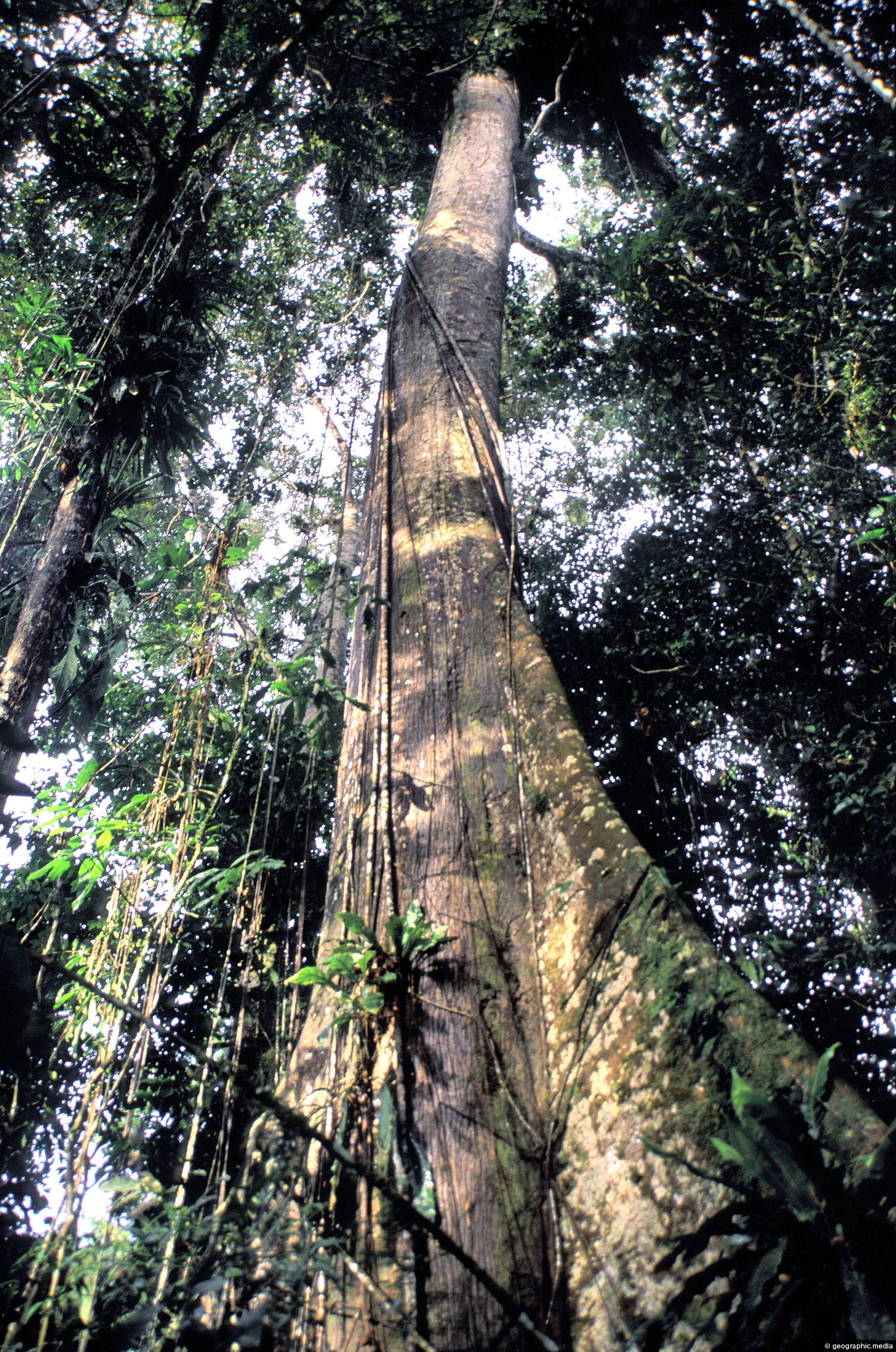
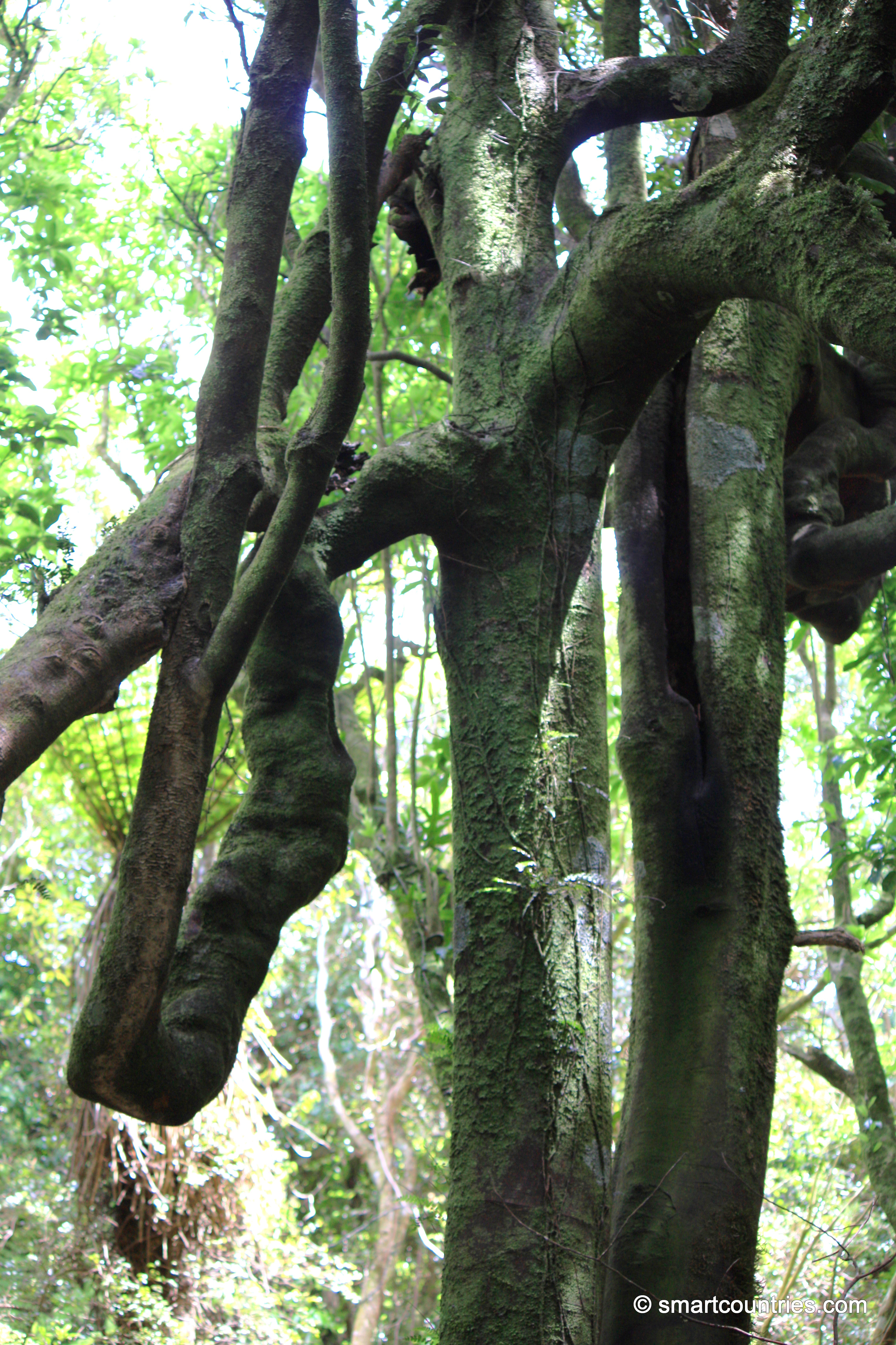
An emergent is a tree that rises above the forest canopy in order to get more light. The Amazon...

Wynyard Quarter is a waterfront precinct in Auckland, located on the city’s Waitematā Harbour. Once an industrial area dominated...
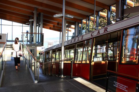
View of the Kelburn Terminal, the cable car stop at the Wellington Botanic Gardens. At the other end of...
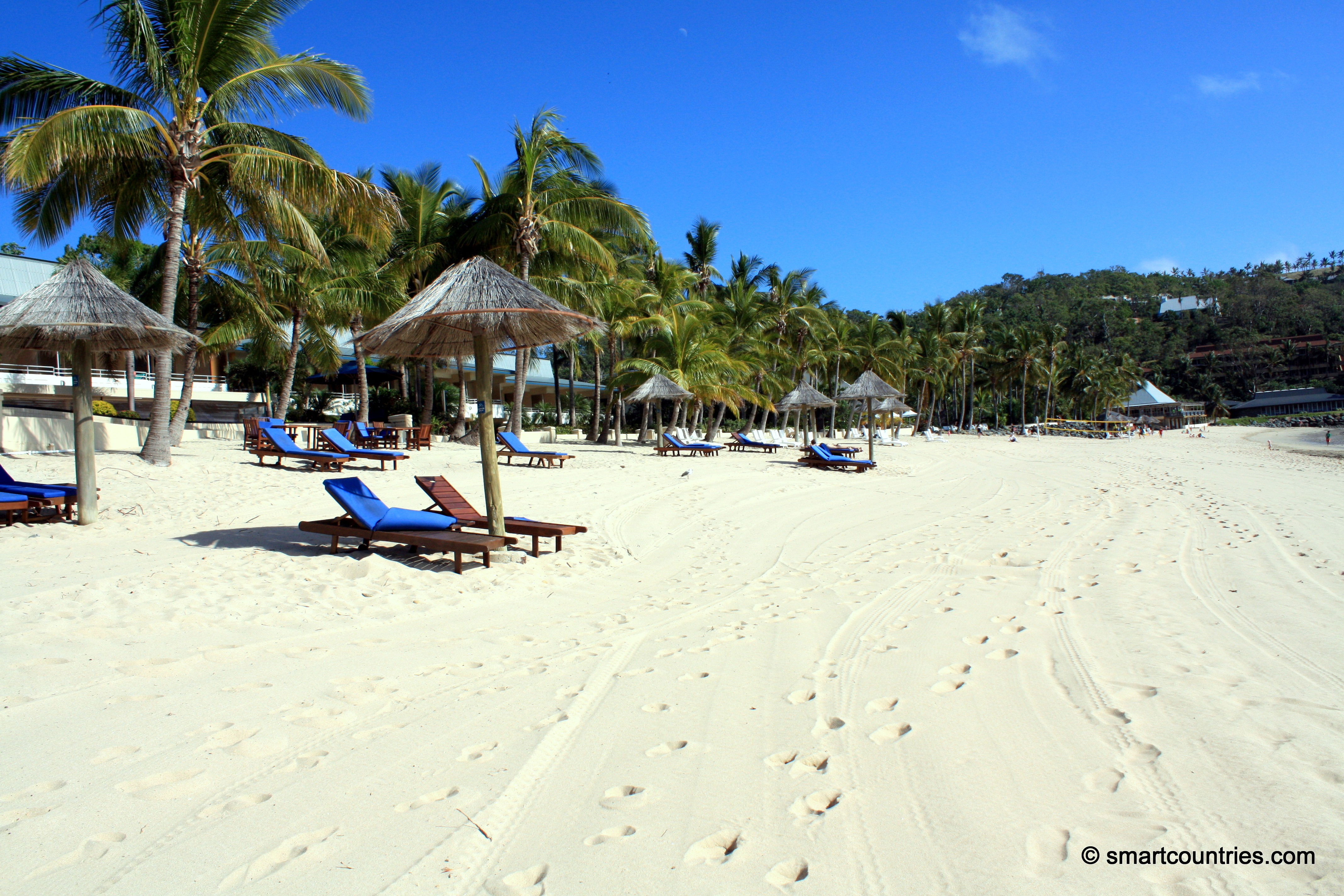
Stunning Catseye Beach on Hamilton Island is fringed with palms behind and the Coral Sea in front.
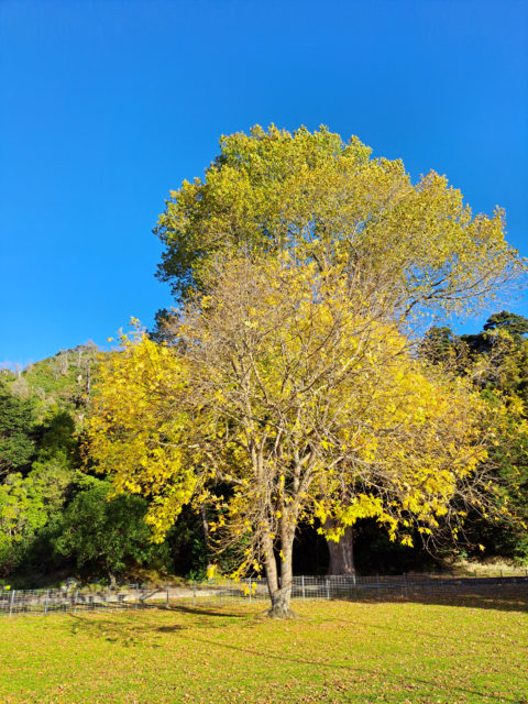
This autumn colored golden tree in Maidstone Park Upper Hutt sits in front of hills covered in native bush.
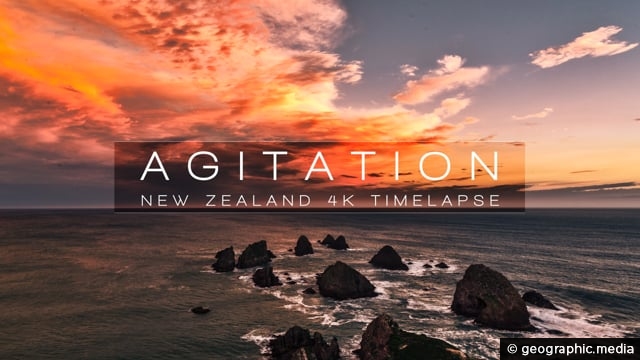
A time lapse video of rugged coastlines in New Zealand/. Locations include: the West Coast, Catlins, Piha Beach, East...
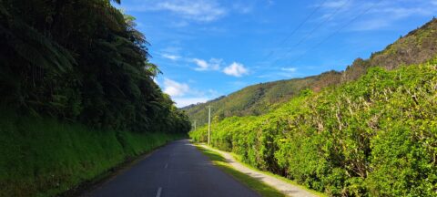
Reservoir Road in the Wainuiomata Waterworks Recreation Area gives you access to the dams and many walks in the...
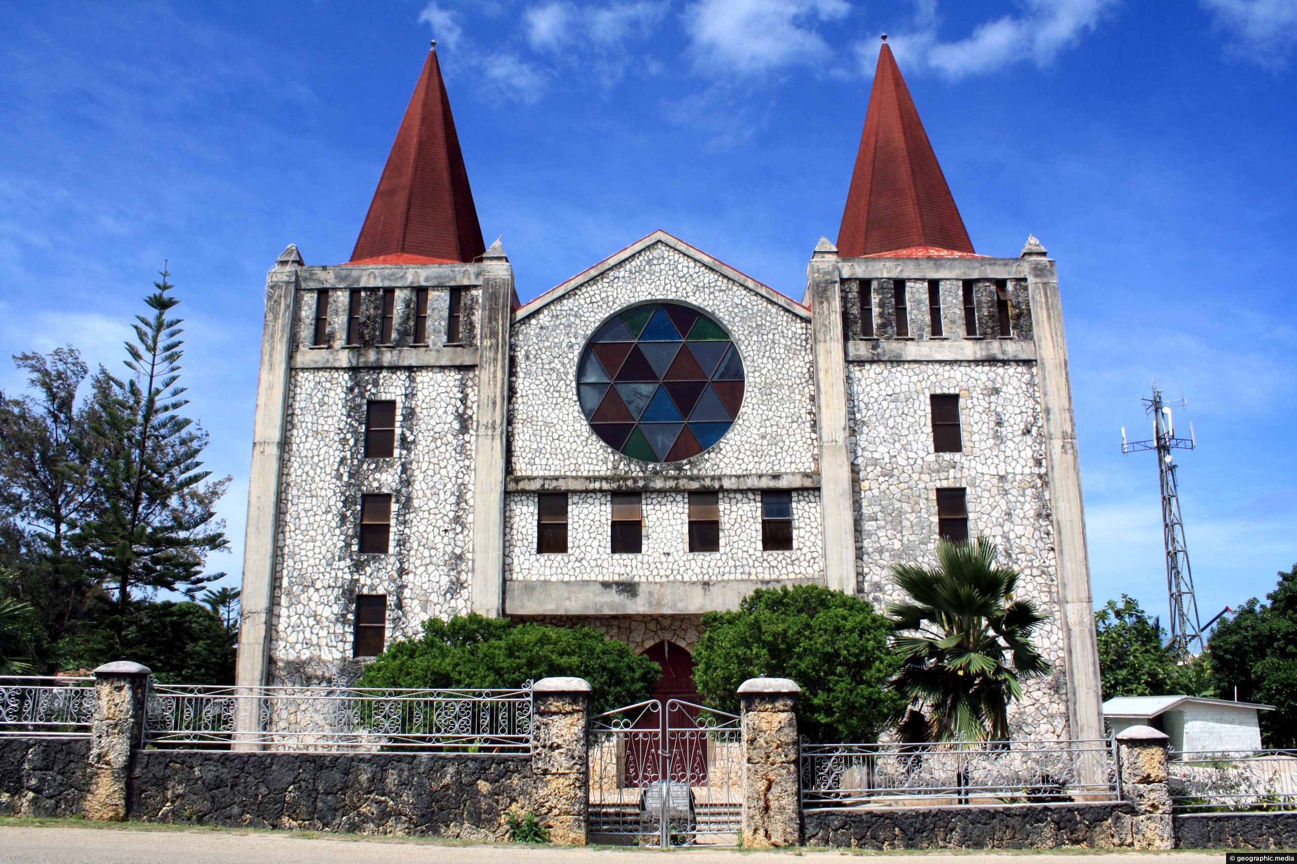
Looking at the unusual looking Free Church of Tonga building in Nuku’alofa. Across the street are the Royal Tombs...
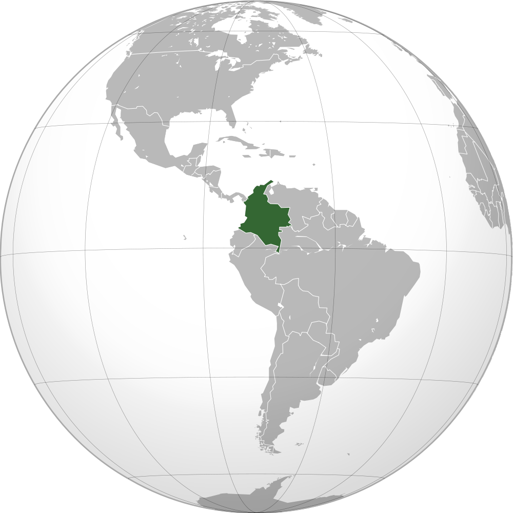
Map of the globe with the location of Colombia highlighted on the South American Continent. Colombia borders the Pacific...
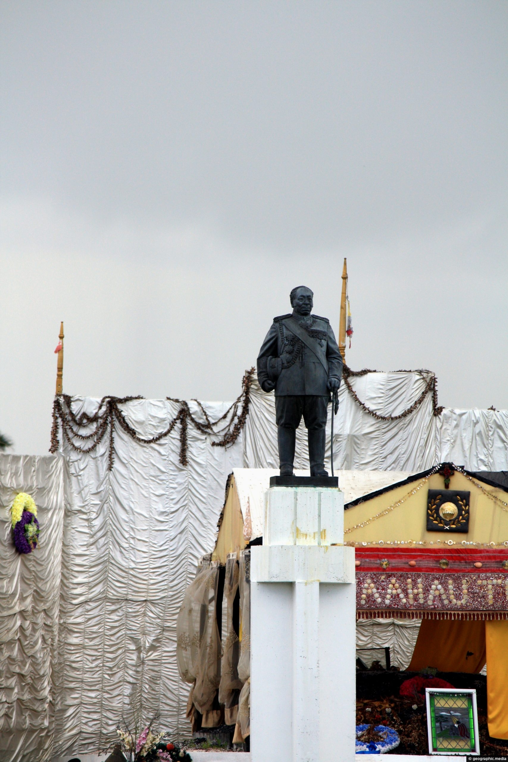
View of the royal tomb at Mala’ekula in Nuku’alofa. The Tupou Royal Family are buried here and the area...

Recent Comments