View of the Mapu a Vaea coastline on Tongatapu Island. This part of the island has hundreds of blowholes that put on a spectacular show.

Click image for fullscreen.

View of the Mapu a Vaea coastline on Tongatapu Island. This part of the island has hundreds of blowholes that put on a spectacular show.
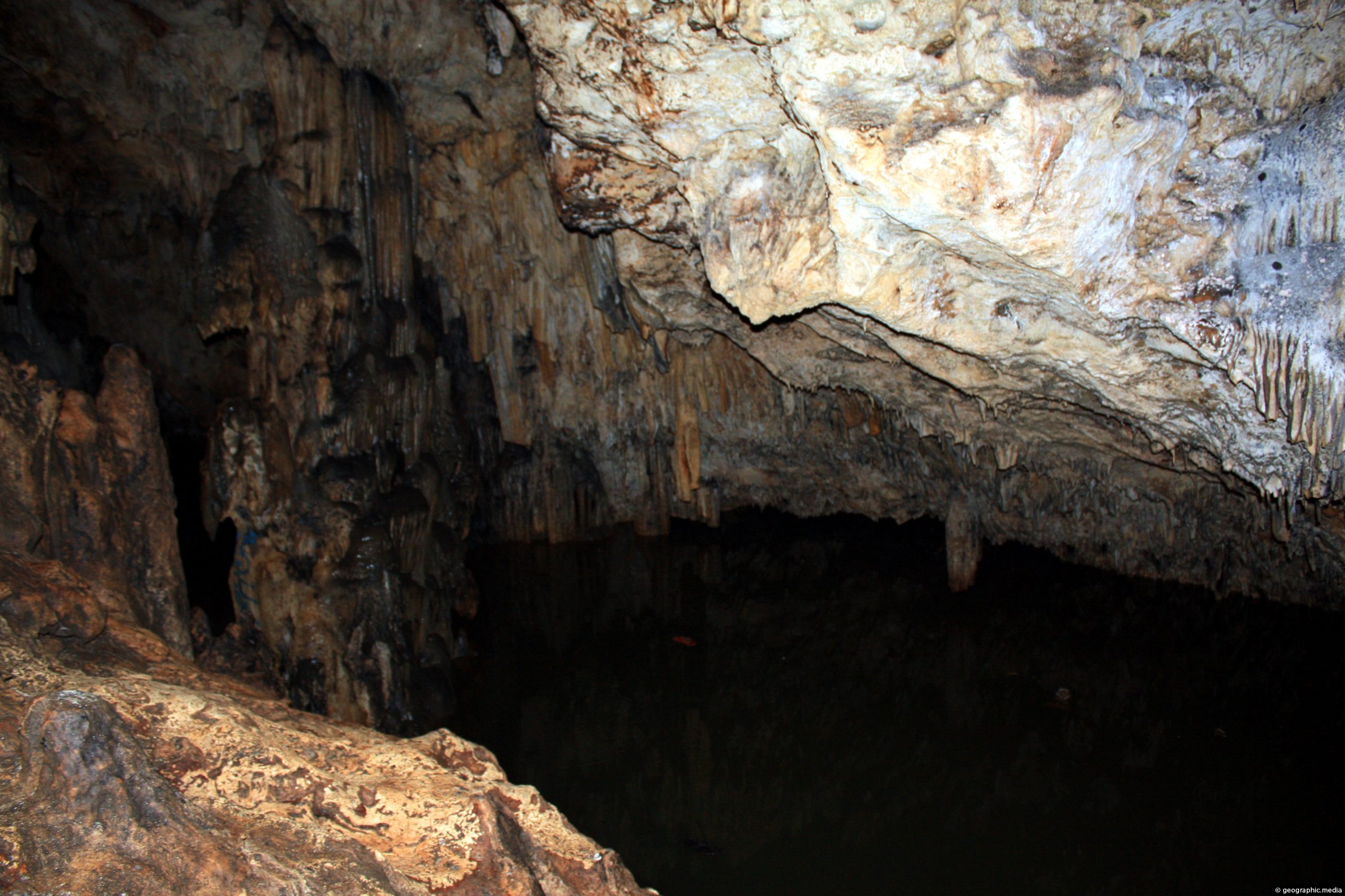
Entering into the darkness of Anahulu Cave on Tongatapu Island. The cave has internal lighting and there is a...
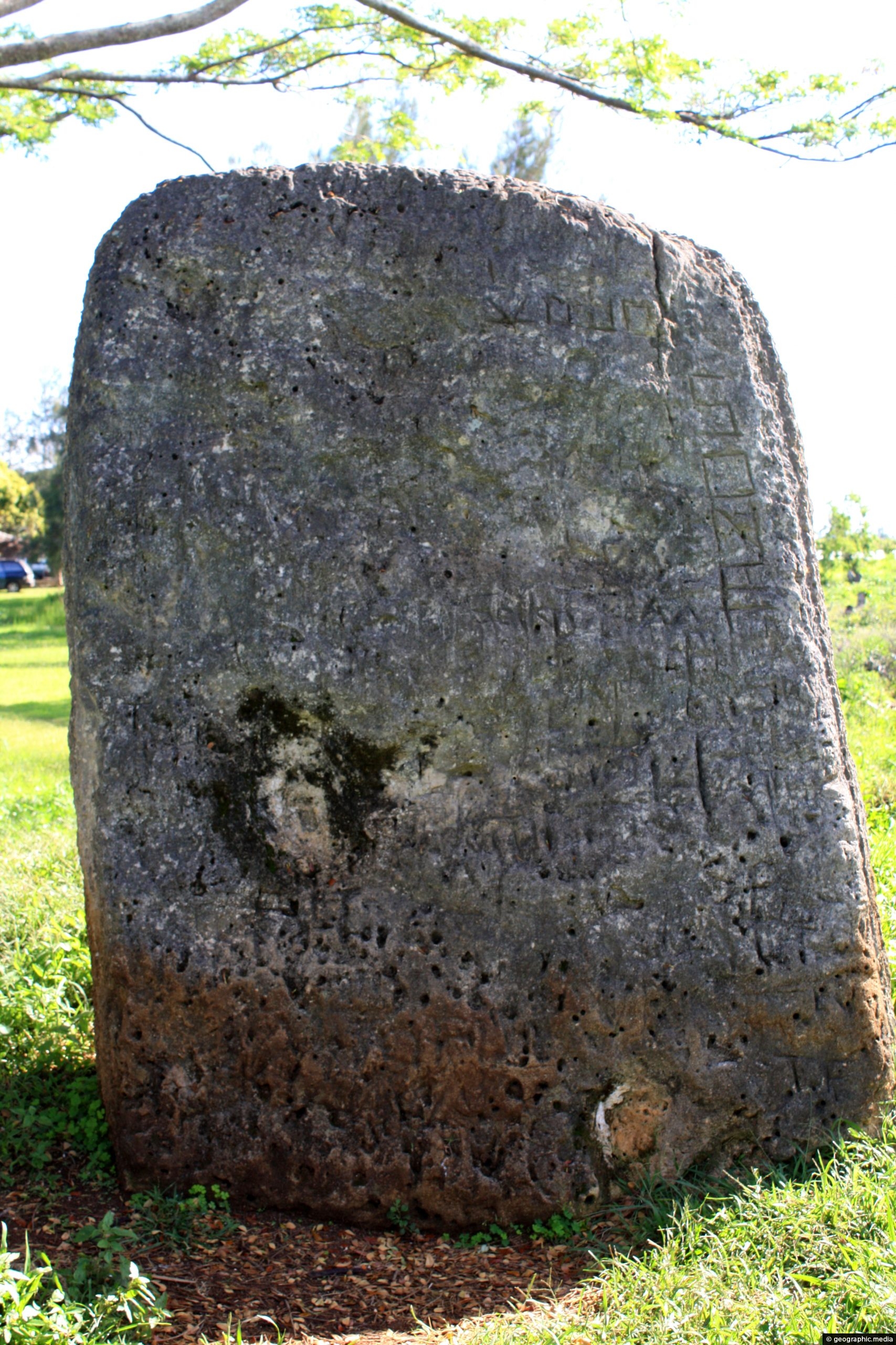
Esi Maka Faakinga is a huge stone that formed part of the Tongan king’s throne around seven hundred years...
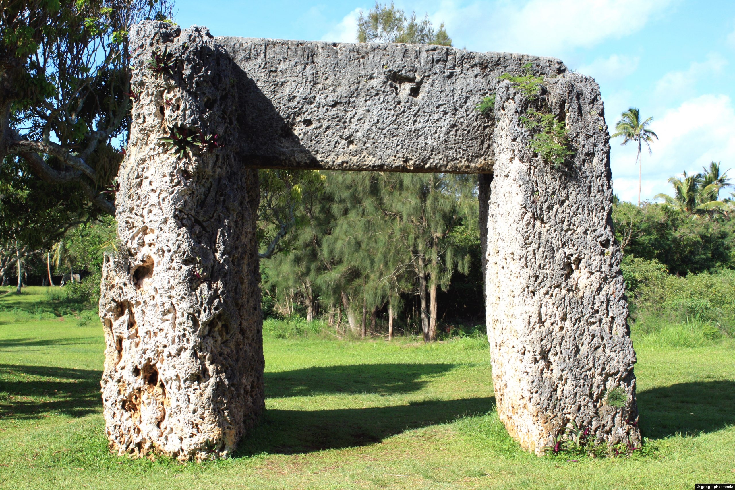
The Trilithon (Ha’amonga ‘a Maui) is a historically significant stone archway in Tonga. Dubbed the Stonehenge of the Pacific, it...
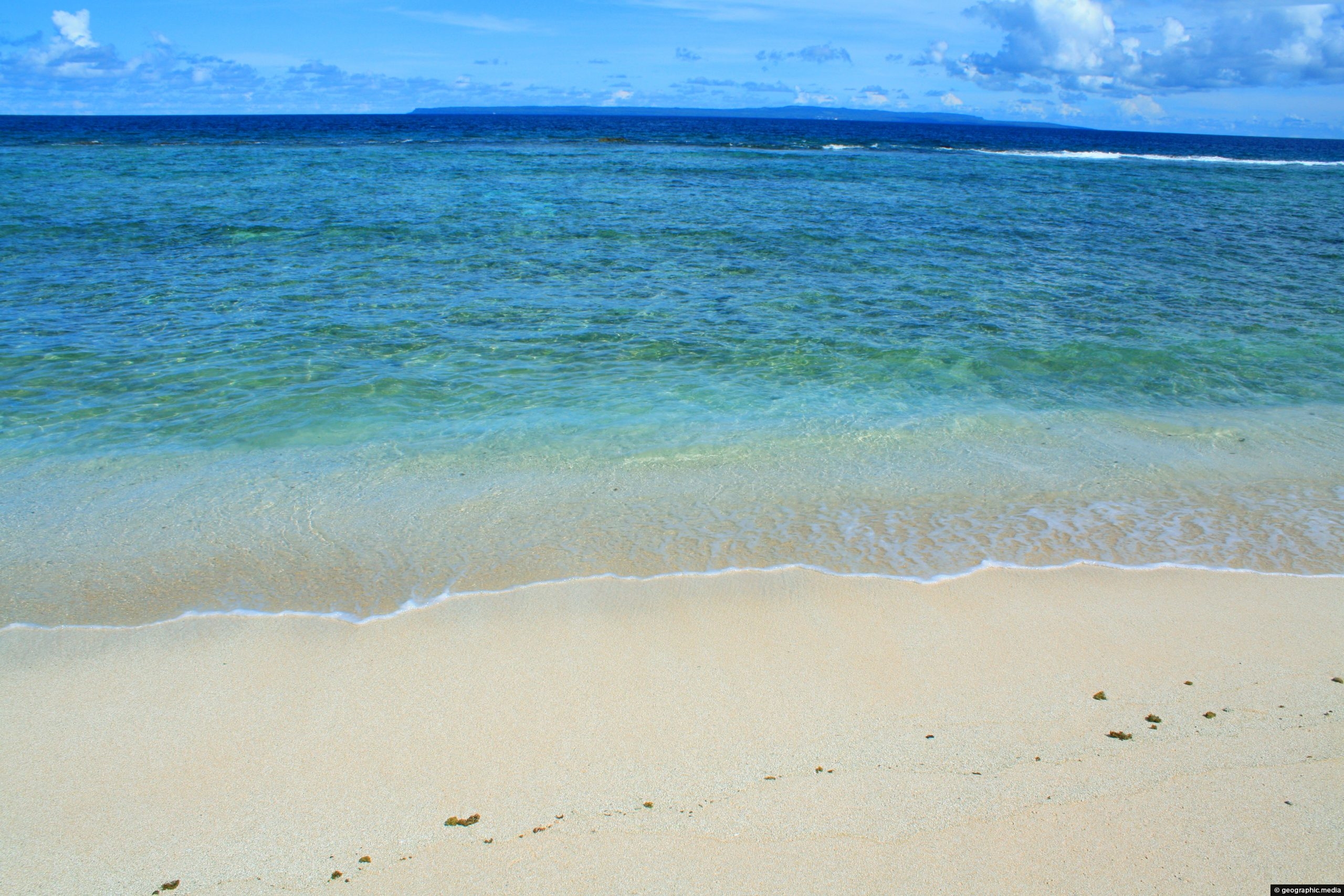
Eua Island seen from Anahulu Beach on Tongatapu Island. Eua may be close, but due to the lack of...
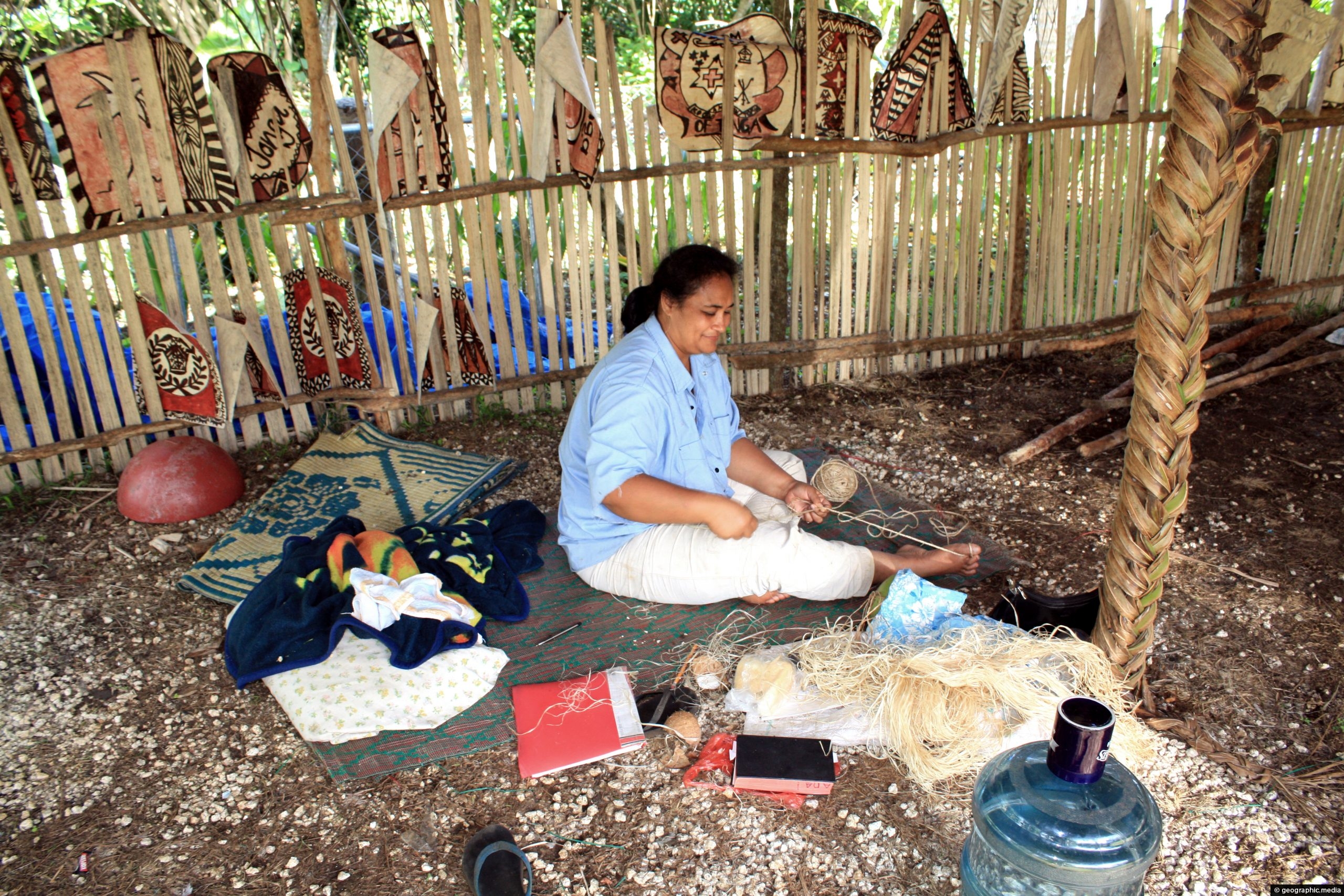
A woman selling hand-made crafts including tapa cloth and art near the entrance to Anahulu Cave. This area is...
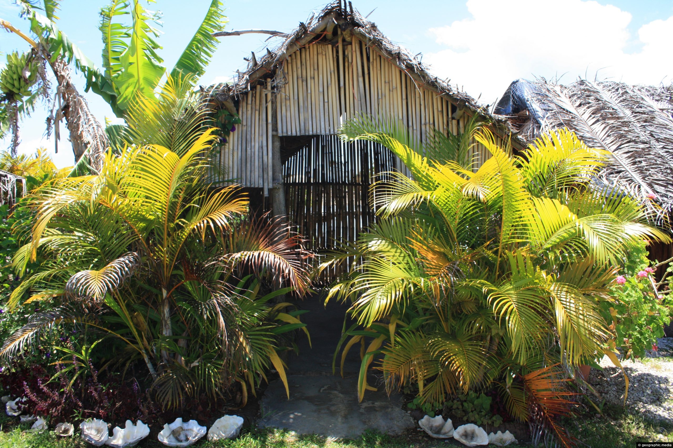
Traditional fale framed by two palm trees in Old Tonga on Tongatapu Island, (circa 2008). A fale is the...
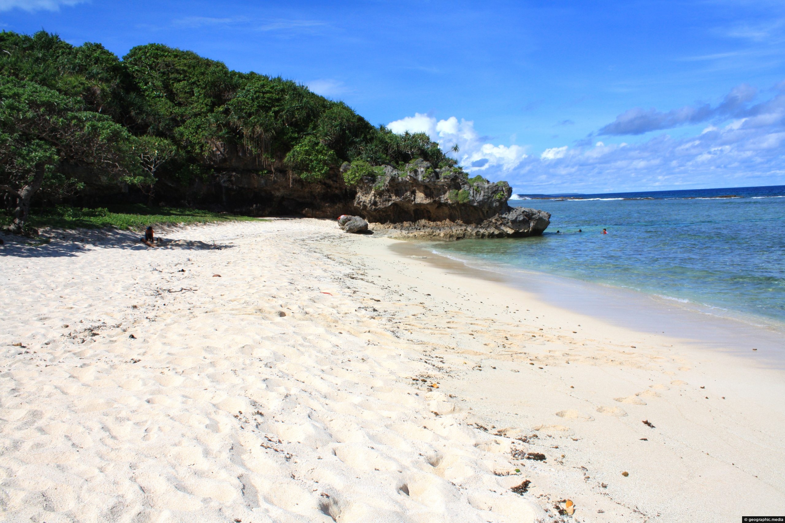
View of Anahulu Beach on Tongatapu Island. The beach is a mere 50 metres from another attraction, Anahulu Cave.
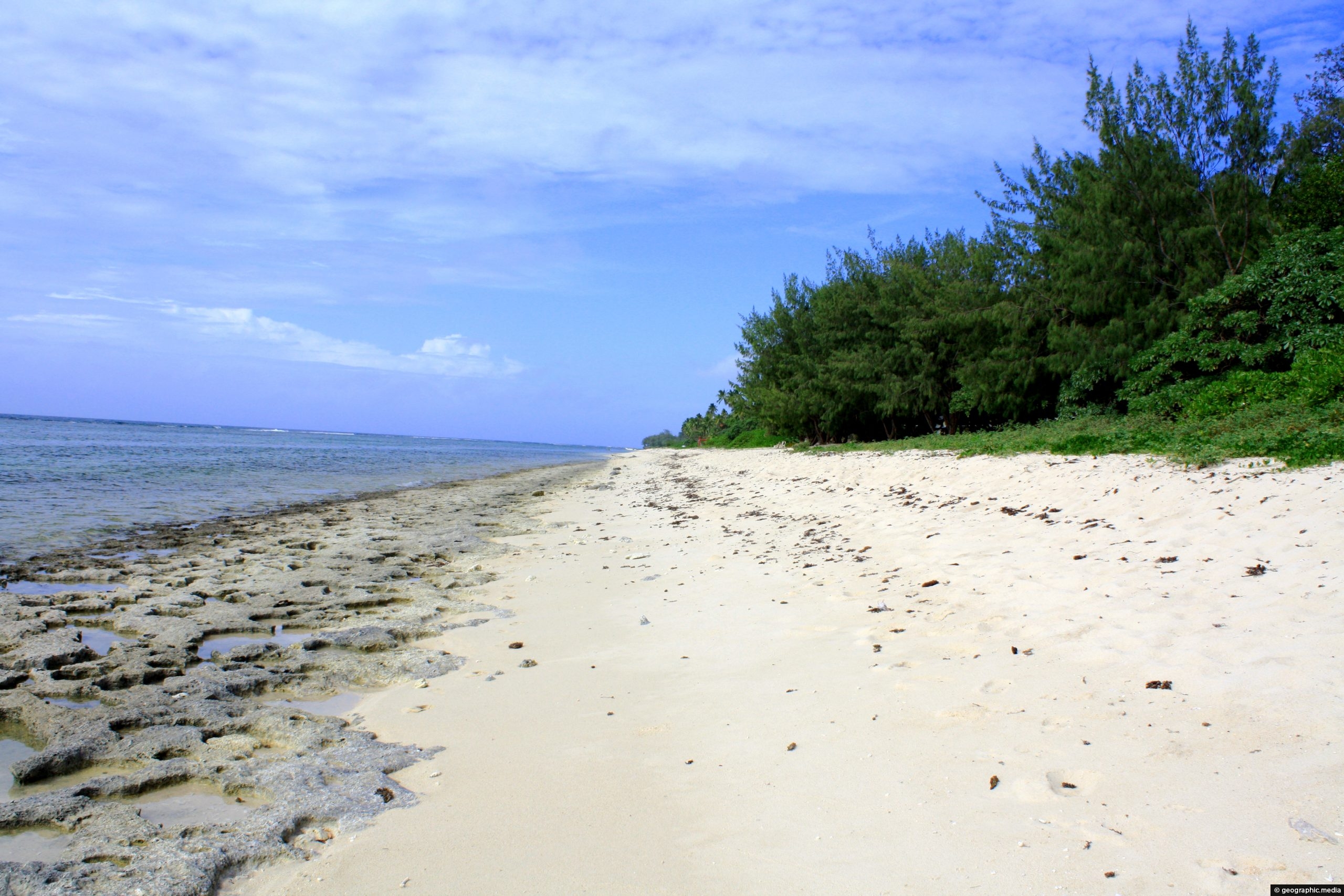
View of Ha’atafu Beach on Tongatapu Island with coral exposed at low tide. Tongatapu is a great place for...