This photo, taken in 1989, shows Scorching Bay. You can see the car park filled with cars typical of the 1990s, along with a grass strip, sand, and the sea.
ALL / Explore Oceania / Explore New Zealand / New Zealand Photos / Wellington photos / Scorching Bay and Cars
All original royalty-free photos, shareable maps, and informative articles.
Scorching Bay and Cars
Page Views
This post has been viewed 501 times
Related Articles
-
Taputeranga Island at Island Bay
Wellington photos, Beaches, Islands, Landscape / Horizontal, Sea
Gazing toward Taputeranga Island in Island Bay, a southern suburb of Wellington, you see the Cook Strait, which separates...
-
The suburb of Petone in Wellington
Wellington photos, Buildings, Cities, Landscape / Horizontal, Sea
Wellington Harbour as seen from the Wainuiomata Hill. In view is the Hutt River. It separates the industrial suburb...
-
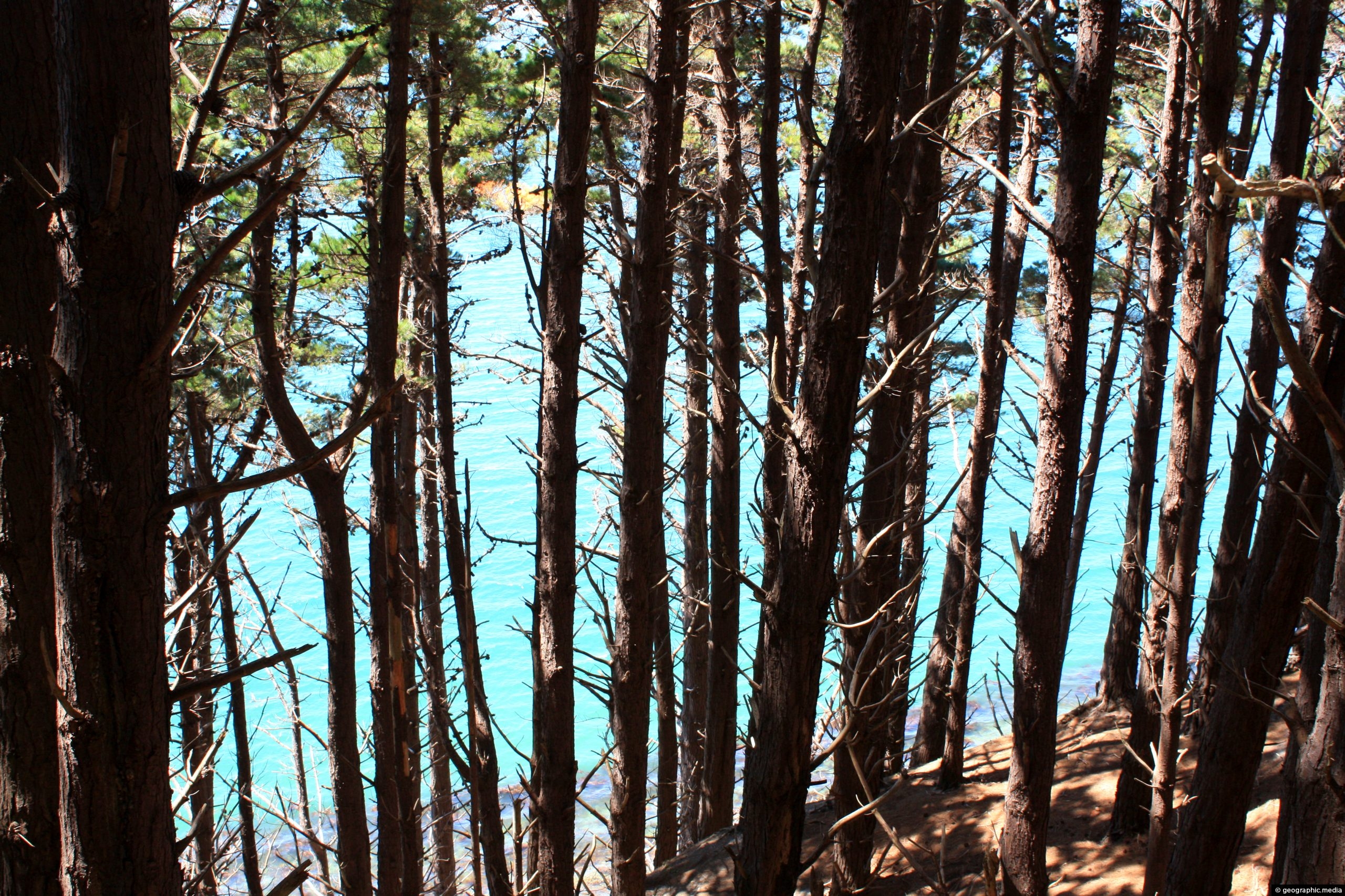
Monterey Pine forest Wellington Harbour
Wellington photos, Forests, Landscape / Horizontal, Sea, Trees
Monterey Pine forest on the slopes around Wellington Harbour. The Monterey Pine (Pinus Radiata) is a pine tree native...
-
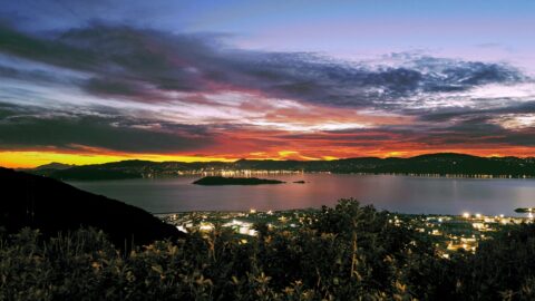
Sunset over Wellington Harbour
Wellington photos, Extra Wide Horizontal, Harbors, Sea, Sunsets
The sun setting behind Wellington Harbour as seen from atop the Wainuiomata Hill from a popular scenic lookout.
-
Scorching Bay in 1989
Wellington photos, Beaches, Landscape / Horizontal, Sea
View of Scorching Bay in the year 1989. The beach is one of the nicest harbor beached in the...
-
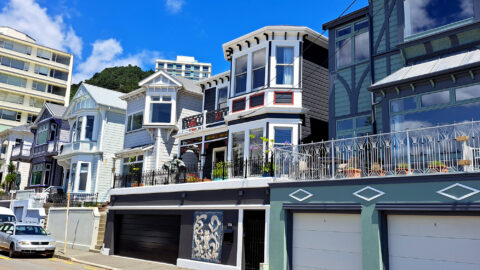
Oriental Bay Villas
Wellington photos, Buildings, Extra Wide Horizontal, Homes, Roads
Located across from the primary beach in Oriental Bay, these villas were constructed during the turn of the century....
-
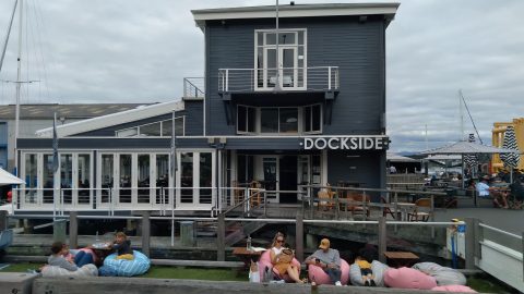
Dockside Restaurant in Wellington
Wellington photos, Buildings, Landscape / Horizontal, Restaurant
Dockside Restaurant is located on Queens Wharf on the Wellington Waterfront. The restaurant is a popular place to eat...
-
Coastal Colors Wellington
Wellington photos, Islands, Landscape / Horizontal, Sea
Deep saturated colors on the southern coastline of Wellington. Photo taken in 1989, near Wellington Airport.
0 Comments
Popular Posts
- Awakening New Zealand video (100)
- Iguazu Falls as seen from Brazil (87)
- Metrocable Medellin (78)
- Pauatahanui Inlet (69)
- Spinnaker Hill View (69)
- Spinnaker Hill in Whitby Porirua (69)
- View from Whitby (68)
- The Devil’s Throat (63)
- Aerial View of Iguazu Falls (61)
- Porirua Harbour & Papakowhai (58)
- Lake Wakatipu (57)
- Salto Rivadavia & Iguassu River (56)
- Salto Rivadavia Misiones Province (54)
- Close up of Salto Rivadavia (54)
- Cascadas at Iguazu (54)
- Lake Tekapo & Lupins (54)
Subjects
AccommodationAnimalsArchitectureBeachesBirdsBoatsBridgesBuildingsCarsChurchesCitiesCoralCultureExtra Wide HorizontalFlowersForestsHarborsHomesIslandsLakesLandscape / HorizontalMapsMenMonumentsMountainsPalmsParksPeoplePlantsPortrait / VerticalRiversRoadsRuralSeaShopsSkyscrapersSnowSunsetsTownsTrailsTransportTreesVideosVolcanicWaterfalls
Recent Comments
- DavidJ on The True Size of Australia
- Anonymous on The True Size of Australia
- Lance on Concrete Hut Wainuiomata
- Tony on Concrete Hut Wainuiomata
- DavidJ on Wellington Night Skyline