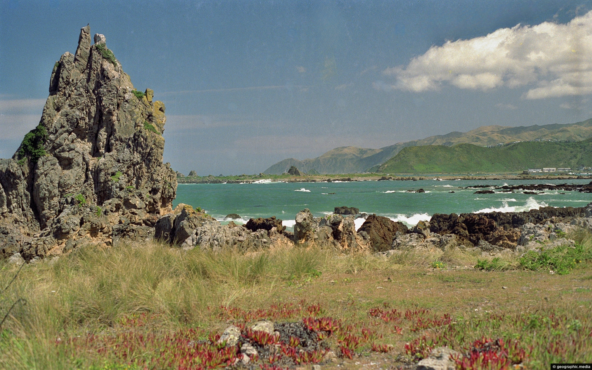
Deep saturated colors on the southern coastline of Wellington. Photo taken in 1989, near Wellington Airport.
Click Jigshare icon to turn the image into a jigsaw. Or click on photo to download or view full screen image.

Deep saturated colors on the southern coastline of Wellington. Photo taken in 1989, near Wellington Airport.
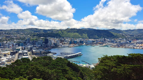
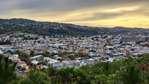
A cloudy Wellington city as seen from the popular tourist spot of Mount Victoria Lookout. The city’s suburbs extend...
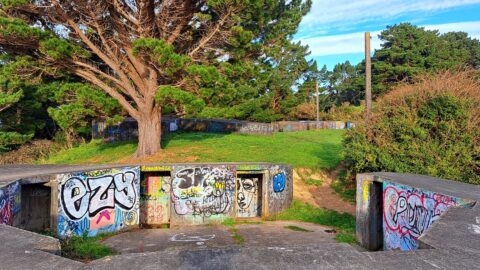
Massey Memorial bunkers in Miramar were built in 1885 as a response to the Crimean War and the expanding...
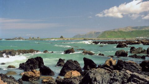
Standing on the southern coastline of Wellington and looking toward Island Bay with Taputeranga Island in view. Photo taken...
Newtown is a culturally diverse suburb located in Wellington, New Zealand. It’s known for its variety of dining options,...
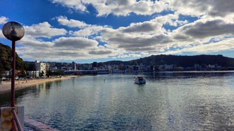
Oriental Bay and distinctive clouds, with the Wellington city center in view. Photo taken from the Oriental Bay Pavilion.
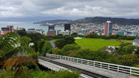
View of the Cable Car track with the Wellington CBD on an overcast day. In the background, some of...
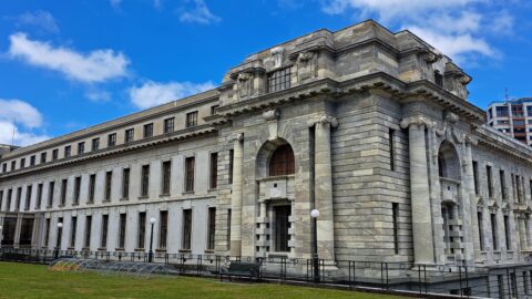
Parliament House in Wellington, is one of the buildings that comprise New Zealand Parliament Buildings. This building houses the...
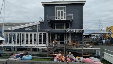
Dockside Restaurant is located on Queens Wharf on the Wellington Waterfront. The restaurant is a popular place to eat...
