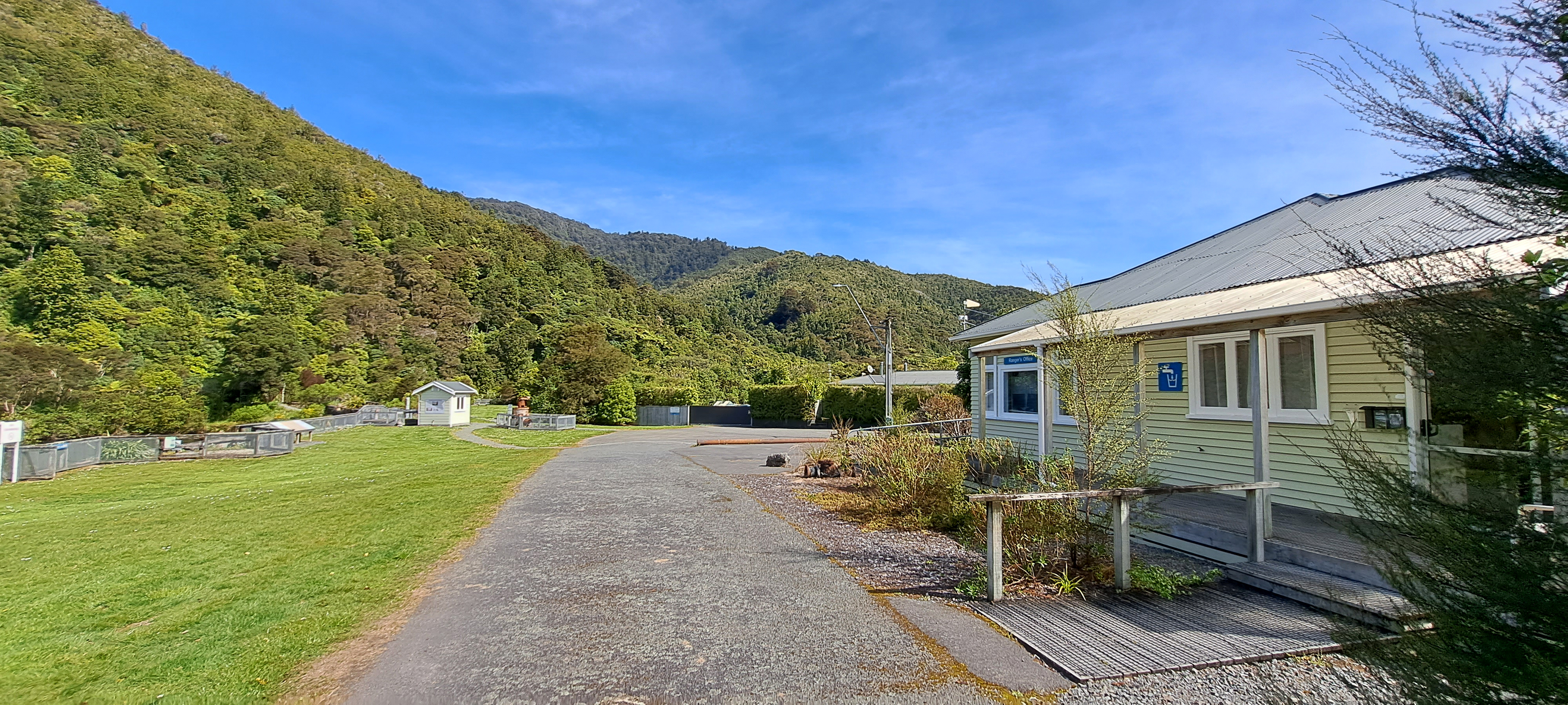
View of the museum in the Wainuiomata Recreational Area. This house among others originally homed workers at the dam.
Click Jigshare icon to turn the image into a jigsaw. Or click on photo to download or view full screen image.

View of the museum in the Wainuiomata Recreational Area. This house among others originally homed workers at the dam.
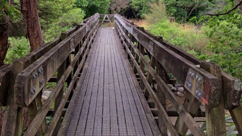
The construction of Hine Road Recreation Reserve Bridge dates back to 1989. It provides passage to Top Pool Bridge,...
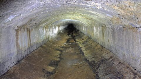
The Wainuiomata water race is a two kilometre long concrete tunnel / closed race built in the early 1880s...
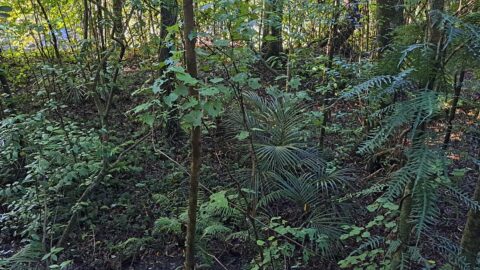
Typical young native plants growing on the forest floor in Ōrongorongo Forest Park, Wainuiomata. The ferns seen here are...
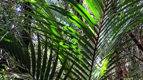
Nikau palms are the only palm tree in the world to naturally grow outside of the tropics. It is...
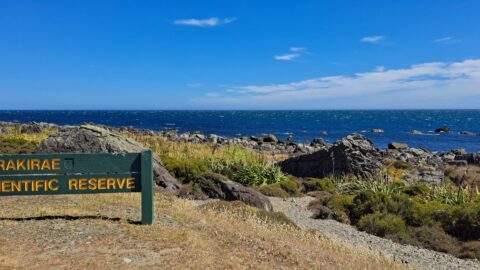
A sign notifying walkers that they are entering the Turakirae Head Scientific Reserve. Situated on the southern coast of...
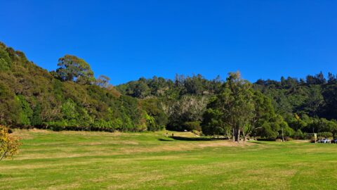
Hine Road Recreation Area, formerly referred to as The Meadow by some, it comprised paddocks hosting grazing horses during...
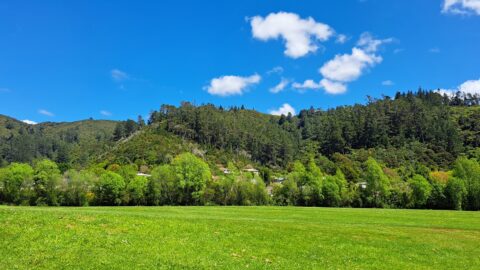
A sunny day at Richard Prouse Park in Wainuiomata looking toward Hine Road and Sunny Grove. The hills are...
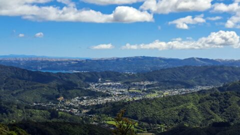
This bird’s-eye perspective of Wainuiomata illustrates how the suburb resides within its unique valley, distinct from the broader Hutt...
