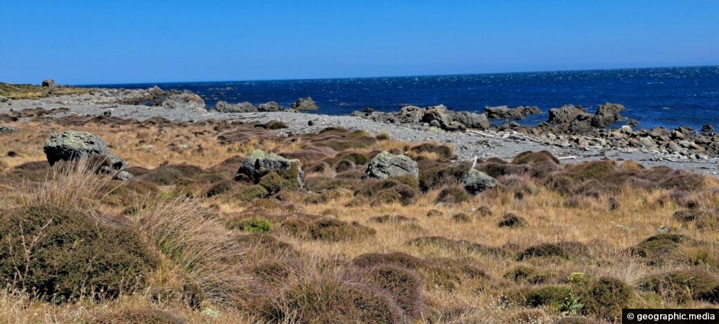
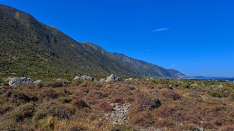
A view of the rugged coastline and native vegetation on the southern North Island, specifically in Wainuiomata. This section of the coast is representative of much of the southern coastline’s character. The area provides an ideal habitat for seals, and while they are present closer to the stony beach, they are not visible in this scene.
ALL / Explore Oceania / Explore New Zealand / New Zealand Photos / Wainuiomata photos / South Coast & Coastal Vegetation
All original royalty-free photos, shareable maps, and informative articles.
South Coast & Coastal Vegetation
Page Views
This post has been viewed 125 times
Related Articles
-
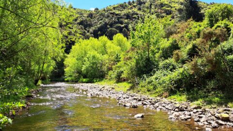
River at Richard Prouse Park
Wainuiomata photos, Extra Wide Horizontal, Forests, Rivers
View of Wainuiomata River on the edge of Richard Prouse Park. This part of the river has a few...
-
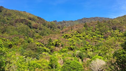
Remutaka Hills Wainuiomata
Wainuiomata photos, Extra Wide Horizontal, Forests
Looking at a forested foothill in the Remutaka Range. The Lower Hutt suburb of Wainuiomata is set below these...
-
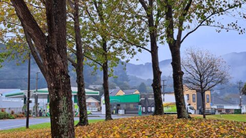
Autumn at Queen Street Reserve
Wainuiomata photos, Autumn, Portrait / Vertical
Autumn colors at Queen Street Reserve in the heart of Wainuiomata. The reserve is bounded by Queen Street, Fitzherbert...
-
View from The Rock in Wainuiomata
Wainuiomata photos, Extra Wide Horizontal, Mountains, Parks, Rivers
A view overlooking Richard Prouse Park and the surrounding hills from The Rock on Moores Valley Road. Once a...
-
Richard Prouse Park View
Wainuiomata photos, Extra Wide Horizontal, Forests, Mountains
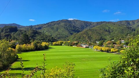
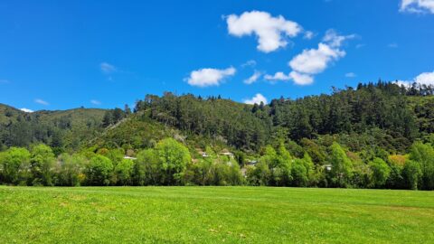
A sunny day at Richard Prouse Park in Wainuiomata looking toward Hine Road and Sunny Grove. The hills are...
-
Young Kahikatea
Wainuiomata photos, Extra Wide Horizontal, Forests, Trees
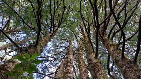
Young kahikatea trees growing skyward. Over time, these trees will become giants within the forest, reaching heights of 60...
-
Wainuiomata Historical Museum
Wainuiomata photos, Extra Wide Horizontal, Mountains, Parks
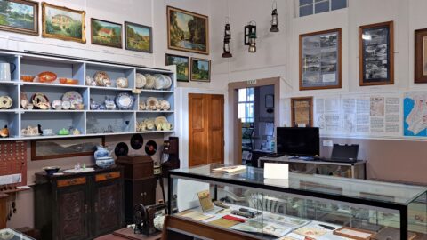
Looking at one of the rooms in the Wainuiomata Museum that displays artefacts from the past as well as...
-
Eastern Edge of the Remutaka Range
Wainuiomata photos, Extra Wide Horizontal, Mountains
This view captures the eastern edge of the Remutaka Range in Palliser Bay, which can be accessed either via...
0 Comments
Calendar
| M | T | W | T | F | S | S |
|---|---|---|---|---|---|---|
| 1 | ||||||
| 2 | 3 | 4 | 5 | 6 | 7 | 8 |
| 9 | 10 | 11 | 12 | 13 | 14 | 15 |
| 16 | 17 | 18 | 19 | 20 | 21 | 22 |
| 23 | 24 | 25 | 26 | 27 | 28 | 29 |
| 30 | ||||||
Popular Posts
- Awakening New Zealand video (100)
- Iguazu Falls as seen from Brazil (87)
- Metrocable Medellin (78)
- Pauatahanui Inlet (69)
- Spinnaker Hill in Whitby Porirua (68)
- Spinnaker Hill View (68)
- View from Whitby (68)
- The Devil’s Throat (62)
- Aerial View of Iguazu Falls (61)
- Porirua Harbour & Papakowhai (57)
- Lake Wakatipu (57)
- Salto Rivadavia & Iguassu River (56)
- Lake Tekapo & Lupins (54)
- Nelson View (53)
- Salto Rivadavia Misiones Province (53)
- Cascadas at Iguazu (53)
Subjects
AccommodationAnimalsArchitectureBeachesBirdsBoatsBridgesBuildingsCarsChurchesCitiesCoralCultureExtra Wide HorizontalFlowersForestsHarborsHomesIslandsLakesLandscape / HorizontalMapsMenMonumentsMountainsPalmsParksPeoplePlantsPortrait / VerticalRiversRoadsRuralSeaShopsSkyscrapersSnowSunsetsTownsTrailsTransportTreesVideosVolcanicWaterfalls
Recent Comments
- Lance on Concrete Hut Wainuiomata
- Tony on Concrete Hut Wainuiomata
- DavidJ on Wellington Night Skyline
- Ben on Auckland City Skyline from Westhaven Marina in 1998
- Ben on Auckland Harbour Bridge view

