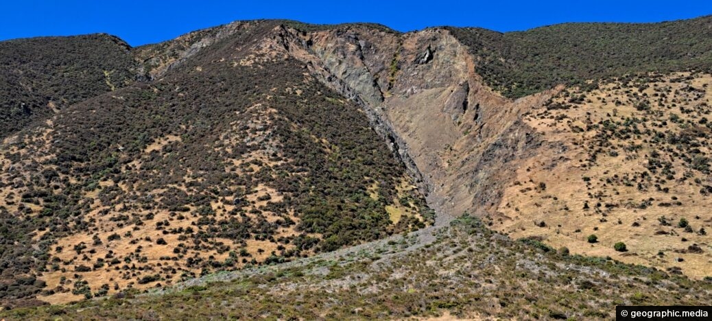
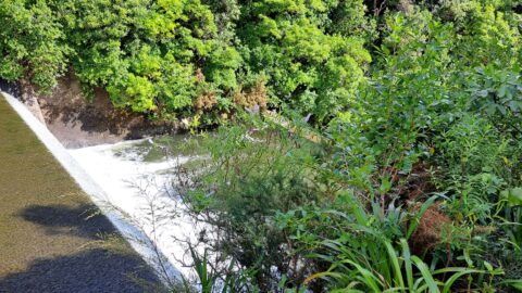
This shingle fan reveals a massive accumulation of scree cascading from the hillside, spreading out in a fan-like shape on the ground. The mountains in this area are steep, sparsely vegetated, and exposed to strong winds and heavy rainfall. These conditions are largely due to the elevation of the mountains and their close proximity to the coast.
Shingle Fan
Page Views
This post has been viewed 138 times
Related Articles
-
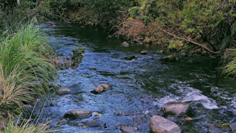
Upstream Wainuiomata River
Wainuiomata photos, Portrait / Vertical, Rivers
The view of Wainuiomata River near Sledge Track Pool, a natural swimming area. About 100 metres upstream from here,...
-
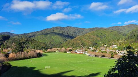
Richard Prouse Park in Wainuiomata
Wainuiomata photos, Extra Wide Horizontal, Mountains, Parks
View of Richard Prouse Park as seen from Moores Valley Road. The hills in the background are part of...
-
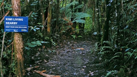
Sledge Track and Kiwi Sign
Wainuiomata photos, Forests, Portrait / Vertical, Trails
Sledge Track Creek in Wainuiomata is a habitat for kiwi, New Zealand’s national bird. These flightless and endangered birds...
-
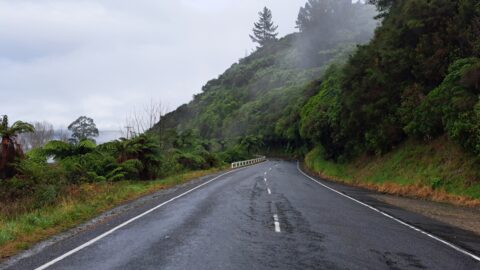
Moores Valley Road in Mist
Wainuiomata photos, Extra Wide Horizontal, fog, Mountains, Roads
Moores Valley Road on a misty winter’s day in Wainuiomata presents a picturesque scene. One of the oldest roads...
-
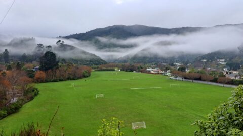
Misty Day at Richard Prouse Park
Wainuiomata photos, Extra Wide Horizontal, fog, Mountains, Parks
Winter view of Richard Prouse Park in Wainuiomata, with the hills of Wainuiomata Regional Park shrouded in fog.
-
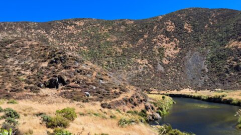
Wainuiomata River Near Coast Road
Wainuiomata photos, Extra Wide Horizontal, Rivers
View of the Wainuiomata River as seen from the Coast Road in Wainuiomata. The surrounding landscape here is parched...
-
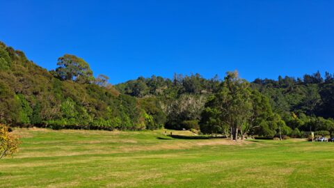
Hine Road Recreation Area
Wainuiomata photos, Extra Wide Horizontal, Parks
Hine Road Recreation Area, formerly referred to as The Meadow by some, it comprised paddocks hosting grazing horses during...
-
Lower Dam Spillway Wainuiomata Waterworks
Wainuiomata photos, Dams, Extra Wide Horizontal, Forests, Rivers
Looking down on the spillway for the lower dam. Despite being decommissioned, the spillway allows water from the Wainuiomata...
0 Comments
Calendar
| M | T | W | T | F | S | S |
|---|---|---|---|---|---|---|
| 1 | ||||||
| 2 | 3 | 4 | 5 | 6 | 7 | 8 |
| 9 | 10 | 11 | 12 | 13 | 14 | 15 |
| 16 | 17 | 18 | 19 | 20 | 21 | 22 |
| 23 | 24 | 25 | 26 | 27 | 28 | 29 |
| 30 | ||||||
Popular Posts
- Awakening New Zealand video (100)
- Iguazu Falls as seen from Brazil (87)
- Metrocable Medellin (78)
- Pauatahanui Inlet (69)
- Spinnaker Hill in Whitby Porirua (68)
- Spinnaker Hill View (68)
- View from Whitby (68)
- The Devil’s Throat (62)
- Aerial View of Iguazu Falls (61)
- Porirua Harbour & Papakowhai (57)
- Lake Wakatipu (57)
- Salto Rivadavia & Iguassu River (56)
- Lake Tekapo & Lupins (54)
- Nelson View (53)
- Salto Rivadavia Misiones Province (53)
- Cascadas at Iguazu (53)
Subjects
AccommodationAnimalsArchitectureBeachesBirdsBoatsBridgesBuildingsCarsChurchesCitiesCoralCultureExtra Wide HorizontalFlowersForestsHarborsHomesIslandsLakesLandscape / HorizontalMapsMenMonumentsMountainsPalmsParksPeoplePlantsPortrait / VerticalRiversRoadsRuralSeaShopsSkyscrapersSnowSunsetsTownsTrailsTransportTreesVideosVolcanicWaterfalls
Recent Comments
- Lance on Concrete Hut Wainuiomata
- Tony on Concrete Hut Wainuiomata
- DavidJ on Wellington Night Skyline
- Ben on Auckland City Skyline from Westhaven Marina in 1998
- Ben on Auckland Harbour Bridge view

