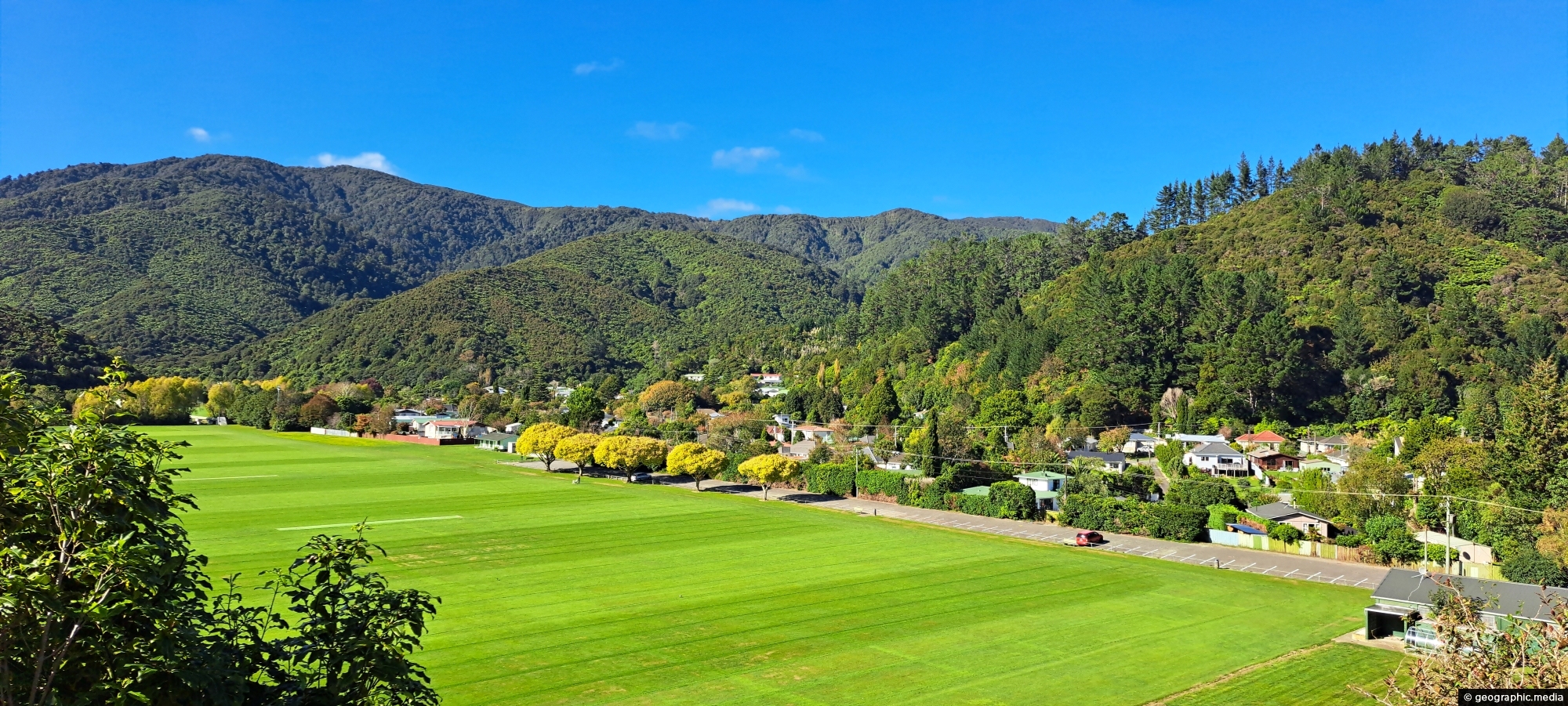
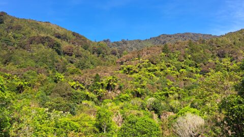
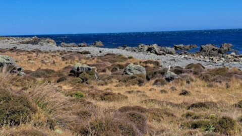
Overlooking Richard Prouse Park, with Harry Todd Recreation Reserve on the hillside to the right and Wainuiomata Regional Park stretching out to the left.
ALL / Explore Oceania / Explore New Zealand / New Zealand Photos / Wainuiomata photos / Richard Prouse Park and Harry Todd Recreation Reserve
All original royalty-free photos, shareable maps, and informative articles.
Richard Prouse Park and Harry Todd Recreation Reserve
Page Views
This post has been viewed 12 times
Related Articles
-
View of Wainuiomata from the Remutaka
Wainuiomata photos, Mountains, Portrait / Vertical, Trees
Looking down on Wainuiomata Valley from atop the Remutaka Range near Mt McKerrow in the southern North Island. Wellington...
-
Wainuiomata Waterworks Museum Display
Wainuiomata photos, Extra Wide Horizontal, Museums
A display inside the Wainuiomata Recreational Area Museum. The museum is dedicated to the history of the waterworks when...
-
Remains of a Power Generator
Wainuiomata photos, Extra Wide Horizontal, Forests
These remnants are believed to be part of a power generator that was used during the construction of the...
-
Hine Road Recreation Area
Wainuiomata photos, Extra Wide Horizontal, Parks
Hine Road Recreation Area, formerly referred to as The Meadow by some, it comprised paddocks hosting grazing horses during...
-
Sledge Track in Wainuiomata
Wainuiomata photos, Forests, Portrait / Vertical, Trails
Sledge Track Creek in Wainuiomata is a one and a half hour walk in Wainuiomata Regional Park. It offers...
-
The Meadow in Wainuiomata
Wainuiomata photos, Autumn, Extra Wide Horizontal, Parks
What was once called The Meadow is now Hine Road Recreation Area, a grassy area that sits alongside Wainuiomata...
-
Waterworks Road in Wainuiomata
Wainuiomata photos, Extra Wide Horizontal, Forests, Roads
View of Waterworks Road, a private road. This location looking back from the end of the road where a...
-
Wetlands in Wainuiomata
Wainuiomata photos, Extra Wide Horizontal, Forests, Wetlands
The suburb of Wainuiomata was largely comprised of swamp. in 1855 a massive 8.2 earthquake raised much land above...
0 Comments
Popular Posts
- Awakening New Zealand video (100)
- Iguazu Falls as seen from Brazil (87)
- Metrocable Medellin (78)
- Pauatahanui Inlet (69)
- Spinnaker Hill View (68)
- Spinnaker Hill in Whitby Porirua (68)
- View from Whitby (68)
- The Devil’s Throat (62)
- Aerial View of Iguazu Falls (61)
- Porirua Harbour & Papakowhai (57)
- Lake Wakatipu (57)
- Salto Rivadavia & Iguassu River (56)
- Lake Tekapo & Lupins (54)
- Nelson View (53)
- Salto Rivadavia Misiones Province (53)
- Cascadas at Iguazu (53)
Subjects
AccommodationAnimalsArchitectureBeachesBirdsBoatsBridgesBuildingsCarsChurchesCitiesCoralCultureExtra Wide HorizontalFlowersForestsHarborsHomesIslandsLakesLandscape / HorizontalMapsMenMonumentsMountainsPalmsParksPeoplePlantsPortrait / VerticalRiversRoadsRuralSeaShopsSkyscrapersSnowSunsetsTownsTrailsTransportTreesVideosVolcanicWaterfalls
Recent Comments
- Lance on Concrete Hut Wainuiomata
- Tony on Concrete Hut Wainuiomata
- DavidJ on Wellington Night Skyline
- Ben on Auckland City Skyline from Westhaven Marina in 1998
- Ben on Auckland Harbour Bridge view