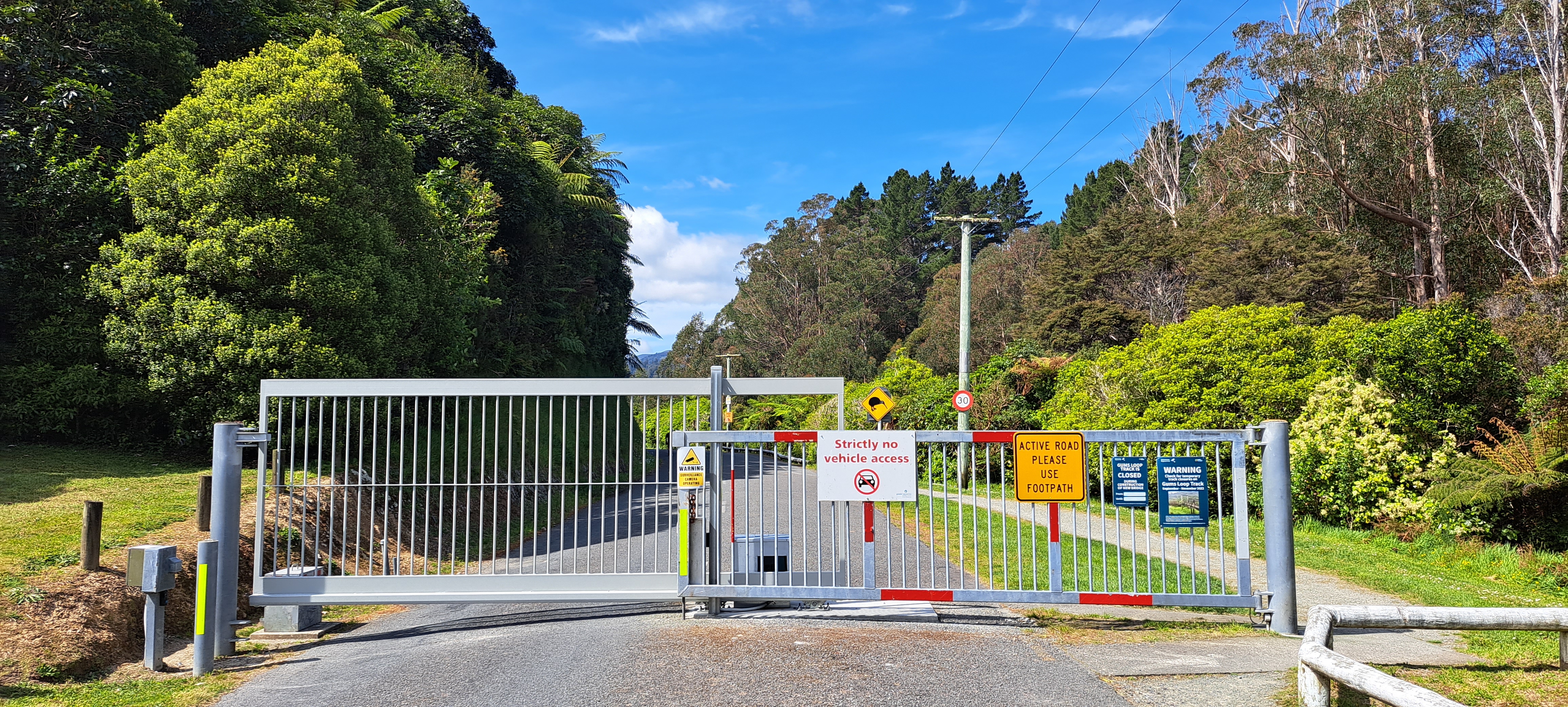
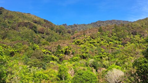
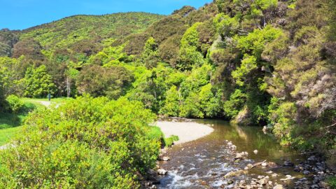
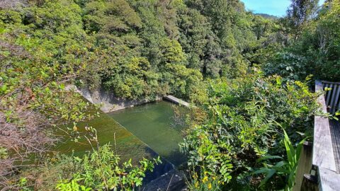
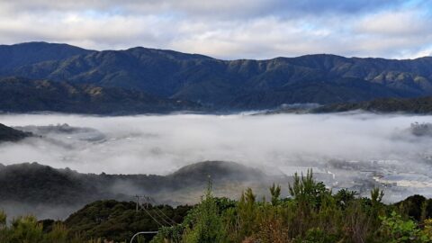
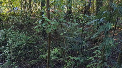
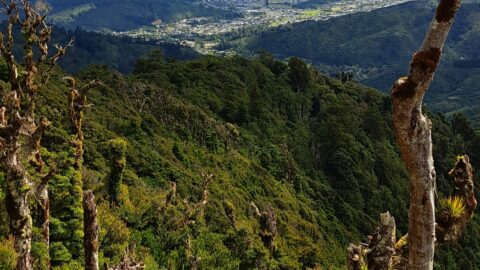
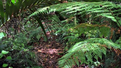
There are also a number of bush tracks into the park that take you through native bush and a mature Eucalypt forest. The Wainuiomata River runs next to the road and the Gums Loop Walk is located on the other side of the river.
ALL / Explore Oceania / Explore New Zealand / New Zealand Photos / Wainuiomata photos / Reservoir Road Gate in Wainuiomata
All original royalty-free photos, shareable maps, and informative articles.
Reservoir Road Gate in Wainuiomata
Page Views
This post has been viewed 700 times
Related Articles
-
Misty Day at Richard Prouse Park
Wainuiomata photos, Extra Wide Horizontal, fog, Mountains, Parks
Winter view of Richard Prouse Park in Wainuiomata, with the hills of Wainuiomata Regional Park shrouded in fog.
-
Wainuiomata Recreational Area Museum
Wainuiomata photos, Extra Wide Horizontal, Homes, Museums
View of the museum in the Wainuiomata Recreational Area. This house among others originally homed workers at the dam.
-
Sledge Track and Kiwi Sign
Wainuiomata photos, Forests, Portrait / Vertical, Trails
Sledge Track Creek in Wainuiomata is a habitat for kiwi, New Zealand’s national bird. These flightless and endangered birds...
-
Track in Poole Crescent Reserve
Wainuiomata photos, Portrait / Vertical, Rivers, Trees
Autumn in Poole Crescent Reserve in Wainuiomata in Lower Hutt. The track and reserve runs parallel with Wainuiomata River.
-
Turakirae Head Scientific Reserve
Wainuiomata photos, Beaches, Extra Wide Horizontal
Turakirae Head Scientific Reserve located on the southern coast of Wainuiomata in New Zealand, is renowned for its geological...
-
Remutaka Hills Wainuiomata
Wainuiomata photos, Extra Wide Horizontal, Forests
Looking at a forested foothill in the Remutaka Range. The Lower Hutt suburb of Wainuiomata is set below these...
-
Wetlands in Wainuiomata
Wainuiomata photos, Extra Wide Horizontal, Forests, Wetlands
The suburb of Wainuiomata was largely comprised of swamp. in 1855 a massive 8.2 earthquake raised much land above...
-
Ōrongorongo Station
Wainuiomata photos, Extra Wide Horizontal, Mountains, Rural
Ōrongorongo Station is a large and historic rural property located near the southern end of Coast Road in Wainuiomata,...
0 Comments
Calendar
M | T | W | T | F | S | S |
---|---|---|---|---|---|---|
1 | 2 | |||||
3 | 4 | 5 | 6 | 7 | 8 | 9 |
10 | 11 | 12 | 13 | 14 | 15 | 16 |
17 | 18 | 19 | 20 | 21 | 22 | 23 |
24 | 25 | 26 | 27 | 28 | 29 | 30 |
31 |
Popular Posts
- Awakening New Zealand video (100)
- Iguazu Falls as seen from Brazil (87)
- Metrocable Medellin (78)
- Pauatahanui Inlet (69)
- Spinnaker Hill in Whitby Porirua (68)
- Spinnaker Hill View (68)
- View from Whitby (68)
- The Devil’s Throat (62)
- Aerial View of Iguazu Falls (61)
- Porirua Harbour & Papakowhai (57)
- Lake Wakatipu (57)
- Salto Rivadavia & Iguassu River (56)
- Lake Tekapo & Lupins (54)
- Nelson View (53)
- Salto Rivadavia Misiones Province (53)
- Cascadas at Iguazu (53)
Subjects
AccommodationAnimalsArchitectureBeachesBirdsBoatsBridgesBuildingsCarsChurchesCitiesCoralCultureExtra Wide HorizontalFlowersForestsHarborsHomesIslandsLakesLandscape / HorizontalMapsMenMonumentsMountainsPalmsParksPeoplePlantsPortrait / VerticalRiversRoadsRuralSeaShopsSkyscrapersSnowSunsetsTownsTrailsTransportTreesVideosVolcanicWaterfalls
Recent Comments
- Lance on Concrete Hut Wainuiomata
- Tony on Concrete Hut Wainuiomata
- DavidJ on Wellington Night Skyline
- Ben on Auckland City Skyline from Westhaven Marina in 1998
- Ben on Auckland Harbour Bridge view